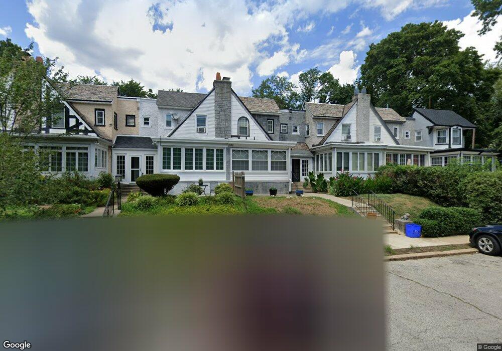
5223 Rexford St Philadelphia, PA 19131
Overbrook NeighborhoodEstimated Value: $252,000 - $370,000
4
Beds
1
Bath
1,536
Sq Ft
$212/Sq Ft
Est. Value
About This Home
This home is located at 5223 Rexford St, Philadelphia, PA 19131 and is currently estimated at $326,050, approximately $212 per square foot. 5223 Rexford St is a home located in Philadelphia County with nearby schools including Samuel Gompers School, Overbrook High School, and Mastery Charter School Mann Elementary.
Ownership History
Date
Name
Owned For
Owner Type
Purchase Details
Closed on
Aug 31, 2001
Sold by
Broussard Nan A
Bought by
Watkins Darrell
Current Estimated Value
Home Financials for this Owner
Home Financials are based on the most recent Mortgage that was taken out on this home.
Original Mortgage
$88,350
Outstanding Balance
$34,427
Interest Rate
6.98%
Estimated Equity
$291,623
Purchase Details
Closed on
Jan 20, 1999
Sold by
Etkin Anne C
Bought by
Broussard Nan A
Create a Home Valuation Report for This Property
The Home Valuation Report is an in-depth analysis detailing your home's value as well as a comparison with similar homes in the area
Home Values in the Area
Average Home Value in this Area
Purchase History
| Date | Buyer | Sale Price | Title Company |
|---|---|---|---|
| Watkins Darrell | $93,000 | Commonwealth Land Title Ins | |
| Broussard Nan A | $86,150 | -- |
Source: Public Records
Mortgage History
| Date | Status | Borrower | Loan Amount |
|---|---|---|---|
| Open | Watkins Darrell | $88,350 |
Source: Public Records
Tax History Compared to Growth
Tax History
| Year | Tax Paid | Tax Assessment Tax Assessment Total Assessment is a certain percentage of the fair market value that is determined by local assessors to be the total taxable value of land and additions on the property. | Land | Improvement |
|---|---|---|---|---|
| 2025 | $4,055 | $310,100 | $62,020 | $248,080 |
| 2024 | $4,055 | $310,100 | $62,020 | $248,080 |
| 2023 | $4,055 | $289,700 | $57,940 | $231,760 |
| 2022 | $1,092 | $244,700 | $57,940 | $186,760 |
| 2021 | $1,722 | $0 | $0 | $0 |
| 2020 | $1,722 | $0 | $0 | $0 |
| 2019 | $1,657 | $0 | $0 | $0 |
| 2018 | $1,237 | $0 | $0 | $0 |
| 2017 | $1,657 | $0 | $0 | $0 |
| 2016 | $1,237 | $0 | $0 | $0 |
| 2015 | $1,185 | $0 | $0 | $0 |
| 2014 | -- | $118,400 | $23,438 | $94,962 |
| 2012 | -- | $19,680 | $3,660 | $16,020 |
Source: Public Records
Map
Nearby Homes
- 5221 Church Rd
- 204 Stoneway Ln
- 213 Stoneway Ln Unit 90
- 2306 N 52nd St
- 2304 N 51st St
- 251 Stoneway Ln
- 162 Union Ave
- 2283 N 51st St
- 2405 N 57th St
- 40 Old Lancaster Rd Unit 215
- 40 Old Lancaster Rd Unit 309
- 40 Old Lancaster Rd Unit 605
- 40 Old Lancaster Rd Unit 302
- 5320 Wynnefield Ave
- 2303 N 50th St
- 118 Maple Ave
- 5046 Nevada St
- 2217-23 Georges Ln
- 5613 Woodcrest Ave
- 20 Conshohocken State Rd Unit 202
- 5227 Rexford St
- 5221 Rexford St
- 5219 Rexford St
- 5225 Rexford St
- 5217 Rexford St
- 5231 Rexford St
- 5229 Rexford St
- 5224 Church Rd
- 5226 Church Rd
- 5222 Church Rd
- 5228 Church Rd
- 5220 Church Rd
- 5230 Church Rd
- 5218 Church Rd
- 5216 Church Rd
- 5214 Church Rd
- 5212 Church Rd
- 5232 Rexford St
- 5210 Church Rd
- 2412 N 52nd St