5229 High St Roscoe, IL 61073
Estimated Value: $309,000 - $521,000
2
Beds
2
Baths
1,518
Sq Ft
$296/Sq Ft
Est. Value
About This Home
This home is located at 5229 High St, Roscoe, IL 61073 and is currently estimated at $448,813, approximately $295 per square foot. 5229 High St is a home located in Winnebago County with nearby schools including Ledgewood Elementary School, Kinnikinnick School, and Stone Creek School.
Create a Home Valuation Report for This Property
The Home Valuation Report is an in-depth analysis detailing your home's value as well as a comparison with similar homes in the area
Home Values in the Area
Average Home Value in this Area
Tax History
| Year | Tax Paid | Tax Assessment Tax Assessment Total Assessment is a certain percentage of the fair market value that is determined by local assessors to be the total taxable value of land and additions on the property. | Land | Improvement |
|---|---|---|---|---|
| 2024 | $12,729 | $155,988 | $43,016 | $112,972 |
| 2022 | $11,260 | $127,971 | $35,290 | $92,681 |
| 2021 | $10,739 | $120,217 | $33,152 | $87,065 |
| 2020 | $10,530 | $115,850 | $31,948 | $83,902 |
| 2019 | $10,235 | $110,660 | $30,517 | $80,143 |
| 2018 | $9,889 | $106,333 | $29,324 | $77,009 |
| 2017 | $9,899 | $102,559 | $28,283 | $74,276 |
| 2016 | $10,025 | $100,914 | $27,829 | $73,085 |
| 2015 | $9,620 | $98,032 | $27,034 | $70,998 |
| 2014 | $8,909 | $96,793 | $26,692 | $70,101 |
Source: Public Records
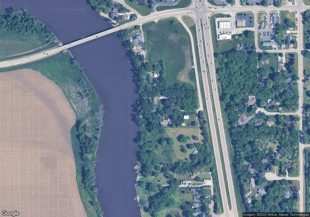
Map
Nearby Homes
- 5651 Thompson Dr
- 5790 Ada Dr
- 0000 Joncey Dr
- 10662 Chicory Ridge Way
- 11392 Edgemere Terrace
- 6346 Smoke Tree Cir
- 6395 Greystone
- 410 Pine White Rd
- 10458 Main St
- 9573 Twin Deer Run
- 10113 Monarch Rd Unit 3
- 10178 Monarch Rd Unit D
- 10178 Monarch Rd
- 10113 Monarch Rd
- 10853 Lemon Grass Ln
- 5683 Oak Village Dr Unit 5683
- 638 Merrion Rd
- 5518 White Pine Ln
- 664 Elberon Way
- 6493 Prairie Flower
Your Personal Tour Guide
Ask me questions while you tour the home.