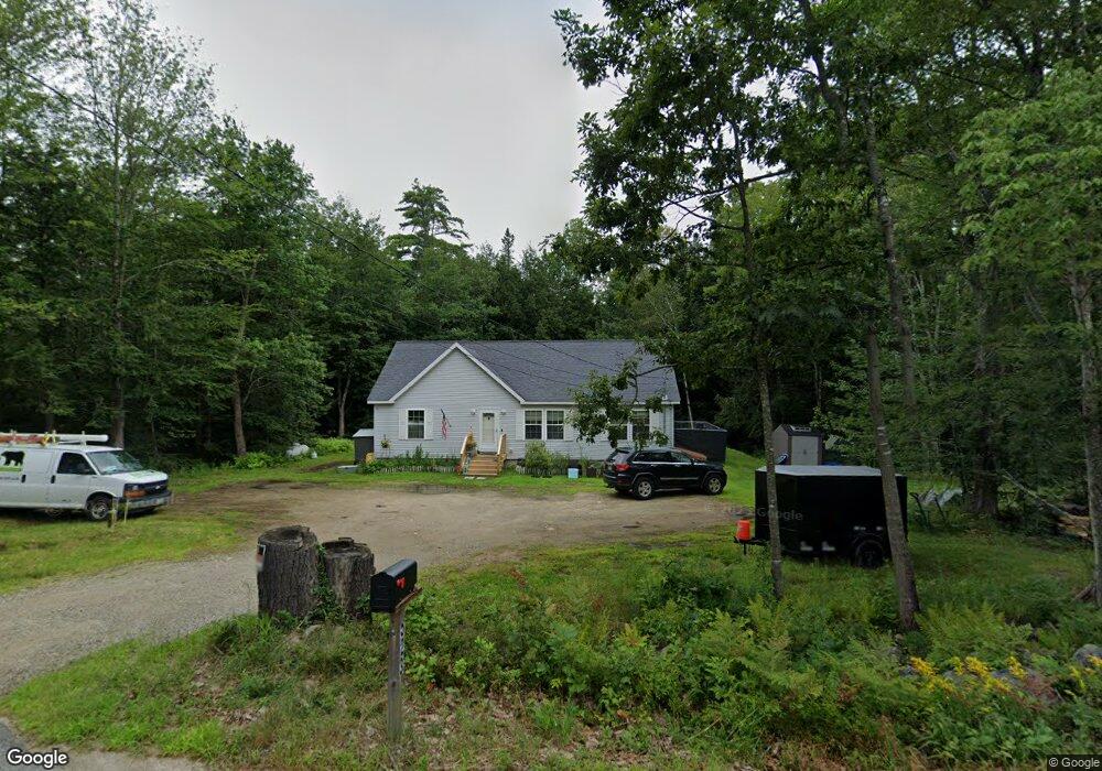
523 Back Rd Shapleigh, ME 04076
Shapleigh NeighborhoodEstimated Value: $324,370 - $434,000
3
Beds
1
Bath
1,248
Sq Ft
$308/Sq Ft
Est. Value
About This Home
This home is located at 523 Back Rd, Shapleigh, ME 04076 and is currently estimated at $383,843, approximately $307 per square foot. 523 Back Rd is a home with nearby schools including Massabesic High School.
Ownership History
Date
Name
Owned For
Owner Type
Purchase Details
Closed on
Feb 28, 2023
Sold by
Parker George M
Bought by
Turner Jean M
Current Estimated Value
Home Financials for this Owner
Home Financials are based on the most recent Mortgage that was taken out on this home.
Original Mortgage
$230,743
Outstanding Balance
$223,525
Interest Rate
6.15%
Mortgage Type
FHA
Estimated Equity
$160,318
Create a Home Valuation Report for This Property
The Home Valuation Report is an in-depth analysis detailing your home's value as well as a comparison with similar homes in the area
Home Values in the Area
Average Home Value in this Area
Purchase History
| Date | Buyer | Sale Price | Title Company |
|---|---|---|---|
| Turner Jean M | -- | None Available |
Source: Public Records
Mortgage History
| Date | Status | Borrower | Loan Amount |
|---|---|---|---|
| Open | Turner Jean M | $230,743 |
Source: Public Records
Tax History Compared to Growth
Tax History
| Year | Tax Paid | Tax Assessment Tax Assessment Total Assessment is a certain percentage of the fair market value that is determined by local assessors to be the total taxable value of land and additions on the property. | Land | Improvement |
|---|---|---|---|---|
| 2024 | $2,039 | $169,193 | $47,640 | $121,553 |
| 2023 | $1,793 | $169,193 | $47,640 | $121,553 |
| 2022 | $1,743 | $169,193 | $47,640 | $121,553 |
| 2021 | $1,734 | $169,193 | $47,640 | $121,553 |
| 2020 | $1,734 | $169,193 | $47,640 | $121,553 |
| 2019 | $1,862 | $183,419 | $47,640 | $135,779 |
| 2018 | $17,864 | $180,771 | $42,429 | $138,342 |
| 2017 | $18,107 | $180,771 | $42,429 | $138,342 |
| 2016 | $1,862 | $180,771 | $42,429 | $138,342 |
| 2015 | $1,808 | $180,771 | $42,429 | $138,342 |
| 2014 | $1,744 | $180,771 | $42,429 | $138,342 |
Source: Public Records
Map
Nearby Homes
- 395 Back Rd
- 95 Walnut Hill Rd
- 687 Back Rd
- Map4lot2 Back Rd
- 210 Ferguson Rd
- 730 Back Rd
- M3 L34-2 Hooper Rd
- 19 Rodrigue Ln
- 451 Hooper Rd
- 599 Gore Rd
- 6 Village Cir
- 768 Gore Rd
- 264 State Loop 23
- TBD 23rd St
- 94 Warden's Way
- 100 Warden's Way
- 19 White Tail Ln
- Lot 14 Milk Rd
- LOT 14A Emery Mills Rd
- 653 Gore Rd