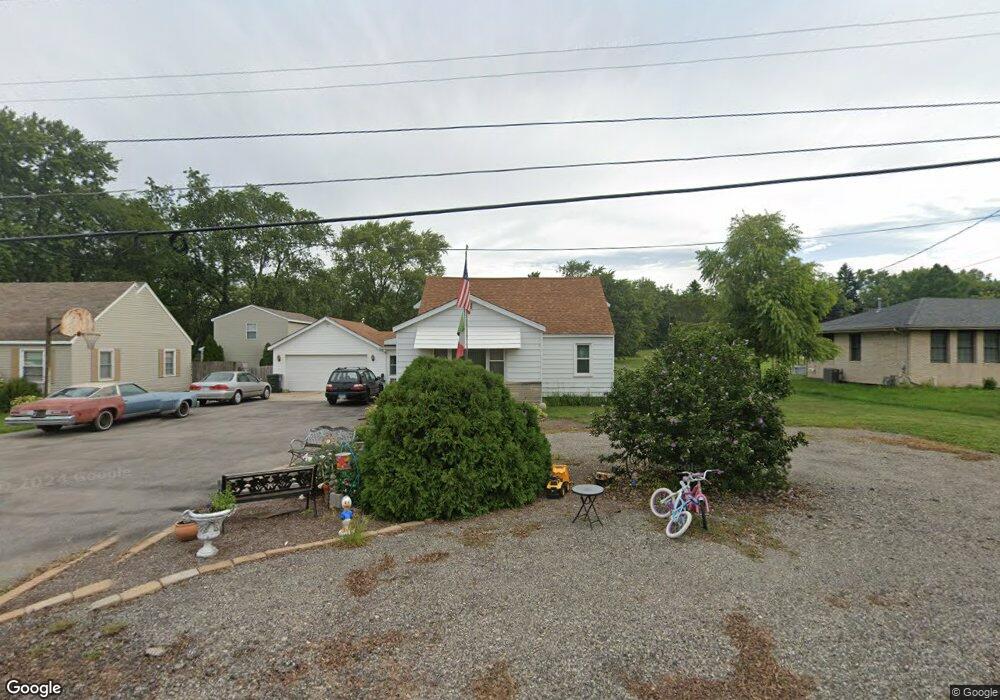
523 Bruce Rd Lockport, IL 60441
South Lockport NeighborhoodEstimated Value: $267,982 - $418,000
Studio
--
Bath
--
Sq Ft
41,818
Sq Ft Lot
About This Home
This home is located at 523 Bruce Rd, Lockport, IL 60441 and is currently estimated at $343,996. 523 Bruce Rd is a home located in Will County with nearby schools including Taft Grade School, Lockport Township High School East, and Saint Dennis School.
Ownership History
Date
Name
Owned For
Owner Type
Purchase Details
Closed on
Feb 25, 2002
Sold by
Labriola Lois Jean
Bought by
Labriola Donato
Current Estimated Value
Home Financials for this Owner
Home Financials are based on the most recent Mortgage that was taken out on this home.
Original Mortgage
$97,000
Interest Rate
7.03%
Create a Home Valuation Report for This Property
The Home Valuation Report is an in-depth analysis detailing your home's value as well as a comparison with similar homes in the area
Home Values in the Area
Average Home Value in this Area
Purchase History
| Date | Buyer | Sale Price | Title Company |
|---|---|---|---|
| Labriola Donato | -- | Greater Illinois Title Compa |
Source: Public Records
Mortgage History
| Date | Status | Borrower | Loan Amount |
|---|---|---|---|
| Closed | Labriola Donato | $97,000 |
Source: Public Records
Tax History
| Year | Tax Paid | Tax Assessment Tax Assessment Total Assessment is a certain percentage of the fair market value that is determined by local assessors to be the total taxable value of land and additions on the property. | Land | Improvement |
|---|---|---|---|---|
| 2024 | $2,263 | $85,604 | $35,334 | $50,270 |
| 2023 | $2,263 | $76,851 | $31,721 | $45,130 |
| 2022 | $2,413 | $59,871 | $27,606 | $32,265 |
| 2021 | $2,878 | $56,264 | $25,943 | $30,321 |
| 2020 | $2,914 | $54,414 | $25,090 | $29,324 |
| 2019 | $2,950 | $51,577 | $23,782 | $27,795 |
| 2018 | $3,432 | $46,817 | $21,587 | $25,230 |
| 2017 | $3,167 | $42,497 | $19,595 | $22,902 |
| 2016 | $2,821 | $37,718 | $17,392 | $20,326 |
| 2015 | $2,390 | $32,925 | $15,182 | $17,743 |
| 2014 | $2,390 | $31,062 | $14,323 | $16,739 |
| 2013 | $2,390 | $33,764 | $15,569 | $18,195 |
Source: Public Records
Map
Nearby Homes
- 418 Connor Ave
- 403 North Ave
- 2021 Princess Ct
- 2009 Princess Ct
- 2005 Princess Ct
- 304 Dell Park Ave
- 302 Hughes Ave
- 516 Whelan St
- 407 North Ave
- 17558 W Windemere Cir
- 216 Dellwood Ave
- 308 Dellwood Ave
- 101 Dellwood Ave
- 2209-11 S State St
- 2141 California Ave
- 1505 East St
- 1513 Connor Ave
- 1509 East St Unit ST1511
- 17228 Como Ave
- 217 Riley Ave
Your Personal Tour Guide
Ask me questions while you tour the home.