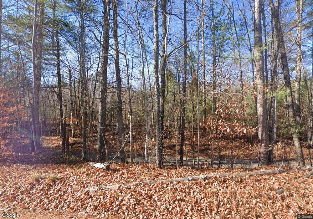
523 E Side Rd Wentworth, NH 03282
Estimated Value: $484,000 - $657,000
2
Beds
2
Baths
1,629
Sq Ft
$337/Sq Ft
Est. Value
About This Home
This home is located at 523 E Side Rd, Wentworth, NH 03282 and is currently estimated at $549,440, approximately $337 per square foot. 523 E Side Rd is a home with nearby schools including Wentworth Elementary School and Plymouth Regional High School.
Ownership History
Date
Name
Owned For
Owner Type
Purchase Details
Closed on
Dec 7, 2015
Sold by
Case Richard P and Case Deborah M
Bought by
Lamy Richard P and Lamy Alice M
Current Estimated Value
Home Financials for this Owner
Home Financials are based on the most recent Mortgage that was taken out on this home.
Original Mortgage
$36,000
Outstanding Balance
$22,723
Interest Rate
3.83%
Mortgage Type
New Conventional
Estimated Equity
$526,717
Create a Home Valuation Report for This Property
The Home Valuation Report is an in-depth analysis detailing your home's value as well as a comparison with similar homes in the area
Purchase History
| Date | Buyer | Sale Price | Title Company |
|---|---|---|---|
| Lamy Richard P | $45,000 | -- |
Source: Public Records
Mortgage History
| Date | Status | Borrower | Loan Amount |
|---|---|---|---|
| Open | Lamy Richard P | $36,000 |
Source: Public Records
Tax History Compared to Growth
Tax History
| Year | Tax Paid | Tax Assessment Tax Assessment Total Assessment is a certain percentage of the fair market value that is determined by local assessors to be the total taxable value of land and additions on the property. | Land | Improvement |
|---|---|---|---|---|
| 2024 | $6,134 | $276,300 | $77,600 | $198,700 |
| 2023 | $6,507 | $258,100 | $77,600 | $180,500 |
| 2022 | $5,106 | $252,500 | $77,600 | $174,900 |
| 2021 | $5,071 | $248,800 | $77,600 | $171,200 |
| 2020 | $4,637 | $180,000 | $45,500 | $134,500 |
| 2019 | $1,159 | $49,900 | $43,800 | $6,100 |
| 2018 | $1,090 | $43,800 | $43,800 | $0 |
| 2017 | $1,124 | $43,800 | $43,800 | $0 |
| 2016 | $989 | $43,800 | $43,800 | $0 |
| 2015 | $1,104 | $52,800 | $48,700 | $4,100 |
| 2013 | $1,152 | $53,700 | $48,700 | $5,000 |
Source: Public Records
Map
Nearby Homes
- Lot 5 E Side Rd
- 968 Mount Moosilauke Hwy
- Lot #80 Beech Hill Rd
- 25 Simmons Dr
- 38 Pond Brook Rd
- 39 Ellsworth Hill Rd
- 446 New Hampshire 25
- 529 New Hampshire 25
- 0 Saunders Hill Rd Unit 10
- 39 Bullseye Curve Rd
- 0 New Hampshire 25 Unit 19 5062790
- 1222 Gov Meldrim Thomson Scenic Hwy
- 295 Cheever Rd
- 768 Doetown Rd
- 362 Cross Rd
- 12-12-10-8 Jacob Hall Farm Rd
- 0 Piermont Heights Rd Unit 18 5054998
- 000 Gilford Ave
- 0 Piermont Heights Rd Unit 25
- 0 Ellsworth Hill Rd
- 1222 Mount Moosilauke Hwy
- 529 E Side Rd
- 1230 Mount Moosilauke Hwy
- 1234 Mount Moosilauke Hwy
- 494 E Side Rd
- 489 E Side Rd
- 1242 Mount Moosilauke Hwy
- 1216 Mount Moosilauke Hwy
- 1216 Mount Moosilauke Hwy
- 1208 Mount Moosilauke Hwy
- 1250 Mount Moosilauke Hwy
- 1237 Mount Moosilauke Hwy
- 1219 Mount Moosilauke Hwy
- 0 Mt Moosilauke Hwy Unit 2803459
- 1258 Mount Moosilauke Hwy
- 1209 Mount Moosilauke Hwy
- 553 E Side Rd
- lot 4 E Side Rd
- 1190 Mount Moosilauke Hwy
- 558 E Side Rd
