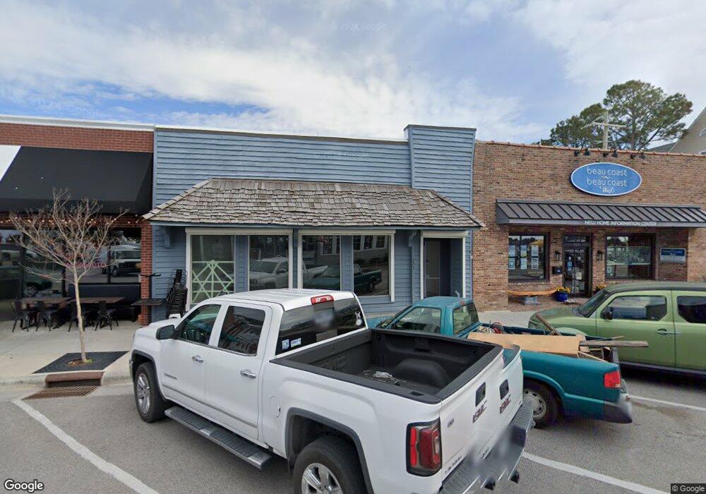
523 Front St Beaufort, NC 28516
Estimated Value: $1,054,799
Studio
--
Bath
3,102
Sq Ft
$340/Sq Ft
Est. Value
About This Home
This home is located at 523 Front St, Beaufort, NC 28516 and is currently estimated at $1,054,799, approximately $340 per square foot. 523 Front St is a home located in Carteret County with nearby schools including Beaufort Elementary School, Beaufort Middle School, and East Carteret High School.
Ownership History
Date
Name
Owned For
Owner Type
Purchase Details
Closed on
Apr 7, 2022
Sold by
Mallard Homes Inc
Bought by
Lawyer Enterprises Llc
Current Estimated Value
Purchase Details
Closed on
Jun 22, 2021
Sold by
Gordon Beatrice Jacquelyne
Bought by
Mallard Homes Inc
Purchase Details
Closed on
Jun 21, 2021
Sold by
First State Trust Company
Bought by
Gordon Beatrice Jacqueline
Purchase Details
Closed on
Jul 15, 2019
Sold by
Coyner Barbara B and Estate Of Robert W Coyner
Bought by
Coyner Barbara B and Robert W Coyner Family Trust
Create a Home Valuation Report for This Property
The Home Valuation Report is an in-depth analysis detailing your home's value as well as a comparison with similar homes in the area
Home Values in the Area
Average Home Value in this Area
Purchase History
| Date | Buyer | Sale Price | Title Company |
|---|---|---|---|
| Lawyer Enterprises Llc | $899,000 | Kirkman Whitford Brady Berryma | |
| Mallard Homes Inc | -- | None Available | |
| Gordon Beatrice Jacqueline | $243,000 | None Available | |
| Coyner Barbara B | -- | None Available |
Source: Public Records
Tax History
| Year | Tax Paid | Tax Assessment Tax Assessment Total Assessment is a certain percentage of the fair market value that is determined by local assessors to be the total taxable value of land and additions on the property. | Land | Improvement |
|---|---|---|---|---|
| 2025 | $5,457 | $938,185 | $515,200 | $422,985 |
| 2024 | $4,863 | $540,087 | $302,643 | $237,444 |
| 2023 | $3,179 | $485,479 | $302,643 | $182,836 |
| 2022 | $4,190 | $485,479 | $302,643 | $182,836 |
| 2021 | $4,190 | $485,479 | $302,643 | $182,836 |
| 2020 | $4,190 | $485,479 | $302,643 | $182,836 |
| 2019 | $2,757 | $324,602 | $215,212 | $109,390 |
| 2017 | $2,522 | $324,602 | $215,212 | $109,390 |
| 2016 | $2,376 | $324,602 | $215,212 | $109,390 |
| 2015 | $2,343 | $324,602 | $215,212 | $109,390 |
| 2014 | $2,587 | $378,305 | $281,107 | $97,198 |
Source: Public Records
Map
Nearby Homes
- 412 Ann St
- 615 Broad St Unit B
- 601 Craven St
- 311 Pollock St
- 608 Cedar St
- 212 Broad St
- 217 Broad St
- 819 Broad St
- 104 Gallants Ln
- 613 Mulberry St
- 805 Mulberry St Unit 104
- 805 Mulberry St Unit 105
- 805 Mulberry St Unit 204
- 805 Mulberry St Unit 101
- 805 Mulberry St Unit 203
- 805 Mulberry St Unit 201
- 805 Mulberry St Unit 202
- 805 Mulberry St Unit 102
- 114 Town Creek Dr Unit D-45
- 104 Chestnut Dr
- 523 Front St Unit 1
- 521 Front St
- 517 Front St
- 513 Front St
- 601 Front St
- 510 Front St Unit 1
- 510 Front St
- 510 Front St Unit 32
- 510 Front St Unit 31
- 113 Queen St
- 509 Front St Unit F
- 509 Front St Unit D
- 509 Front St Unit E
- 509 Front St Unit D
- 509 Front St Unit A
- 509 Front St Unit E
- 115 Queen St
- 505 Front St
- 114 Queen St
- 610 Front St
Your Personal Tour Guide
Ask me questions while you tour the home.