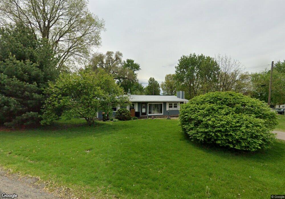
523 Frorer Ave Lincoln, IL 62656
Estimated Value: $105,000 - $124,000
3
Beds
--
Bath
1,152
Sq Ft
$98/Sq Ft
Est. Value
About This Home
This home is located at 523 Frorer Ave, Lincoln, IL 62656 and is currently estimated at $112,674, approximately $97 per square foot. 523 Frorer Ave is a home located in Logan County with nearby schools including Washington-Monroe Elementary School, Lincoln Junior High School, and Lincoln Community High School.
Ownership History
Date
Name
Owned For
Owner Type
Purchase Details
Closed on
Apr 21, 2011
Sold by
Schaub Paul E
Bought by
Coffey Michael A and Turner Mindy J
Current Estimated Value
Home Financials for this Owner
Home Financials are based on the most recent Mortgage that was taken out on this home.
Original Mortgage
$71,300
Outstanding Balance
$49,328
Interest Rate
4.86%
Mortgage Type
Purchase Money Mortgage
Estimated Equity
$63,346
Create a Home Valuation Report for This Property
The Home Valuation Report is an in-depth analysis detailing your home's value as well as a comparison with similar homes in the area
Home Values in the Area
Average Home Value in this Area
Purchase History
| Date | Buyer | Sale Price | Title Company |
|---|---|---|---|
| Coffey Michael A | $66,000 | -- |
Source: Public Records
Mortgage History
| Date | Status | Borrower | Loan Amount |
|---|---|---|---|
| Open | Coffey Michael A | $71,300 |
Source: Public Records
Tax History Compared to Growth
Tax History
| Year | Tax Paid | Tax Assessment Tax Assessment Total Assessment is a certain percentage of the fair market value that is determined by local assessors to be the total taxable value of land and additions on the property. | Land | Improvement |
|---|---|---|---|---|
| 2024 | $1,733 | $24,900 | $11,960 | $12,940 |
| 2023 | $1,612 | $23,050 | $11,070 | $11,980 |
| 2022 | $1,534 | $21,550 | $10,350 | $11,200 |
| 2021 | $1,454 | $20,690 | $9,940 | $10,750 |
| 2020 | $1,427 | $20,380 | $9,790 | $10,590 |
| 2019 | $1,385 | $19,980 | $9,600 | $10,380 |
| 2018 | $1,363 | $19,590 | $9,410 | $10,180 |
| 2017 | $1,355 | $19,590 | $9,410 | $10,180 |
| 2016 | $2,105 | $27,660 | $9,400 | $18,260 |
| 2015 | $1,870 | $25,320 | $9,090 | $16,230 |
| 2014 | $1,870 | $25,320 | $9,090 | $16,230 |
| 2013 | $1,870 | $24,040 | $8,630 | $15,410 |
| 2012 | $1,870 | $24,480 | $8,790 | $15,690 |
Source: Public Records
Map
Nearby Homes
- 502 Williamette Ave
- 802 Bryan Ave
- 418 Wyatt Ave
- 617 Decatur St
- 402 Wyatt Ave
- 521 Decatur St
- 716 S Kickapoo St
- 929 Decatur St
- 419 Decatur St
- 1025 Broadway St
- 1121 Broadway St
- 928 Broadway St
- 410 S Chicago St
- 1311 Broadway St
- 515 S Maple St Unit 517
- 413 S Elm St
- 403 S Elm St
- 310 W Kickapoo St
- 225 4th St
- 311 S Logan St