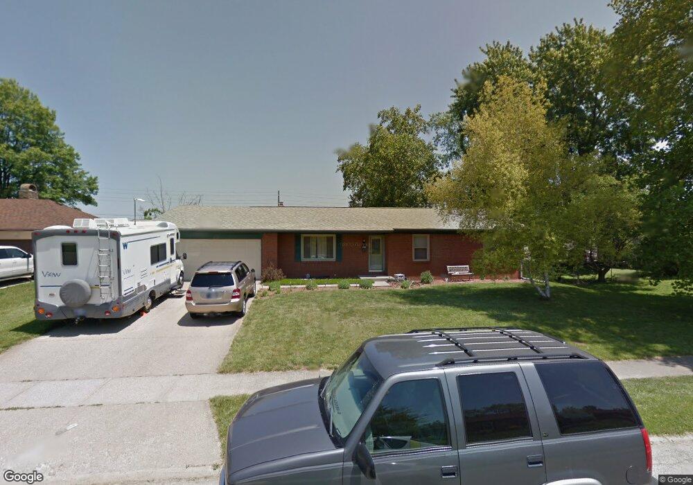
523 S Grant St Brownsburg, IN 46112
Estimated Value: $245,000 - $257,903
3
Beds
2
Baths
1,248
Sq Ft
$202/Sq Ft
Est. Value
About This Home
This home is located at 523 S Grant St, Brownsburg, IN 46112 and is currently estimated at $251,976, approximately $201 per square foot. 523 S Grant St is a home located in Hendricks County with nearby schools including Brown Elementary School, Brownsburg West Middle School, and Brownsburg High School.
Ownership History
Date
Name
Owned For
Owner Type
Purchase Details
Closed on
Sep 15, 2017
Sold by
Collins Jason J
Bought by
Artmeier Michelle A and Snodderley Christopher M
Current Estimated Value
Home Financials for this Owner
Home Financials are based on the most recent Mortgage that was taken out on this home.
Original Mortgage
$65,200
Outstanding Balance
$54,447
Interest Rate
3.9%
Mortgage Type
New Conventional
Estimated Equity
$197,529
Create a Home Valuation Report for This Property
The Home Valuation Report is an in-depth analysis detailing your home's value as well as a comparison with similar homes in the area
Home Values in the Area
Average Home Value in this Area
Purchase History
| Date | Buyer | Sale Price | Title Company |
|---|---|---|---|
| Artmeier Michelle A | -- | -- |
Source: Public Records
Mortgage History
| Date | Status | Borrower | Loan Amount |
|---|---|---|---|
| Open | Artmeier Michelle A | $65,200 |
Source: Public Records
Tax History Compared to Growth
Tax History
| Year | Tax Paid | Tax Assessment Tax Assessment Total Assessment is a certain percentage of the fair market value that is determined by local assessors to be the total taxable value of land and additions on the property. | Land | Improvement |
|---|---|---|---|---|
| 2024 | $3,400 | $170,000 | $20,300 | $149,700 |
| 2023 | $3,412 | $169,900 | $19,800 | $150,100 |
| 2022 | $2,464 | $123,000 | $16,000 | $107,000 |
| 2021 | $2,490 | $123,000 | $18,700 | $104,300 |
| 2020 | $3,063 | $149,800 | $22,500 | $127,300 |
| 2019 | $2,874 | $141,600 | $20,800 | $120,800 |
| 2018 | $1,697 | $83,200 | $12,500 | $70,700 |
| 2017 | $1,699 | $132,900 | $20,000 | $112,900 |
| 2016 | $1,442 | $130,100 | $20,000 | $110,100 |
| 2014 | $1,401 | $126,600 | $19,800 | $106,800 |
Source: Public Records
Map
Nearby Homes
- 308 Maplebrook Dr
- 409 S Grant St
- 3463 Sunnyvale Dr
- 756 Maple Ln
- 609 Maple Ln
- 652 E Tilden Dr
- 390 Vinewood Dr N
- 388 Vinewood Dr S
- 370 Vinewood Dr S
- 470 Sycamore St
- 319 E College Ave
- 315 E College Ave Unit 20
- 27 Ashwood Cir
- 509 E Main St
- 645 E Main St
- 117 Prairie Pkwy
- 4502 Yellowwood Ave
- 4498 Yellowwood Ave
- 4494 Yellowwood Ave
- 4497 Yellowwood Ave
- 519 S Grant St
- 527 S Grant St
- 601 S Grant St
- 515 S Grant St
- 524 S Grant St
- 520 S Grant St
- 516 S Grant St
- 605 S Grant St
- 511 S Grant St
- 316 Maplebrook Dr
- 317 Maplebrook Dr
- 512 S Grant St
- 609 S Grant St
- 211 Gordon Ct
- 313 Maplebrook Dr
- 312 Maplebrook Dr
- 209 Gordon Ct
- 508 S Grant St
- 608 S Grant St
- 613 S Grant St