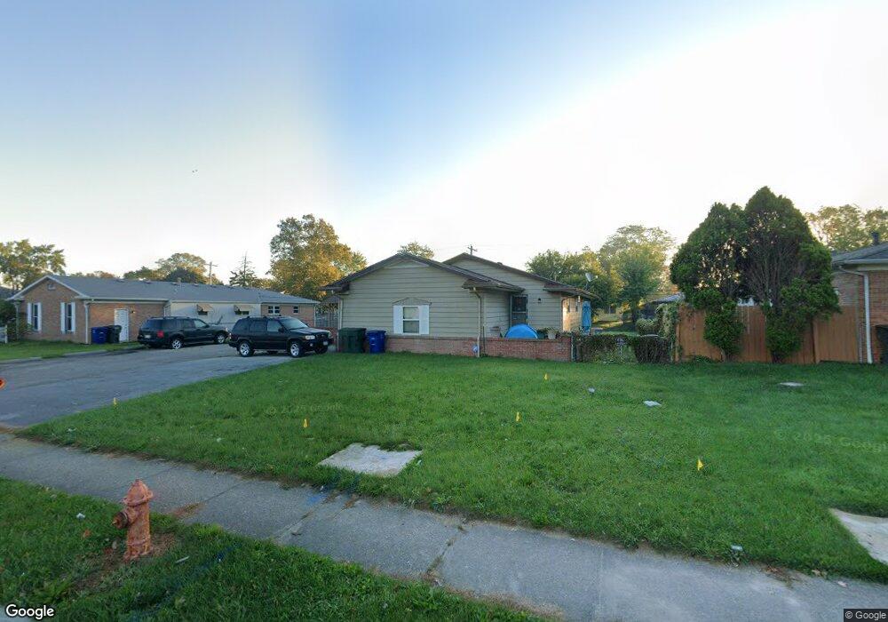
5230 Karl Rd Unit 232 Columbus, OH 43229
Forest Park East NeighborhoodEstimated Value: $318,097 - $339,000
5
Beds
3
Baths
2,148
Sq Ft
$153/Sq Ft
Est. Value
About This Home
This home is located at 5230 Karl Rd Unit 232, Columbus, OH 43229 and is currently estimated at $328,774, approximately $153 per square foot. 5230 Karl Rd Unit 232 is a home located in Franklin County with nearby schools including Parkmoor Elementary School, Woodward Park Middle School, and Northland High School.
Ownership History
Date
Name
Owned For
Owner Type
Purchase Details
Closed on
Feb 28, 2001
Sold by
Ryan Tim E
Bought by
Maienza Michael and Maienza Maria
Current Estimated Value
Purchase Details
Closed on
Jul 2, 1986
Bought by
Ryan Tim E
Purchase Details
Closed on
Feb 1, 1984
Purchase Details
Closed on
Nov 1, 1983
Create a Home Valuation Report for This Property
The Home Valuation Report is an in-depth analysis detailing your home's value as well as a comparison with similar homes in the area
Home Values in the Area
Average Home Value in this Area
Purchase History
| Date | Buyer | Sale Price | Title Company |
|---|---|---|---|
| Maienza Michael | $128,000 | Chicago Title | |
| Ryan Tim E | $79,900 | -- | |
| -- | -- | -- | |
| -- | -- | -- |
Source: Public Records
Tax History Compared to Growth
Tax History
| Year | Tax Paid | Tax Assessment Tax Assessment Total Assessment is a certain percentage of the fair market value that is determined by local assessors to be the total taxable value of land and additions on the property. | Land | Improvement |
|---|---|---|---|---|
| 2024 | $4,406 | $96,150 | $23,590 | $72,560 |
| 2023 | $4,351 | $96,145 | $23,590 | $72,555 |
| 2022 | $3,102 | $58,380 | $13,020 | $45,360 |
| 2021 | $3,108 | $58,380 | $13,020 | $45,360 |
| 2020 | $3,113 | $58,380 | $13,020 | $45,360 |
| 2019 | $2,688 | $43,230 | $9,630 | $33,600 |
| 2018 | $2,716 | $43,230 | $9,630 | $33,600 |
| 2017 | $2,853 | $43,230 | $9,630 | $33,600 |
| 2016 | $3,018 | $44,420 | $9,730 | $34,690 |
| 2015 | $2,747 | $44,420 | $9,730 | $34,690 |
| 2014 | $2,754 | $44,420 | $9,730 | $34,690 |
| 2013 | $1,492 | $48,790 | $10,255 | $38,535 |
Source: Public Records
Map
Nearby Homes
- 5231 Arrowood Ct
- 1493 Boxwood Dr
- 1704 Riverbirch Dr
- 5022 Sienna Ln
- 1485 Norma Rd
- 1385 Thurell Rd
- 5124 Northcliff Loop W
- 4923 Karl Rd Unit 4925
- 1722 Blue Ash Place
- 5485 Tamarack Blvd
- 4852 Colonel Perry Dr
- 1492 Cottonwood Dr
- 1414 Alvina Dr
- 4816 Bourke Rd
- 4815 Bourke Rd
- 5415 Vinewood Ct
- 5480 Rockwood Ct Unit R1
- 4800 Bourke Rd
- 1687 Brookfield Square S
- 4791 Bourke Rd
- 5240 Karl Rd Unit 242
- 5218 Karl Rd Unit 220
- 5218-5220 Karl Rd
- 5223 Arrowood Ct
- 5215 Arrowood Ct
- 5252-5254 Karl Rd
- 5252 Karl Rd Unit 254
- 5208 Karl Rd Unit 210
- 5207 Arrowood Ct
- 5237 Karl Rd
- 5229 Karl Rd
- 5223 Karl Rd
- 5245 Karl Rd
- 5245 Arrowood Ct
- 5264 Karl Rd Unit 266
- 5196 Karl Rd
- 5194 Karl Rd Unit 196
- 5215 Karl Rd
- 5194-5196 Karl Rd
- 5199 Arrowood Ct