5230 Spaulding Blvd SE Unit 52 Grand Rapids, MI 49546
Estimated Value: $478,914 - $512,000
4
Beds
3
Baths
2,534
Sq Ft
$198/Sq Ft
Est. Value
About This Home
This home is located at 5230 Spaulding Blvd SE Unit 52, Grand Rapids, MI 49546 and is currently estimated at $502,479, approximately $198 per square foot. 5230 Spaulding Blvd SE Unit 52 is a home located in Kent County with nearby schools including Meadow Brook Elementary School, Northern Trails 5/6 School, and Northern Hills Middle School.
Ownership History
Date
Name
Owned For
Owner Type
Purchase Details
Closed on
Mar 22, 2004
Sold by
Mas Francisco J and Clemboslee Mas Valerie
Bought by
Langerak Joseph H and Langerak Janet M
Current Estimated Value
Home Financials for this Owner
Home Financials are based on the most recent Mortgage that was taken out on this home.
Original Mortgage
$170,000
Interest Rate
5.86%
Mortgage Type
Purchase Money Mortgage
Create a Home Valuation Report for This Property
The Home Valuation Report is an in-depth analysis detailing your home's value as well as a comparison with similar homes in the area
Home Values in the Area
Average Home Value in this Area
Purchase History
| Date | Buyer | Sale Price | Title Company |
|---|---|---|---|
| Langerak Joseph H | $231,000 | Metropolitan Title Company |
Source: Public Records
Mortgage History
| Date | Status | Borrower | Loan Amount |
|---|---|---|---|
| Previous Owner | Langerak Joseph H | $170,000 | |
| Closed | Langerak Joseph H | $35,000 |
Source: Public Records
Tax History Compared to Growth
Tax History
| Year | Tax Paid | Tax Assessment Tax Assessment Total Assessment is a certain percentage of the fair market value that is determined by local assessors to be the total taxable value of land and additions on the property. | Land | Improvement |
|---|---|---|---|---|
| 2025 | $3,020 | $234,800 | $0 | $0 |
| 2024 | $3,020 | $218,400 | $0 | $0 |
| 2023 | $4,229 | $184,900 | $0 | $0 |
| 2022 | $4,092 | $163,300 | $0 | $0 |
| 2021 | $3,995 | $160,900 | $0 | $0 |
| 2020 | $2,696 | $149,300 | $0 | $0 |
| 2019 | $3,913 | $138,200 | $0 | $0 |
| 2018 | $3,913 | $137,200 | $0 | $0 |
| 2017 | $3,898 | $130,400 | $0 | $0 |
| 2016 | $3,763 | $128,000 | $0 | $0 |
| 2015 | -- | $128,000 | $0 | $0 |
| 2013 | -- | $113,000 | $0 | $0 |
Source: Public Records
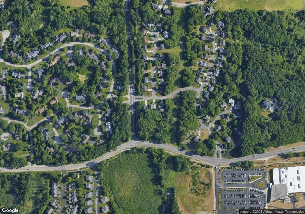
Map
Nearby Homes
- 2322 Pheasant Ct SE Unit 17
- 2242 Christine Ct SE
- 2376 Bob White Ct SE
- 2462 Highridge Ln SE
- 2033 Talamore Ct SE
- 4875 N Quail Crest Dr SE
- 1909 Deerfield Ct SE
- 2521 Chatham Woods Dr SE Unit 36
- 1878 Watermark Dr SE
- 2630 Chatham Woods Dr SE Unit 1
- 2657 Chatham Woods Dr SE Unit 21
- 2570 Knightsbridge Rd SE Unit 63
- 2594 Talltimber Ct
- 4478 Burton Forest Ct SE
- 4496 Shiloh Way Dr SE
- 1674 Riva Ridge Dr SE
- 2444 Irene Ave SE
- 1598 MacNider Ave SE
- 5644 Cascade Rd SE
- 5808 Manchester Hills Dr SE
- 5248 Spaulding Blvd SE
- 5222 Spaulding Blvd SE Unit 51
- 695 Spaulding Blvd SE
- 2300 Christine Ct SE
- 2297 Christine Ct SE
- 2290 Christine Ct SE
- 2285 Christine Ct SE
- 2278 Christine Ct SE Unit 35
- 2273 Christine Ct SE
- 2320 Pheasant Ct SE
- 2266 Christine Ct SE Unit 36
- 5199 N Quail Crest Dr SE
- 2265 Christine Ct SE
- 2336 Pheasant Ct SE Unit 20
- 2328 Burton Pointe Blvd SE Unit 14
- 2250 Christine Ct SE
- 5200 N Quail Crest Dr SE Unit 6
- 2253 Christine Ct SE Unit 46
- 2295 Burton Pointe Blvd SE
- 5198 N Quail Crest Dr SE Unit 7