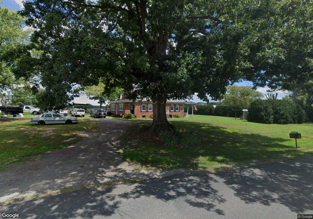
5231 Lewiston Rd Bumpass, VA 23024
Margo NeighborhoodEstimated Value: $137,000 - $328,000
4
Beds
2
Baths
2,040
Sq Ft
$114/Sq Ft
Est. Value
About This Home
This home is located at 5231 Lewiston Rd, Bumpass, VA 23024 and is currently estimated at $232,500, approximately $113 per square foot. 5231 Lewiston Rd is a home located in Spotsylvania County with nearby schools including Livingston Elementary School, Post Oak Middle School, and Spotsylvania High School.
Ownership History
Date
Name
Owned For
Owner Type
Purchase Details
Closed on
Mar 10, 2021
Sold by
Sweeney Amanda D and Duke Matthew B
Bought by
Sweeney Paul Anthony and Sweeney Pamela Marie
Current Estimated Value
Purchase Details
Closed on
Dec 1, 2020
Sold by
Sweeney Amanda D
Bought by
Duke Matthew Brandon and Albrycht Melinda D
Purchase Details
Closed on
Jan 15, 2020
Sold by
Duke Matthew Brandon and Albrycht Melinda D
Bought by
Sweeney Amanda D
Purchase Details
Closed on
May 13, 2007
Sold by
Duke James
Bought by
Christensen Linda
Create a Home Valuation Report for This Property
The Home Valuation Report is an in-depth analysis detailing your home's value as well as a comparison with similar homes in the area
Home Values in the Area
Average Home Value in this Area
Purchase History
| Date | Buyer | Sale Price | Title Company |
|---|---|---|---|
| Sweeney Paul Anthony | -- | None Available | |
| Duke Matthew Brandon | -- | None Available | |
| Sweeney Amanda D | -- | None Available | |
| Sweeney Amanda D | -- | None Available | |
| Christensen Linda | -- | -- |
Source: Public Records
Tax History Compared to Growth
Tax History
| Year | Tax Paid | Tax Assessment Tax Assessment Total Assessment is a certain percentage of the fair market value that is determined by local assessors to be the total taxable value of land and additions on the property. | Land | Improvement |
|---|---|---|---|---|
| 2025 | $76 | $83,500 | $83,500 | $0 |
| 2024 | $76 | $83,500 | $83,500 | $0 |
| 2023 | $80 | $74,800 | $74,800 | $0 |
| 2022 | $77 | $74,800 | $74,800 | $0 |
| 2021 | $666 | $82,300 | $82,300 | $0 |
| 2020 | $1,454 | $281,400 | $153,700 | $127,700 |
| 2019 | $1,508 | $279,800 | $153,700 | $126,100 |
| 2018 | $1,425 | $272,900 | $153,700 | $119,200 |
| 2017 | $1,411 | $267,800 | $153,700 | $114,100 |
| 2016 | $1,411 | $267,800 | $153,700 | $114,100 |
| 2015 | -- | $263,700 | $153,700 | $110,000 |
| 2014 | -- | $263,700 | $153,700 | $110,000 |
Source: Public Records
Map
Nearby Homes
- 5609 Courthouse Rd
- 4911 Lewiston Rd
- 5224 Pendleton Farm Rd
- 5924 Bradley Ln
- 13009-13141 Lake Anna Village Dr
- 5947 Courthouse Rd
- 4715 Eagle Point Ct
- 13320 Alva Brooks Ln
- 5428 Ridge Rd
- 13308 Black Walnut Ln
- 12822 Stage Coach Rd
- 13537 Alva Brooks Ln
- 12029 Sycamore Shoals Dr
- 5036 Corsair Terrace
- 11532 Taylor Ridge Way
- 6630 Hook Ct
- 6640 Lanes Corner Rd
- 3937 Breaknock Rd
- 3807 Bear Tree Ln
- 5119 Dickerson Rd
- 5229 Lewiston Rd
- 5301 Lewiston Rd
- 5232 Lewiston Rd
- 5217 Lewiston Rd
- 5304 Lewiston Rd
- 5313 Lewiston Rd
- 5209 Lewiston Rd
- 5309 Lewiston Rd
- 5201 Lewiston Rd
- 5228 Lewiston Rd
- 5241 Lewiston Rd
- 5216 Lewiston Rd
- 5321 Lewiston Rd
- 5208 Lewiston Rd
- 5332 Lewiston Rd
- 5204 Lewiston Rd
- 5137 Lewiston Rd
- 5335 Lewiston Rd
- 5141 Lewiston Rd
- 5133 Lewiston Rd