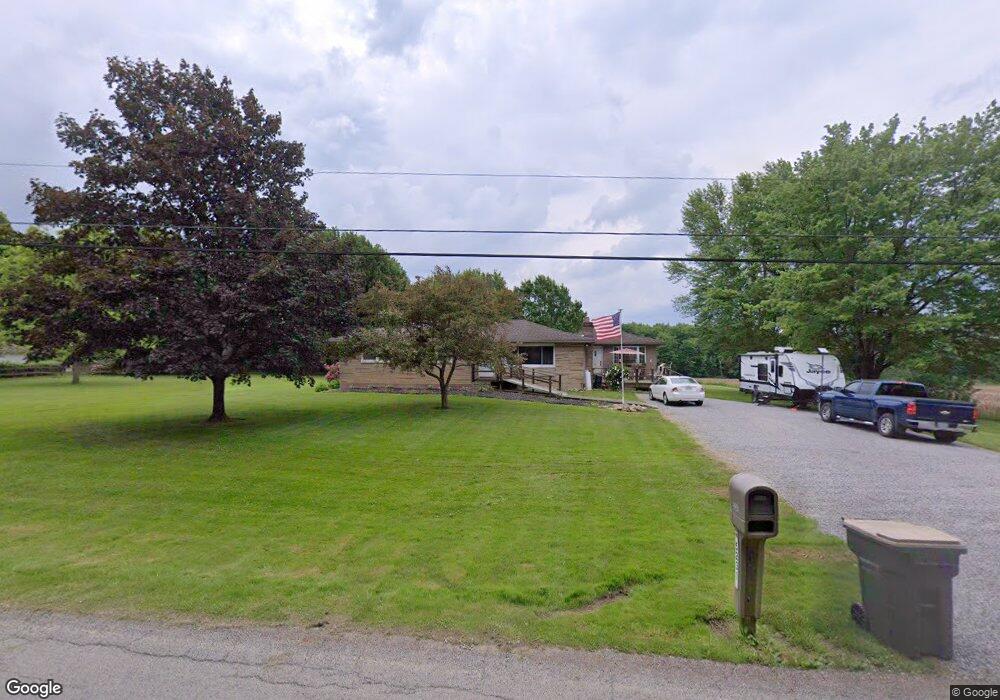
5231 W Middletown Rd Canfield, OH 44406
Estimated Value: $268,000 - $396,000
4
Beds
2
Baths
1,836
Sq Ft
$183/Sq Ft
Est. Value
About This Home
This home is located at 5231 W Middletown Rd, Canfield, OH 44406 and is currently estimated at $335,854, approximately $182 per square foot. 5231 W Middletown Rd is a home located in Mahoning County with nearby schools including South Range Elementary School, South Range Middle School, and South Range High School.
Ownership History
Date
Name
Owned For
Owner Type
Purchase Details
Closed on
Aug 18, 2025
Sold by
Sekely Billie Kay and Lanzendorfer Billie Kay
Bought by
Lanzendorfer Family Revocable Living Trust and Lanzendorfer
Current Estimated Value
Purchase Details
Closed on
Jun 29, 2011
Sold by
Neal Wendell R
Bought by
Sekely Billie Kay
Home Financials for this Owner
Home Financials are based on the most recent Mortgage that was taken out on this home.
Original Mortgage
$119,700
Interest Rate
4.55%
Mortgage Type
New Conventional
Purchase Details
Closed on
Mar 7, 2005
Sold by
Household Realty Corp
Bought by
Flak Christopher S and Flak Kim L
Home Financials for this Owner
Home Financials are based on the most recent Mortgage that was taken out on this home.
Original Mortgage
$99,200
Interest Rate
10.37%
Mortgage Type
Purchase Money Mortgage
Purchase Details
Closed on
Jan 13, 2004
Sold by
Gilbey George W
Bought by
Household Realty Corp
Purchase Details
Closed on
Mar 14, 1985
Bought by
Gilbey Sue A
Create a Home Valuation Report for This Property
The Home Valuation Report is an in-depth analysis detailing your home's value as well as a comparison with similar homes in the area
Home Values in the Area
Average Home Value in this Area
Purchase History
| Date | Buyer | Sale Price | Title Company |
|---|---|---|---|
| Lanzendorfer Family Revocable Living Trust | -- | None Listed On Document | |
| Sekely Billie Kay | $126,000 | Barrister Of Oh | |
| Flak Christopher S | $124,000 | -- | |
| Household Realty Corp | $118,000 | Foundation Title | |
| Gilbey Sue A | -- | -- |
Source: Public Records
Mortgage History
| Date | Status | Borrower | Loan Amount |
|---|---|---|---|
| Previous Owner | Sekely Billie Kay | $119,700 | |
| Previous Owner | Flak Christopher S | $99,200 | |
| Closed | Flak Christopher S | $7,440 |
Source: Public Records
Tax History Compared to Growth
Tax History
| Year | Tax Paid | Tax Assessment Tax Assessment Total Assessment is a certain percentage of the fair market value that is determined by local assessors to be the total taxable value of land and additions on the property. | Land | Improvement |
|---|---|---|---|---|
| 2024 | $3,393 | $71,970 | $21,410 | $50,560 |
| 2023 | $3,406 | $71,970 | $21,410 | $50,560 |
| 2022 | $3,115 | $57,090 | $18,170 | $38,920 |
| 2021 | $3,038 | $57,090 | $18,170 | $38,920 |
| 2020 | $3,053 | $57,090 | $18,170 | $38,920 |
| 2019 | $2,743 | $49,060 | $18,170 | $30,890 |
| 2018 | $2,754 | $49,060 | $18,170 | $30,890 |
| 2017 | $2,784 | $49,060 | $18,170 | $30,890 |
| 2016 | $2,816 | $49,150 | $19,290 | $29,860 |
| 2015 | $2,718 | $49,150 | $19,290 | $29,860 |
| 2014 | $2,774 | $49,150 | $19,290 | $29,860 |
| 2013 | $2,756 | $49,150 | $19,290 | $29,860 |
Source: Public Records
Map
Nearby Homes
- 5111 W Middletown Rd
- 0 W Middletown Rd
- 11160 Detwiler Rd
- 5984 W South Range Rd
- 12157 Columbiana Canfield Rd
- 12471 Columbiana Canfield Rd
- 9256 Columbiana Canfield Rd
- 3555 W South Range Rd
- 7060 W South Range Rd
- 7489 W South Range Rd
- 6605 Covington Cove
- 9757 New Buffalo Rd
- 9501 New Buffalo Rd
- 8075 S Raccoon Rd
- 13752 Columbiana Canfield Rd
- 8475 Youngstown - Salem Rd
- 8055 Memory Ln
- 4808 Leffingwell Rd
- 11695 Basinger Rd
- 8099 W Western Reserve Rd
- 5205 W Middletown Rd
- 5220 W Middletown Rd
- 5173 W Middletown Rd
- 5321 W Middletown Rd
- 5176 W Middletown Rd
- 5284 W Middletown Rd
- 5135 W Middletown Rd
- 5406 W Middletown Rd
- 5391 W Middletown Rd
- 5075 W Middletown Rd
- 5190 W Middletown Rd
- 0 Green Beaver Rd Unit 4370806
- 5061 W Middletown Rd
- 11039 Green Beaver Rd
- 5480 W Middletown Rd
- 11156 Green Beaver Rd
- 11016 Green Beaver Rd
- 5021 W Middletown Rd
- 11202 Green Beaver Rd
- 5500 W Middletown Rd