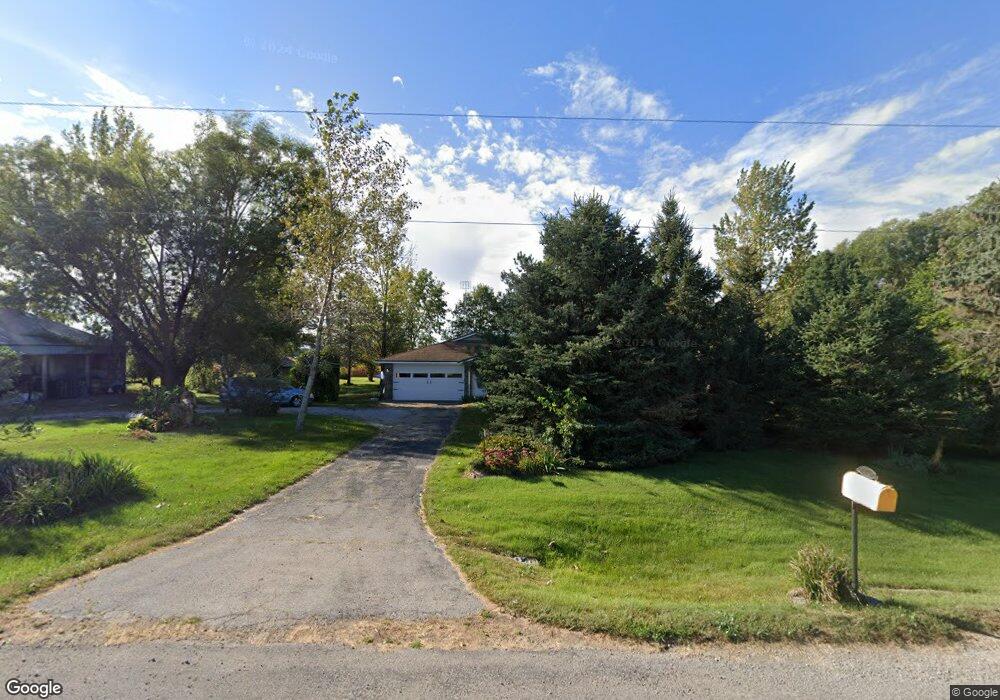
5235 540th St SE Lone Tree, IA 52755
Estimated Value: $289,000 - $321,000
--
Bed
1
Bath
1,198
Sq Ft
$256/Sq Ft
Est. Value
About This Home
This home is located at 5235 540th St SE, Lone Tree, IA 52755 and is currently estimated at $306,210, approximately $255 per square foot. 5235 540th St SE is a home located in Johnson County with nearby schools including Lone Tree Elementary School and Lone Tree Junior/Senior High School.
Ownership History
Date
Name
Owned For
Owner Type
Purchase Details
Closed on
Apr 3, 2013
Sold by
Peiffer Jason D and Peiffer Jasmin C
Bought by
Drish Jeffrey A and Grubb Nancy L
Current Estimated Value
Home Financials for this Owner
Home Financials are based on the most recent Mortgage that was taken out on this home.
Original Mortgage
$136,000
Outstanding Balance
$95,885
Interest Rate
3.52%
Mortgage Type
New Conventional
Estimated Equity
$210,325
Create a Home Valuation Report for This Property
The Home Valuation Report is an in-depth analysis detailing your home's value as well as a comparison with similar homes in the area
Home Values in the Area
Average Home Value in this Area
Purchase History
| Date | Buyer | Sale Price | Title Company |
|---|---|---|---|
| Drish Jeffrey A | $271,200 | None Available |
Source: Public Records
Mortgage History
| Date | Status | Borrower | Loan Amount |
|---|---|---|---|
| Open | Drish Jeffrey A | $136,000 |
Source: Public Records
Tax History Compared to Growth
Tax History
| Year | Tax Paid | Tax Assessment Tax Assessment Total Assessment is a certain percentage of the fair market value that is determined by local assessors to be the total taxable value of land and additions on the property. | Land | Improvement |
|---|---|---|---|---|
| 2025 | $2,698 | $253,900 | $75,700 | $178,200 |
| 2024 | $2,670 | $249,600 | $75,700 | $173,900 |
| 2023 | $2,726 | $249,600 | $75,700 | $173,900 |
| 2022 | $2,688 | $211,900 | $65,000 | $146,900 |
| 2021 | $2,602 | $211,900 | $65,000 | $146,900 |
| 2020 | $2,602 | $194,300 | $65,000 | $129,300 |
| 2019 | $2,406 | $194,300 | $65,000 | $129,300 |
| 2018 | $2,360 | $177,900 | $65,000 | $112,900 |
| 2017 | $2,402 | $177,900 | $65,000 | $112,900 |
| 2016 | $2,266 | $174,600 | $65,000 | $109,600 |
| 2015 | $2,266 | $174,600 | $65,000 | $109,600 |
| 2014 | $2,218 | $168,500 | $53,600 | $114,900 |
Source: Public Records
Map
Nearby Homes
- 0 520th St SE
- 745 N Perkins St
- 219 Taylor Dr
- 201 N Devoe St
- 221 W Commercial St
- 407 E Elm St
- 500 S Center St
- 203 W Dougherty Dr
- 106 Dorothy Ln
- 1118 120th St
- 5888 Sand Rd SE
- 121 Brady St
- 0 Napoleon St SE
- Rr Napoleon St SE
- 0 Soccer Park Rd at Napoleon St SE Unit NOC6329595
- 41 Williams Cir
- 0 Soccer Park Rd
- 201 Sierra Park Dr
- 0 Lot 1 Unit Country Vista - Down
- 111 Oak Ridge Ave