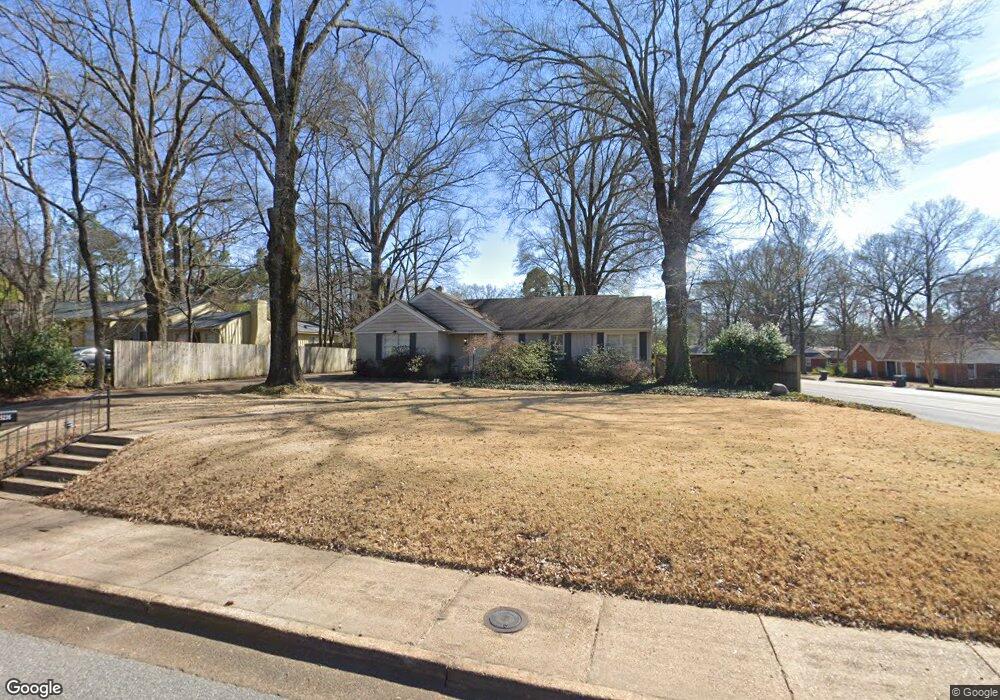
5235 Shady Grove Rd Memphis, TN 38120
Audubon Park NeighborhoodEstimated Value: $338,000 - $418,000
3
Beds
2
Baths
2,159
Sq Ft
$177/Sq Ft
Est. Value
About This Home
This home is located at 5235 Shady Grove Rd, Memphis, TN 38120 and is currently estimated at $383,152, approximately $177 per square foot. 5235 Shady Grove Rd is a home located in Shelby County with nearby schools including White Station Elementary School, White Station High, and White Station Middle.
Ownership History
Date
Name
Owned For
Owner Type
Purchase Details
Closed on
Aug 14, 2000
Sold by
Daniel Rosenthal and Daniel Fruma
Bought by
Tashie Paul S
Current Estimated Value
Purchase Details
Closed on
Sep 26, 1997
Sold by
Patzsch Catherine D
Bought by
Rosenthal Daniel and Rosenthal Fruma
Home Financials for this Owner
Home Financials are based on the most recent Mortgage that was taken out on this home.
Original Mortgage
$129,500
Interest Rate
7.46%
Create a Home Valuation Report for This Property
The Home Valuation Report is an in-depth analysis detailing your home's value as well as a comparison with similar homes in the area
Home Values in the Area
Average Home Value in this Area
Purchase History
| Date | Buyer | Sale Price | Title Company |
|---|---|---|---|
| Tashie Paul S | $160,000 | Southern Escrow Title Co | |
| Rosenthal Daniel | $147,000 | Mid South Title |
Source: Public Records
Mortgage History
| Date | Status | Borrower | Loan Amount |
|---|---|---|---|
| Previous Owner | Rosenthal Daniel | $129,500 |
Source: Public Records
Tax History Compared to Growth
Tax History
| Year | Tax Paid | Tax Assessment Tax Assessment Total Assessment is a certain percentage of the fair market value that is determined by local assessors to be the total taxable value of land and additions on the property. | Land | Improvement |
|---|---|---|---|---|
| 2025 | $2,598 | $94,225 | $41,725 | $52,500 |
| 2024 | $2,598 | $76,650 | $34,425 | $42,225 |
| 2023 | $4,669 | $76,650 | $34,425 | $42,225 |
| 2022 | $4,669 | $76,650 | $34,425 | $42,225 |
| 2021 | $4,724 | $76,650 | $34,425 | $42,225 |
| 2020 | $4,632 | $63,925 | $34,425 | $29,500 |
| 2019 | $4,632 | $63,925 | $34,425 | $29,500 |
| 2018 | $4,632 | $63,925 | $34,425 | $29,500 |
| 2017 | $2,627 | $63,925 | $34,425 | $29,500 |
| 2016 | $2,409 | $55,125 | $0 | $0 |
| 2014 | $2,409 | $55,125 | $0 | $0 |
Source: Public Records
Map
Nearby Homes
- 5280 Cole Rd
- 264 Barry Rd
- 267 Barry Rd
- 5094 Cole Rd
- 380 Greenway Place
- 5264 S Angela Rd
- 5055 Greenway Rd
- 5329 Laurie Ln
- 5157 S Angela Rd
- 5071 Anchor Cove
- 5305 Brantford Ave
- 476 W Racquet Club Place
- 478 W Racquet Club Place
- 5467 Collingwood Cove
- 5188 Gwynne Rd
- 65 Laverne Ln
- 501 W Racquet Club Place
- 50 Grove Creek Place
- 5395 Gwynne Rd
- 5516 Sycamore Grove Ln
- 5245 Shady Grove Rd
- 5253 Shady Grove Rd
- 5217 Shady Grove Rd
- 283 S White Station Rd
- 5234 Cole Rd
- 254 S White Station Rd
- 5244 Cole Rd
- 5265 Shady Grove Rd
- 5254 Shady Grove Rd
- 5250 Cole Rd
- 5216 Cole Rd
- 5205 Shady Grove Rd
- 5264 Shady Grove Rd
- 244 S White Station Rd
- 5260 Cole Rd
- 5277 Shady Grove Rd
- 5200 Cole Rd
- 5272 Shady Grove Rd
- 5193 Shady Grove Rd
- 5255 Collingwood Rd