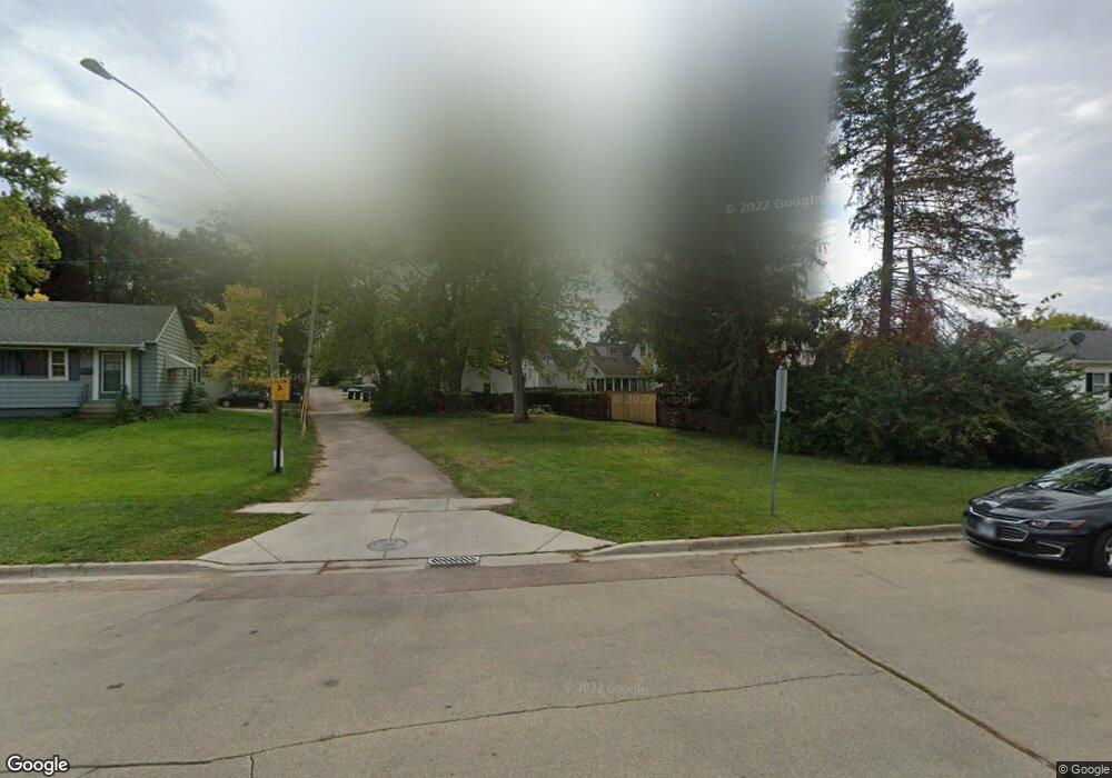
524 Clifford Dr Dekalb, IL 60115
Estimated Value: $227,173
3
Beds
1
Bath
998
Sq Ft
$228/Sq Ft
Est. Value
About This Home
This home is located at 524 Clifford Dr, Dekalb, IL 60115 and is currently estimated at $227,173, approximately $227 per square foot. 524 Clifford Dr is a home located in DeKalb County with nearby schools including Tyler Elementary School, Huntley Middle School, and De Kalb High School.
Ownership History
Date
Name
Owned For
Owner Type
Purchase Details
Closed on
Oct 21, 2020
Sold by
Low Richard C and Low Theresa W
Bought by
De Kalb County and Trust No 14 15 308 004
Current Estimated Value
Purchase Details
Closed on
Oct 1, 2020
Sold by
Benson Clarence
Bought by
County Of De Kalb and Trust No 03 24 351 007
Purchase Details
Closed on
Nov 21, 2017
Sold by
Dekalb County
Bought by
City Of Dekalb
Purchase Details
Closed on
Aug 12, 2005
Sold by
Hallstrom Linda J
Bought by
Szymanski Karl
Home Financials for this Owner
Home Financials are based on the most recent Mortgage that was taken out on this home.
Original Mortgage
$125,800
Interest Rate
8.49%
Mortgage Type
New Conventional
Create a Home Valuation Report for This Property
The Home Valuation Report is an in-depth analysis detailing your home's value as well as a comparison with similar homes in the area
Home Values in the Area
Average Home Value in this Area
Purchase History
| Date | Buyer | Sale Price | Title Company |
|---|---|---|---|
| De Kalb County | -- | Attorney | |
| County Of De Kalb | -- | Attorney | |
| City Of Dekalb | -- | Attorney | |
| Dekalb County | -- | Attorney | |
| Szymanski Karl | $147,000 | -- |
Source: Public Records
Mortgage History
| Date | Status | Borrower | Loan Amount |
|---|---|---|---|
| Previous Owner | Szymanski Karl | $125,800 |
Source: Public Records
Tax History Compared to Growth
Tax History
| Year | Tax Paid | Tax Assessment Tax Assessment Total Assessment is a certain percentage of the fair market value that is determined by local assessors to be the total taxable value of land and additions on the property. | Land | Improvement |
|---|---|---|---|---|
| 2024 | -- | -- | -- | -- |
| 2023 | -- | -- | -- | -- |
| 2022 | -- | $0 | $0 | $0 |
| 2021 | $0 | $0 | $0 | $0 |
| 2020 | $0 | $0 | $0 | $0 |
| 2019 | $0 | $0 | $0 | $0 |
| 2018 | $0 | $0 | $0 | $0 |
| 2017 | $0 | $3 | $2 | $1 |
| 2016 | $3,577 | $28,307 | $5,183 | $23,124 |
| 2015 | -- | $26,821 | $4,911 | $21,910 |
| 2014 | -- | $27,166 | $7,105 | $20,061 |
| 2013 | -- | $28,535 | $7,463 | $21,072 |
Source: Public Records
Map
Nearby Homes
- 340 W Roosevelt St
- 752 Kensington Blvd
- 468 Bush St
- 305 Pearl St
- 610 S 2nd St
- 224 E Garden St
- 141 Park Ave
- 226 W Locust St
- 501 College Ave
- 416 College Ave
- 227 W Locust St
- 223 W Locust St
- 336 College Ave
- 214 College Ave
- 322 College Ave
- 910 Dawn Ct
- 305 College Ave
- 345 Augusta Ave
- 330 Grove St
- 230 Augusta Ave
- 520 Clifford Dr
- 612 Glidden Ave
- 616 Glidden Ave
- 528 Clifford Dr
- 617 Ellwood Ave
- 615 Ellwood Ave
- 624 Glidden Ave
- 619 Ellwood Ave
- 628 Glidden Ave
- 621 Ellwood Ave
- 632 Glidden Ave
- 629 Ellwood Ave
- 623 Ellwood Ave
- 600 Ellwood Ave
- 629 Glidden Ave
- 644 Glidden Ave
- 633 Ellwood Ave
- 610 Ellwood Ave
- 635 Glidden Ave
- 614 Ellwood Ave
