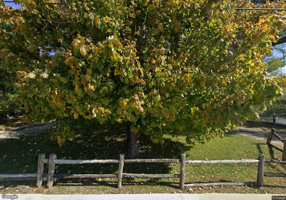
524 N Main St Jamestown, TN 38556
Estimated Value: $159,419 - $247,000
Studio
--
Bath
836
Sq Ft
$250/Sq Ft
Est. Value
About This Home
This home is located at 524 N Main St, Jamestown, TN 38556 and is currently estimated at $208,605, approximately $249 per square foot. 524 N Main St is a home with nearby schools including Cumberland Christian School.
Ownership History
Date
Name
Owned For
Owner Type
Purchase Details
Closed on
Jun 16, 2011
Sold by
Gray Anthony Clark
Bought by
Smith Ryan S and Smith Misty Dawn
Current Estimated Value
Home Financials for this Owner
Home Financials are based on the most recent Mortgage that was taken out on this home.
Original Mortgage
$98,193
Outstanding Balance
$67,448
Interest Rate
4.63%
Mortgage Type
Commercial
Estimated Equity
$141,157
Purchase Details
Closed on
Sep 16, 1999
Bought by
Gray Anthony Clkark and Gray Lorry
Purchase Details
Closed on
Aug 2, 1994
Bought by
Rogers Morley J and Rogers Barbara J
Purchase Details
Closed on
Dec 17, 1990
Bought by
Williams Dewey Mae
Create a Home Valuation Report for This Property
The Home Valuation Report is an in-depth analysis detailing your home's value as well as a comparison with similar homes in the area
Home Values in the Area
Average Home Value in this Area
Purchase History
| Date | Buyer | Sale Price | Title Company |
|---|---|---|---|
| Smith Ryan S | $95,000 | -- | |
| Gray Anthony Clkark | $48,500 | -- | |
| Rogers Morley J | $41,500 | -- | |
| Williams Dewey Mae | $46,500 | -- |
Source: Public Records
Mortgage History
| Date | Status | Borrower | Loan Amount |
|---|---|---|---|
| Open | Smith Ryan S | $98,193 |
Source: Public Records
Tax History Compared to Growth
Tax History
| Year | Tax Paid | Tax Assessment Tax Assessment Total Assessment is a certain percentage of the fair market value that is determined by local assessors to be the total taxable value of land and additions on the property. | Land | Improvement |
|---|---|---|---|---|
| 2025 | -- | $44,800 | $0 | $0 |
| 2024 | -- | $44,800 | $16,250 | $28,550 |
| 2023 | $772 | $44,800 | $16,250 | $28,550 |
| 2022 | $609 | $23,150 | $11,375 | $11,775 |
| 2021 | $609 | $23,150 | $11,375 | $11,775 |
| 2020 | $442 | $23,150 | $11,375 | $11,775 |
| 2019 | $609 | $23,150 | $11,375 | $11,775 |
| 2018 | $609 | $23,150 | $11,375 | $11,775 |
| 2017 | $608 | $22,500 | $11,375 | $11,125 |
| 2016 | $608 | $22,500 | $11,375 | $11,125 |
| 2015 | $608 | $22,491 | $0 | $0 |
| 2014 | $608 | $22,491 | $0 | $0 |
Source: Public Records
Map
Nearby Homes
- 0 Chapman Rd Unit 1287736
- 0 Chapman Rd Unit RTC2900954
- 208 Bills St
- n/a Chapman Rd
- 0 Cliffmont Unit 1326632
- 0 Cliffmont Unit RTC3097676
- 501 Hill Rd
- 201 Taylor Ave
- 0 Holt Spur Dr
- 103 N Duncan St
- n/a White Oak Rd
- 514 Flatt Spur Rd
- 514 Flatt Spur Rd Unit A & B
- 518 Flatt Spur Rd
- 150 Acre Prong of Clear Fork
- 328 Wheeler Ave
- 00 W Central Ave
- 157 Triple j Trail
- 0 Hensley Rd
- 203 Rugby Ave
- 527 N North Main Street St
- 527 N Main St
- 521 N Main St
- 517 N Main St
- 105 East Ln
- 106 W King Ave
- 513 N Main St
- 529 N Main St
- Main N Main St
- - N Main St
- - N Main St
- 0 N Main St
- 531 N Main St
- 531 N Main St
- 0 Highway 127n Unit RTC2828969
- 0 Highway 127n Unit 1176401
- 539 N Main St
- 204 Fairgrounds Rd
- 116 Whited Ave
- 545 S Main St
