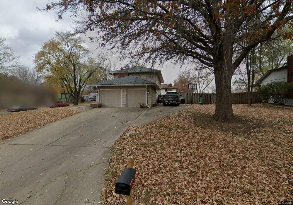
524 Oakbrook Dr Lansing, KS 66043
Estimated Value: $293,000 - $339,000
4
Beds
3
Baths
2,016
Sq Ft
$152/Sq Ft
Est. Value
About This Home
This home is located at 524 Oakbrook Dr, Lansing, KS 66043 and is currently estimated at $306,641, approximately $152 per square foot. 524 Oakbrook Dr is a home located in Leavenworth County with nearby schools including Lansing Elementary School, Lansing Middle 6-8, and Lansing High 9-12.
Ownership History
Date
Name
Owned For
Owner Type
Purchase Details
Closed on
Nov 2, 2011
Sold by
Pierce Jerry W
Bought by
Connel April R
Current Estimated Value
Home Financials for this Owner
Home Financials are based on the most recent Mortgage that was taken out on this home.
Original Mortgage
$161,000
Outstanding Balance
$110,104
Interest Rate
4.08%
Mortgage Type
New Conventional
Estimated Equity
$196,537
Create a Home Valuation Report for This Property
The Home Valuation Report is an in-depth analysis detailing your home's value as well as a comparison with similar homes in the area
Home Values in the Area
Average Home Value in this Area
Purchase History
| Date | Buyer | Sale Price | Title Company |
|---|---|---|---|
| Connel April R | -- | -- |
Source: Public Records
Mortgage History
| Date | Status | Borrower | Loan Amount |
|---|---|---|---|
| Open | Connel April R | $161,000 |
Source: Public Records
Tax History Compared to Growth
Tax History
| Year | Tax Paid | Tax Assessment Tax Assessment Total Assessment is a certain percentage of the fair market value that is determined by local assessors to be the total taxable value of land and additions on the property. | Land | Improvement |
|---|---|---|---|---|
| 2025 | $3,692 | $28,049 | $5,166 | $22,883 |
| 2024 | $3,465 | $27,773 | $4,108 | $23,665 |
| 2023 | $3,465 | $26,869 | $4,108 | $22,761 |
| 2022 | $3,332 | $24,426 | $3,279 | $21,147 |
| 2021 | $3,170 | $22,103 | $3,279 | $18,824 |
| 2020 | $3,031 | $20,804 | $3,279 | $17,525 |
| 2019 | $2,826 | $19,391 | $3,279 | $16,112 |
| 2018 | $2,608 | $17,928 | $2,745 | $15,183 |
| 2017 | $2,461 | $16,898 | $2,745 | $14,153 |
| 2016 | $2,438 | $16,731 | $2,745 | $13,986 |
| 2015 | $2,321 | $15,991 | $2,745 | $13,246 |
| 2014 | $2,205 | $15,525 | $2,745 | $12,780 |
Source: Public Records
Map
Nearby Homes
- 516 Oakbrook Dr
- 205 Bittersweet Ln
- 508 Oakbrook Dr
- 132 Bittersweet Ln
- 200 Bittersweet Ln
- 213 Bittersweet Ln
- 519 Oakbrook Dr
- 511 Oakbrook Dr
- 208 Bittersweet Ln
- 204 Oak Hill St
- 116 Bittersweet Ln
- 500 Oakbrook Dr
- 221 Bittersweet Ln
- 503 Oakbrook Dr
- 210 Oak Hill St
- 111 Brookridge St
- 113 Brookridge St
- 108 Bittersweet Ln
- 516 Ida St
- 109 Brookridge St