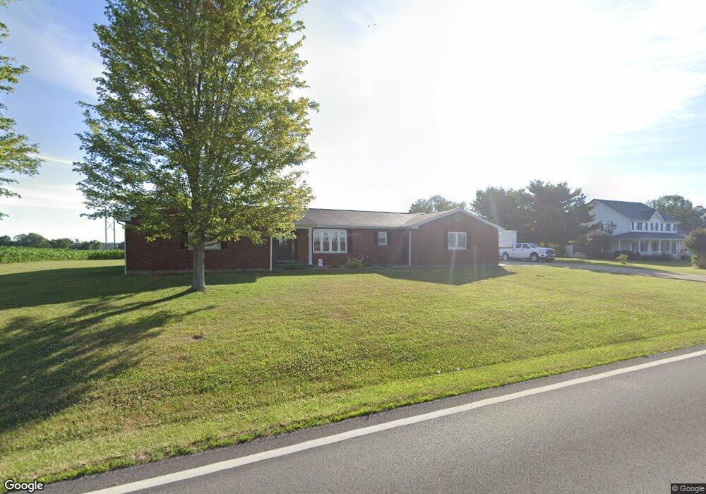
524 State Route 770 Seaman, OH 45679
Estimated Value: $282,956 - $462,000
3
Beds
3
Baths
2,043
Sq Ft
$162/Sq Ft
Est. Value
About This Home
This home is located at 524 State Route 770, Seaman, OH 45679 and is currently estimated at $331,739, approximately $162 per square foot. 524 State Route 770 is a home located in Adams County with nearby schools including North Adams Elementary School and North Adams High School.
Ownership History
Date
Name
Owned For
Owner Type
Purchase Details
Closed on
Dec 28, 2021
Sold by
Shupert Ronnie D and Semple Margaret M
Bought by
Shupert Brent A and Shupert Bethany L
Current Estimated Value
Purchase Details
Closed on
Jan 1, 1990
Bought by
Shupert John T Trustee
Create a Home Valuation Report for This Property
The Home Valuation Report is an in-depth analysis detailing your home's value as well as a comparison with similar homes in the area
Home Values in the Area
Average Home Value in this Area
Purchase History
| Date | Buyer | Sale Price | Title Company |
|---|---|---|---|
| Shupert Brent A | $230,000 | None Available | |
| Shupert John T Trustee | -- | -- |
Source: Public Records
Tax History Compared to Growth
Tax History
| Year | Tax Paid | Tax Assessment Tax Assessment Total Assessment is a certain percentage of the fair market value that is determined by local assessors to be the total taxable value of land and additions on the property. | Land | Improvement |
|---|---|---|---|---|
| 2024 | $1,006 | $57,930 | $3,780 | $54,150 |
| 2023 | $2,025 | $57,930 | $3,780 | $54,150 |
| 2022 | $2,011 | $53,630 | $3,260 | $50,370 |
| 2021 | $1,693 | $53,630 | $3,260 | $50,370 |
| 2020 | $1,729 | $53,630 | $3,260 | $50,370 |
| 2019 | $1,729 | $53,630 | $3,260 | $50,370 |
| 2018 | $1,428 | $46,630 | $2,840 | $43,790 |
| 2017 | $1,405 | $46,630 | $2,840 | $43,790 |
| 2016 | $1,403 | $46,630 | $2,840 | $43,790 |
| 2015 | $1,488 | $50,300 | $3,470 | $46,830 |
| 2014 | $1,489 | $50,300 | $3,470 | $46,830 |
Source: Public Records
Map
Nearby Homes
- 68 Curt Rd
- 113 Columbia St
- 17479 Ohio 247
- ac Ohio 247
- 1.15 ac Ohio 247
- 6514 Tri County Rd
- 0 Tranquility Pike
- 359 Buck Run Rd
- 1143 Dotson Rd
- 332 Silver Ln
- 195 Silver
- 635 Pence Rd
- 288 Graces Run Rd
- 115 Orchard Ave
- 65 Maple Ave
- 4603 Wheat Ridge Rd
- 0 St Rt 136 Unit 1856954
- 215 N East St
- 7 Graces Run Rd
- 19412 Main St
- 555 State Route 770
- 390 State Route 770
- 383 Ohio 770
- 350 State Route 770
- 383 State Route 770
- 345 State Route 770
- 330 State Route 770
- 605 State Route 770
- 333 State Route 770
- 405 State Route 770
- 292 State Route 770
- 313 State Route 770
- 283 State Route 770
- 283 State Route 770
- 283 State Route 770
- 283 State Route 770
- 260 State Route 770
- 265 State Route 770
- 265 St Rt 770
- 232 State Route 770