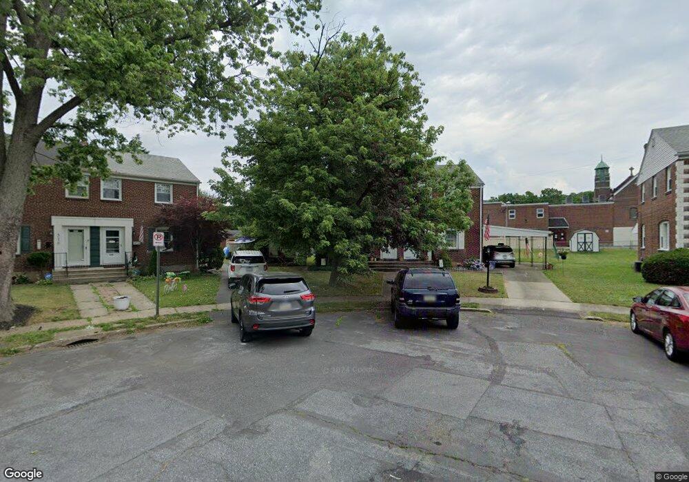
524 Vine St Allentown, PA 18103
Southside NeighborhoodEstimated Value: $246,997 - $253,000
3
Beds
1
Bath
1,080
Sq Ft
$230/Sq Ft
Est. Value
About This Home
This home is located at 524 Vine St, Allentown, PA 18103 and is currently estimated at $248,749, approximately $230 per square foot. 524 Vine St is a home located in Lehigh County with nearby schools including Hiram W Dodd Elementary School, South Mountain Middle School, and Louis E. Dieruff High School.
Ownership History
Date
Name
Owned For
Owner Type
Purchase Details
Closed on
Jul 30, 1998
Sold by
Cronk Ronald A and Cronk Tracy M
Bought by
Shay Kelly Lynn
Current Estimated Value
Purchase Details
Closed on
Sep 29, 1995
Sold by
Dougherty Stephen M and Dougherty Rebekah A
Bought by
Cronk Ronald A and Cronk Tracy M
Purchase Details
Closed on
Sep 25, 1987
Sold by
Monks William M and Haines Luann M
Bought by
Dougherty Stephen M and Dougherty Rebekah A
Purchase Details
Closed on
Mar 31, 1986
Bought by
Monks William M and Haines Luann M
Create a Home Valuation Report for This Property
The Home Valuation Report is an in-depth analysis detailing your home's value as well as a comparison with similar homes in the area
Home Values in the Area
Average Home Value in this Area
Purchase History
| Date | Buyer | Sale Price | Title Company |
|---|---|---|---|
| Shay Kelly Lynn | $72,500 | -- | |
| Cronk Ronald A | $73,500 | -- | |
| Dougherty Stephen M | $62,900 | -- | |
| Monks William M | $49,900 | -- |
Source: Public Records
Tax History Compared to Growth
Tax History
| Year | Tax Paid | Tax Assessment Tax Assessment Total Assessment is a certain percentage of the fair market value that is determined by local assessors to be the total taxable value of land and additions on the property. | Land | Improvement |
|---|---|---|---|---|
| 2025 | $3,126 | $90,600 | $17,200 | $73,400 |
| 2024 | $3,126 | $90,600 | $17,200 | $73,400 |
| 2023 | $3,126 | $90,600 | $17,200 | $73,400 |
| 2022 | $3,022 | $90,600 | $73,400 | $17,200 |
| 2021 | $2,966 | $90,600 | $17,200 | $73,400 |
| 2020 | $2,893 | $90,600 | $17,200 | $73,400 |
| 2019 | $2,849 | $90,600 | $17,200 | $73,400 |
| 2018 | $2,634 | $90,600 | $17,200 | $73,400 |
| 2017 | $2,570 | $90,600 | $17,200 | $73,400 |
| 2016 | -- | $90,600 | $17,200 | $73,400 |
| 2015 | -- | $90,600 | $17,200 | $73,400 |
| 2014 | -- | $90,600 | $17,200 | $73,400 |
Source: Public Records
Map
Nearby Homes
- 566 W Emaus Ave
- 566 588 W Emaus Ave
- 2347 S Law St Unit 2349
- 2416 S Alice St Unit 2418
- 206 208 W Emaus Ave
- 642 W Emaus Ave
- 2401 S Church St
- 2413 S Church St
- 2441 S 4th St
- 1852 S 2nd St
- 1831 S Church St
- 148 W Brookdale St
- 203 W Brookdale St
- 316 W Mountain Rd
- 2429 S Front St
- 2421 S Wood St
- 102 W Brookdale St
- 135 W Wabash St
- 618 Clifford St
- 121 Woodcrest Cir