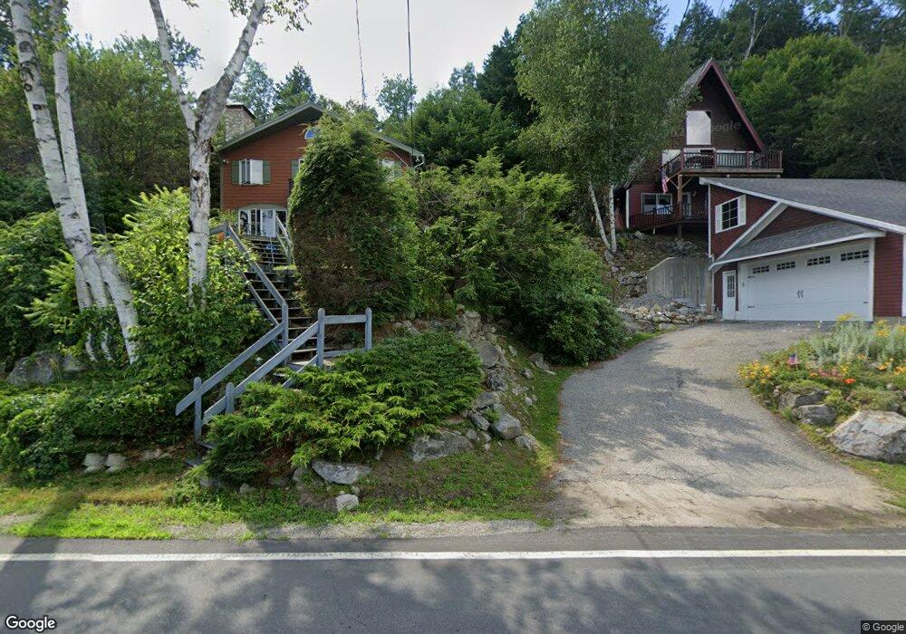
524 W Shore Rd Hebron, NH 03241
Estimated Value: $1,032,000 - $1,301,000
3
Beds
2
Baths
2,912
Sq Ft
$406/Sq Ft
Est. Value
About This Home
This home is located at 524 W Shore Rd, Hebron, NH 03241 and is currently estimated at $1,183,266, approximately $406 per square foot. 524 W Shore Rd is a home located in Grafton County with nearby schools including Bridgewater-Hebron Village School.
Ownership History
Date
Name
Owned For
Owner Type
Purchase Details
Closed on
Aug 16, 2007
Sold by
Macleod Margaret M
Bought by
Tremble Matthew R and Tremble Jane L
Current Estimated Value
Home Financials for this Owner
Home Financials are based on the most recent Mortgage that was taken out on this home.
Original Mortgage
$300,000
Interest Rate
6.67%
Mortgage Type
Purchase Money Mortgage
Create a Home Valuation Report for This Property
The Home Valuation Report is an in-depth analysis detailing your home's value as well as a comparison with similar homes in the area
Home Values in the Area
Average Home Value in this Area
Purchase History
| Date | Buyer | Sale Price | Title Company |
|---|---|---|---|
| Tremble Matthew R | $504,000 | -- |
Source: Public Records
Mortgage History
| Date | Status | Borrower | Loan Amount |
|---|---|---|---|
| Open | Tremble Matthew R | $300,000 | |
| Closed | Tremble Matthew R | $300,000 | |
| Previous Owner | Tremble Matthew R | $100,000 |
Source: Public Records
Tax History Compared to Growth
Tax History
| Year | Tax Paid | Tax Assessment Tax Assessment Total Assessment is a certain percentage of the fair market value that is determined by local assessors to be the total taxable value of land and additions on the property. | Land | Improvement |
|---|---|---|---|---|
| 2024 | $6,068 | $868,100 | $546,200 | $321,900 |
| 2023 | $5,538 | $868,100 | $546,200 | $321,900 |
| 2022 | $5,859 | $857,900 | $546,200 | $311,700 |
| 2021 | $5,594 | $857,900 | $546,200 | $311,700 |
| 2020 | $4,585 | $477,600 | $266,000 | $211,600 |
| 2019 | $4,628 | $477,600 | $266,000 | $211,600 |
| 2018 | $3,993 | $477,600 | $266,000 | $211,600 |
| 2017 | $4,270 | $477,600 | $266,000 | $211,600 |
| 2016 | $3,974 | $477,600 | $266,000 | $211,600 |
| 2015 | $3,748 | $470,800 | $249,900 | $220,900 |
| 2014 | $3,851 | $470,800 | $249,900 | $220,900 |
| 2013 | $3,790 | $470,800 | $249,900 | $220,900 |
Source: Public Records
Map
Nearby Homes
- 497 W Shore Rd
- 00 Ledgewood Cir Unit 7
- 4 Birchwood Dr Unit A
- Lot 26 Skyline Dr
- 0 Skyline Dr Unit 19
- 341 Perkins Hill Rd
- 301 Perkins Hill Rd
- 40 Adams Rd
- 10 Merrill Rd
- 125 Verrill Rd
- 1678 Fowler River Rd
- 383 Wulamat Rd
- 199 Cottage City Rd
- 862 Mayhew Turnpike Unit 1
- 114 Ledgewood Terrace
- 35 Manor Estates Dr Unit 14
- 26 Don Gerry Rd
- 80 Patten Rd
- 431 George Rd
- 94 Mandi Ln
- 522 W Shore Rd
- 528 W Shore Rd
- 530 W Shore Rd
- 516 W Shore Rd
- 534 W Shore Rd
- 997 W Shore Rd
- 510 W Shore Rd
- 995 W Shore Rd
- 496 W Shore Rd
- 998 W Shore Rd
- 983 W Shore Rd Unit 6
- 994 W Shore Rd
- 1000 W Shore Rd
- 992 W Shore Rd
- 8 Soloma Dr
- 990 W Shore Rd
- 988 & 989 W Shore Rd
- 988 W Shore Rd
- 987 W Shore Rd
- 7 Soloma Dr