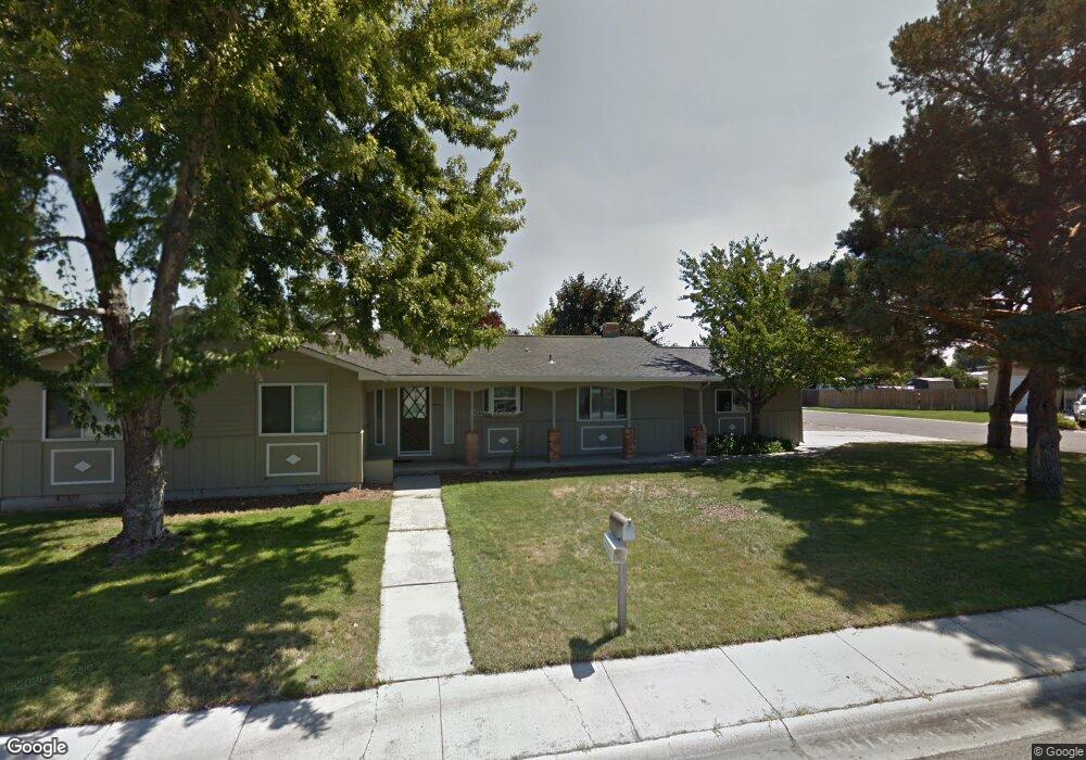
5242 S Latigo Dr Boise, ID 83709
Southwest Boise NeighborhoodEstimated Value: $478,000 - $534,000
3
Beds
2
Baths
1,776
Sq Ft
$279/Sq Ft
Est. Value
About This Home
This home is located at 5242 S Latigo Dr, Boise, ID 83709 and is currently estimated at $496,052, approximately $279 per square foot. 5242 S Latigo Dr is a home located in Ada County with nearby schools including Silver Sage Elementary School, Lake Hazel Middle School, and Mountain View High School.
Ownership History
Date
Name
Owned For
Owner Type
Purchase Details
Closed on
Mar 22, 2001
Sold by
Cornwell James A and Cornwell Linda S
Bought by
Assendrup Lincoln and Lyon Kristen
Current Estimated Value
Home Financials for this Owner
Home Financials are based on the most recent Mortgage that was taken out on this home.
Original Mortgage
$131,511
Outstanding Balance
$47,708
Interest Rate
6.97%
Mortgage Type
FHA
Estimated Equity
$448,344
Purchase Details
Closed on
Jun 5, 1998
Sold by
Arnold Cornwell James and Arnold Sachie Linda
Bought by
Cornwell James A and Cornwell Linda S
Home Financials for this Owner
Home Financials are based on the most recent Mortgage that was taken out on this home.
Original Mortgage
$60,600
Interest Rate
6.81%
Mortgage Type
Purchase Money Mortgage
Create a Home Valuation Report for This Property
The Home Valuation Report is an in-depth analysis detailing your home's value as well as a comparison with similar homes in the area
Home Values in the Area
Average Home Value in this Area
Purchase History
| Date | Buyer | Sale Price | Title Company |
|---|---|---|---|
| Assendrup Lincoln | -- | Alliance Title & Escrow Corp | |
| Cornwell James A | -- | American Land Title Co |
Source: Public Records
Mortgage History
| Date | Status | Borrower | Loan Amount |
|---|---|---|---|
| Open | Assendrup Lincoln | $131,511 | |
| Previous Owner | Cornwell James A | $60,600 |
Source: Public Records
Tax History Compared to Growth
Tax History
| Year | Tax Paid | Tax Assessment Tax Assessment Total Assessment is a certain percentage of the fair market value that is determined by local assessors to be the total taxable value of land and additions on the property. | Land | Improvement |
|---|---|---|---|---|
| 2025 | $1,309 | $463,800 | -- | -- |
| 2024 | $1,273 | $452,300 | -- | -- |
| 2023 | $1,273 | $414,600 | $0 | $0 |
| 2022 | $1,681 | $512,400 | $0 | $0 |
| 2021 | $1,677 | $413,800 | $0 | $0 |
| 2020 | $1,396 | $285,600 | $0 | $0 |
| 2019 | $1,737 | $288,700 | $0 | $0 |
| 2018 | $1,377 | $241,100 | $0 | $0 |
| 2017 | $1,206 | $216,000 | $0 | $0 |
| 2016 | $1,152 | $200,200 | $0 | $0 |
| 2015 | $1,152 | $183,200 | $0 | $0 |
| 2012 | -- | $131,500 | $0 | $0 |
Source: Public Records
Map
Nearby Homes
- 8335 W Grubstake St
- 4735 S Rawhide Ave
- 2959 S Saturn Way
- 7967 W Tillamook Dr
- 9339 W Sageberry Dr
- 4667 S Shawnee Way
- 9303 W Stirrup Dr
- 4444 S Carbine Ave
- 4400 S Carbine Ave
- 9538 W Silverbirch St
- 9212 W Brogan Dr
- 7887 W Orbit Dr
- 6022 S Snowshoe Ave
- 851 S Cole Rd
- 7316 W Ring Perch Dr
- 9173 W Brogan Dr
- 9516 W Portola Dr
- 7134 W Amity Rd
- 5109 S Cheyenne Ave
- 5900 S Sturgeon Way
- 8470 Stetson Dr
- 8470 W Stetson Dr
- 5182 S Latigo Dr
- 5267 S Latigo Dr
- 8503 Stetson Dr
- 5239 S Latigo Dr
- 8469 Stetson Dr
- 5215 S Latigo Dr
- 8436 Stetson Dr
- 5178 S Latigo Dr
- 5303 S Latigo Dr
- 5183 S Latigo Dr
- 5319 S Latigo Dr
- 5148 S Latigo Dr
- 5330 S Latigo Dr
- 5151 S Latigo Dr
- 8435 Stetson Dr
- 8404 Stetson Dr
- 5286 S Choctaw Way
- 5166 S Latigo Dr