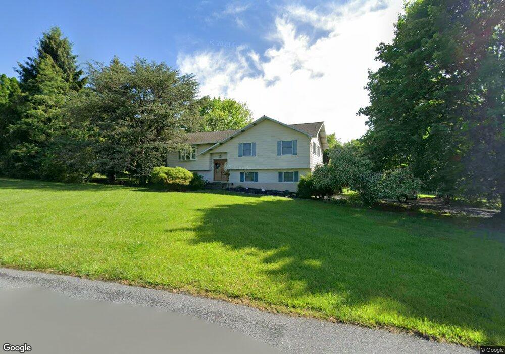
5243 Sickle Rd Emmaus, PA 18049
Upper Milford Township NeighborhoodEstimated Value: $367,117 - $515,000
3
Beds
2
Baths
1,902
Sq Ft
$242/Sq Ft
Est. Value
About This Home
This home is located at 5243 Sickle Rd, Emmaus, PA 18049 and is currently estimated at $459,529, approximately $241 per square foot. 5243 Sickle Rd is a home located in Lehigh County with nearby schools including Lincoln Elementary School, Lower Macungie Middle School, and Emmaus High School.
Ownership History
Date
Name
Owned For
Owner Type
Purchase Details
Closed on
Jun 15, 2007
Sold by
Schenk Keith D
Bought by
Melo Jose C
Current Estimated Value
Home Financials for this Owner
Home Financials are based on the most recent Mortgage that was taken out on this home.
Original Mortgage
$128,000
Outstanding Balance
$78,110
Interest Rate
6.14%
Mortgage Type
New Conventional
Estimated Equity
$381,419
Purchase Details
Closed on
Sep 30, 1999
Sold by
Shilling Donald M and Shilling Belle E
Bought by
Schenk Keith D and Schenk Heather A
Purchase Details
Closed on
Apr 20, 1994
Sold by
Shilling Sr Donald M and Belle Jacobs
Bought by
Shilling Donald M and Shilling Belle E
Purchase Details
Closed on
Apr 17, 1990
Sold by
Belles John J and Belles Deobrah R
Bought by
Shilling Donald M and Belle Jacobs
Purchase Details
Closed on
May 12, 1987
Bought by
Belles John J and Belles Deobrah R
Create a Home Valuation Report for This Property
The Home Valuation Report is an in-depth analysis detailing your home's value as well as a comparison with similar homes in the area
Home Values in the Area
Average Home Value in this Area
Purchase History
| Date | Buyer | Sale Price | Title Company |
|---|---|---|---|
| Melo Jose C | $285,000 | -- | |
| Schenk Keith D | $162,000 | -- | |
| Shilling Donald M | -- | -- | |
| Shilling Donald M | $149,000 | -- | |
| Belles John J | -- | -- |
Source: Public Records
Mortgage History
| Date | Status | Borrower | Loan Amount |
|---|---|---|---|
| Open | Melo Jose C | $128,000 |
Source: Public Records
Tax History Compared to Growth
Tax History
| Year | Tax Paid | Tax Assessment Tax Assessment Total Assessment is a certain percentage of the fair market value that is determined by local assessors to be the total taxable value of land and additions on the property. | Land | Improvement |
|---|---|---|---|---|
| 2025 | $4,807 | $188,300 | $69,300 | $119,000 |
| 2024 | $4,595 | $188,300 | $69,300 | $119,000 |
| 2023 | $4,502 | $188,300 | $69,300 | $119,000 |
| 2022 | $4,394 | $188,300 | $119,000 | $69,300 |
| 2021 | $4,299 | $188,300 | $69,300 | $119,000 |
| 2020 | $4,258 | $188,300 | $69,300 | $119,000 |
| 2019 | $4,231 | $188,300 | $69,300 | $119,000 |
| 2018 | $4,123 | $188,300 | $69,300 | $119,000 |
| 2017 | $4,050 | $188,300 | $69,300 | $119,000 |
| 2016 | -- | $188,300 | $69,300 | $119,000 |
| 2015 | -- | $188,300 | $69,300 | $119,000 |
| 2014 | -- | $188,300 | $69,300 | $119,000 |
Source: Public Records
Map
Nearby Homes
- 2571 Brunner Rd
- 5031 Hunter Ln
- 521 Wood St
- 6173 Rizzuto Way Unit Lot 21
- 6175 Rizzuto Way
- 6175 Rizzuto Way Unit Lot 22
- 97 Chestnut Hill Rd
- 6173 LOT 21 Rizzuto Way
- 340 Chestnut Hill Rd
- 618 Broad St
- 6408 Dekrane Dr
- 659 Broad St
- 339 Delong Ave Unit 343
- 6469 Dekrane Dr Unit 2
- 569 Chestnut St Unit 571
- 657 Walnut St
- 120 N 2nd St
- 543 Long St
- 118 N 2nd St
- 4290 Taviston Ct E
- 5273 Sickle Rd
- 5211 Sickle Rd
- 5202 Sickle Rd
- 5270 Sickle Rd
- 2640 Brunner Rd
- 5311 Sickle Rd
- 5123 Sickle Rd
- 2672 Brunner Rd
- 2651 Sickle Cir
- 2646 Sickle Cir
- 2702 Brunner Rd
- 5160 Sickle Rd
- 2572 Brunner Rd
- 5341 Sickle Rd
- 2752 Brunner Rd
- 2701 Brunner Rd
- 2702 Sickle Cir
- 2514 Brunner Rd
- 2784 Brunner Rd
- 5161 Limeport Rd