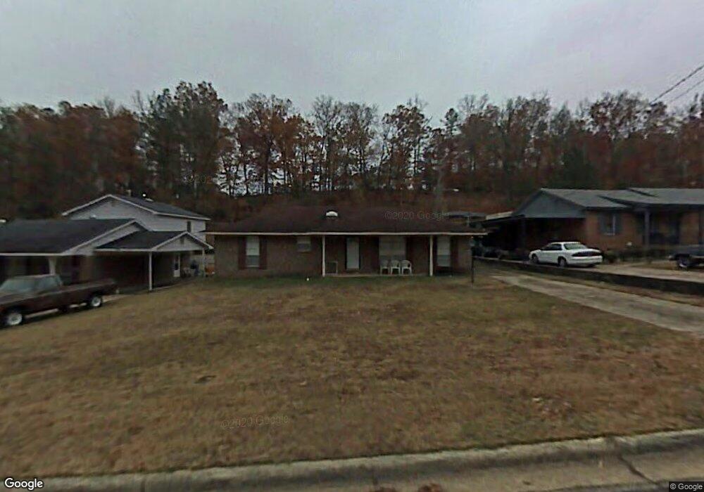
5244 Eisenhower Ave Columbus, GA 31907
Eastern Columbus NeighborhoodEstimated Value: $138,000 - $149,876
3
Beds
3
Baths
1,441
Sq Ft
$101/Sq Ft
Est. Value
About This Home
This home is located at 5244 Eisenhower Ave, Columbus, GA 31907 and is currently estimated at $145,219, approximately $100 per square foot. 5244 Eisenhower Ave is a home located in Muscogee County with nearby schools including Dawson Elementary School, East Columbus Magnet Academy, and Kendrick High School.
Ownership History
Date
Name
Owned For
Owner Type
Purchase Details
Closed on
May 26, 2005
Sold by
King Roosevelt
Bought by
Residential Housing Services Inc
Current Estimated Value
Create a Home Valuation Report for This Property
The Home Valuation Report is an in-depth analysis detailing your home's value as well as a comparison with similar homes in the area
Home Values in the Area
Average Home Value in this Area
Purchase History
| Date | Buyer | Sale Price | Title Company |
|---|---|---|---|
| Residential Housing Services Inc | $7,500 | None Available |
Source: Public Records
Tax History Compared to Growth
Tax History
| Year | Tax Paid | Tax Assessment Tax Assessment Total Assessment is a certain percentage of the fair market value that is determined by local assessors to be the total taxable value of land and additions on the property. | Land | Improvement |
|---|---|---|---|---|
| 2025 | $784 | $44,460 | $10,792 | $33,668 |
| 2024 | $783 | $44,460 | $10,792 | $33,668 |
| 2023 | $94 | $44,460 | $10,792 | $33,668 |
| 2022 | $816 | $32,348 | $10,792 | $21,556 |
| 2021 | $810 | $29,736 | $10,792 | $18,944 |
| 2020 | $810 | $29,736 | $10,792 | $18,944 |
| 2019 | $814 | $29,736 | $10,792 | $18,944 |
| 2018 | $814 | $29,736 | $10,792 | $18,944 |
| 2017 | $819 | $29,736 | $10,792 | $18,944 |
| 2016 | $823 | $33,218 | $4,122 | $29,096 |
| 2015 | $824 | $33,218 | $4,122 | $29,096 |
| 2014 | $826 | $33,218 | $4,122 | $29,096 |
| 2013 | -- | $33,218 | $4,122 | $29,096 |
Source: Public Records
Map
Nearby Homes
- 780 Honey Do Ct
- 4965 Brightstar Ln
- 5234 Saint Marys Rd
- 4408 Walking Stick Way
- 31 R C Allen Dr
- 849 Bunker Hill Rd
- 4201 Valley Crest Dr
- 4939 Aaron Dr
- 906 Bunker Hill Rd
- 300 Jefferson Dr
- 4917 Brightstar Ln
- 4462 Walking Stick Way
- 59 Apollo Dr
- 4930 Capricorn Ct
- 1513 Alamo Dr
- 5336 Gettysburg Way
- 811 Pheasant Loop
- 5219 Argonne Dr
- 100 R C Allen Dr
- 5021 Shirley Ann Dr
- 5300 Eisenhower Ave
- 5238 Eisenhower Ave
- 5232 Eisenhower Ave
- 5306 Eisenhower Ave
- 32 Humphrey Dr
- 5233 Eisenhower Ave
- 5228 Eisenhower Ave
- 5312 Eisenhower Ave
- 5307 Eisenhower Ave
- 5311 Eisenhower Ave
- 35 Humphrey Dr
- 5318 Eisenhower Ave
- 5317 Eisenhower Ave
- 306 Humphrey Dr
- 743 Honey Do Ct
- 5308 Spencer Ln
- 39 Humphrey Dr
- 5324 Eisenhower Ave
- 5314 Spencer Ln
- 5323 Eisenhower Ave