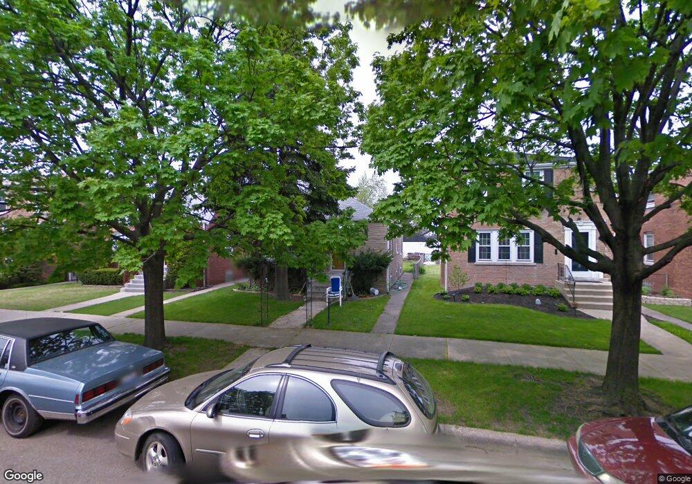
5244 S Mason Ave Chicago, IL 60638
Garfield Ridge NeighborhoodEstimated Value: $259,000 - $345,000
2
Beds
1
Bath
850
Sq Ft
$343/Sq Ft
Est. Value
About This Home
This home is located at 5244 S Mason Ave, Chicago, IL 60638 and is currently estimated at $291,807, approximately $343 per square foot. 5244 S Mason Ave is a home located in Cook County with nearby schools including Twain Elementary School, Kennedy High School, and Gloria Dei Lutheran School.
Ownership History
Date
Name
Owned For
Owner Type
Purchase Details
Closed on
Jun 10, 2015
Sold by
Scotese Joseph Rudolph
Bought by
Scotese Ralph Joseph
Current Estimated Value
Purchase Details
Closed on
May 21, 2015
Sold by
Scotese Christopher Robert
Bought by
Scotese Ralph Joseph
Purchase Details
Closed on
Nov 12, 2008
Sold by
Scotese Mary E
Bought by
Scotese Ralph
Create a Home Valuation Report for This Property
The Home Valuation Report is an in-depth analysis detailing your home's value as well as a comparison with similar homes in the area
Home Values in the Area
Average Home Value in this Area
Purchase History
| Date | Buyer | Sale Price | Title Company |
|---|---|---|---|
| Scotese Ralph Joseph | -- | None Available | |
| Scotese Ralph Joseph | -- | None Available | |
| Scotese Ralph Joseph | -- | None Available | |
| Scotese Ralph Joseph | -- | None Available | |
| Scotese Ralph Joseph | -- | None Available | |
| Scotese Ralph | -- | None Available |
Source: Public Records
Tax History Compared to Growth
Tax History
| Year | Tax Paid | Tax Assessment Tax Assessment Total Assessment is a certain percentage of the fair market value that is determined by local assessors to be the total taxable value of land and additions on the property. | Land | Improvement |
|---|---|---|---|---|
| 2024 | $4,176 | $26,000 | $5,775 | $20,225 |
| 2023 | $4,050 | $23,000 | $5,156 | $17,844 |
| 2022 | $4,050 | $23,000 | $5,156 | $17,844 |
| 2021 | $3,955 | $22,999 | $5,156 | $17,843 |
| 2020 | $3,345 | $18,020 | $4,125 | $13,895 |
| 2019 | $3,355 | $20,023 | $4,125 | $15,898 |
| 2018 | $3,298 | $20,023 | $4,125 | $15,898 |
| 2017 | $3,410 | $15,737 | $3,712 | $12,025 |
| 2016 | $3,173 | $15,737 | $3,712 | $12,025 |
| 2015 | $2,905 | $15,737 | $3,712 | $12,025 |
| 2014 | $2,844 | $15,211 | $3,506 | $11,705 |
| 2013 | $2,789 | $15,211 | $3,506 | $11,705 |
Source: Public Records
Map
Nearby Homes
- 5245 S Mayfield Ave
- 5128 S Meade Ave
- 5108 S Massasoit Ave
- 5417 S Melvina Ave Unit 102
- 5141 S Merrimac Ave
- 5253 S Mobile Ave
- 5533 S Menard Ave
- 5127 S Parkside Ave
- 5118 S Mobile Ave
- 5611 S Monitor Ave
- 5712 W 56th St
- 5121 S Central Ave
- 5421 S Mulligan Ave
- 5142 S Mulligan Ave
- 6340 S Archer Ave
- 5621 S Moody Ave
- 5248 S Narragansett Ave
- 5107 S Luna Ave
- 5700 S Monitor Ave
- 5053 S Luna Ave
- 5240 S Mason Ave
- 5236 S Mason Ave
- 5234 S Mason Ave
- 5246 S Mason Ave
- 5230 S Mason Ave
- 5250 S Mason Ave
- 5256 S Mason Ave
- 5226 S Mason Ave
- 5241 S Austin Ave
- 5237 S Austin Ave
- 5247 S Austin Ave
- 5235 S Austin Ave
- 5249 S Austin Ave
- 5258 S Mason Ave
- 5222 S Mason Ave
- 5231 S Austin Ave
- 5241 S Mason Ave
- 5237 S Mason Ave
- 5245 S Mason Ave
- 5235 S Mason Ave