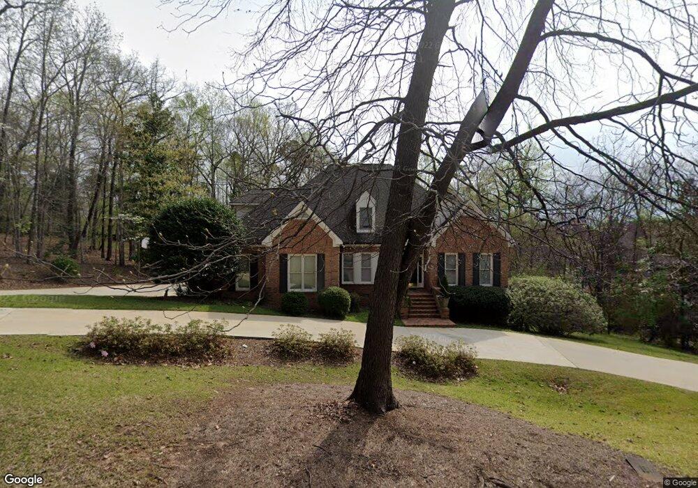
5245 Brandywine Dr Macon, GA 31210
Estimated Value: $493,427 - $558,000
5
Beds
5
Baths
3,714
Sq Ft
$142/Sq Ft
Est. Value
About This Home
This home is located at 5245 Brandywine Dr, Macon, GA 31210 and is currently estimated at $525,607, approximately $141 per square foot. 5245 Brandywine Dr is a home located in Bibb County with nearby schools including Carter Elementary School, Howard Middle School, and Howard High School.
Ownership History
Date
Name
Owned For
Owner Type
Purchase Details
Closed on
Jun 10, 2005
Bought by
Parel Robert J and Parel Kathryn
Current Estimated Value
Home Financials for this Owner
Home Financials are based on the most recent Mortgage that was taken out on this home.
Original Mortgage
$300,000
Outstanding Balance
$153,907
Interest Rate
5.69%
Mortgage Type
New Conventional
Estimated Equity
$371,700
Purchase Details
Closed on
Jun 26, 2003
Purchase Details
Closed on
Jan 15, 2003
Create a Home Valuation Report for This Property
The Home Valuation Report is an in-depth analysis detailing your home's value as well as a comparison with similar homes in the area
Purchase History
| Date | Buyer | Sale Price | Title Company |
|---|---|---|---|
| Parel Robert J | $375,000 | -- | |
| Parel Ii Robert J | -- | None Avelable | |
| -- | $340,000 | -- | |
| -- | $325,000 | -- |
Source: Public Records
Mortgage History
| Date | Status | Borrower | Loan Amount |
|---|---|---|---|
| Open | Parel Ii Robert J | $300,000 |
Source: Public Records
Tax History
| Year | Tax Paid | Tax Assessment Tax Assessment Total Assessment is a certain percentage of the fair market value that is determined by local assessors to be the total taxable value of land and additions on the property. | Land | Improvement |
|---|---|---|---|---|
| 2025 | $3,607 | $153,800 | $11,700 | $142,100 |
| 2024 | $3,728 | $153,800 | $11,700 | $142,100 |
| 2023 | $4,348 | $153,800 | $11,700 | $142,100 |
| 2022 | $5,003 | $151,521 | $11,751 | $139,770 |
| 2021 | $5,136 | $142,162 | $10,683 | $131,479 |
| 2020 | $4,742 | $129,132 | $10,683 | $118,449 |
| 2019 | $4,781 | $129,132 | $10,683 | $118,449 |
| 2018 | $7,502 | $129,132 | $10,683 | $118,449 |
| 2017 | $4,576 | $129,132 | $10,683 | $118,449 |
| 2016 | $4,225 | $129,132 | $10,683 | $118,449 |
| 2015 | $5,981 | $129,132 | $10,683 | $118,449 |
| 2014 | $7,201 | $133,945 | $15,496 | $118,449 |
Source: Public Records
Map
Nearby Homes
- 5252 Brandywine Dr
- 764 Kings Mountain Rd
- 658 Tucker Rd
- 903 Tucker Rd
- 112 Covington Place
- 4978 Wellington Dr
- 230 Carriage Trail
- 973 Fieldstone Dr
- 4922 Brittany Dr
- 5056 Wellington Dr
- 4860 Forsyth Rd
- 117 Legare Ct
- 4716 Moor Park
- 5181 Zebulon Rd
- 150 Tucker Rd
- 4697 Brae Burn Ln
- 520 Old Club Rd S
- 428 Wesleyan Dr
- 4939 Guerry Dr
- 120 Idle Hour Dr
- 685 Richmond Hill Dr
- 5261 Brandywine Dr
- 665 Richmond Hill Dr
- 673 Richmond Hill Dr
- 661 Richmond Hill Dr
- 5240 Brandywine Dr
- 5297 Brandywine Dr
- 5264 Brandywine Dr
- 698 Richmond Hill Dr
- 655 Richmond Hill Dr
- 5228 Brandywine Dr
- 670 Richmond Hill Dr
- 650 Richmond Hill Dr
- 678 Richmond Hill Dr
- 678 Richmond Hill Ct
- 5216 Brandywine Dr
- 5280 Brandywine Dr
- 772 Kings Mountain Rd
- 772 Kings Mountain Rd Unit 4
- 690 Richmond Hill Ct
Your Personal Tour Guide
Ask me questions while you tour the home.