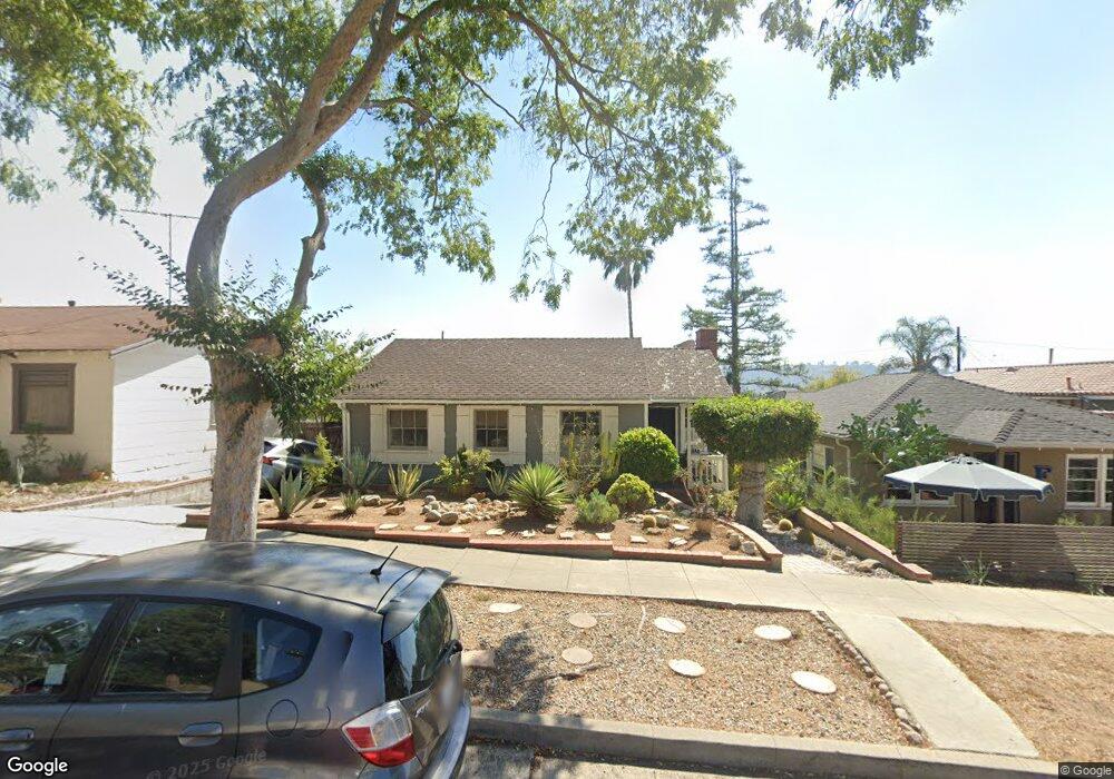
5246 Coringa Dr Los Angeles, CA 90042
Highland Park NeighborhoodEstimated Value: $1,024,661 - $1,143,000
2
Beds
1
Bath
1,116
Sq Ft
$979/Sq Ft
Est. Value
About This Home
This home is located at 5246 Coringa Dr, Los Angeles, CA 90042 and is currently estimated at $1,092,165, approximately $978 per square foot. 5246 Coringa Dr is a home located in Los Angeles County with nearby schools including Buchanan Street Elementary and Franklin Middle School & High School.
Ownership History
Date
Name
Owned For
Owner Type
Purchase Details
Closed on
Feb 15, 1994
Sold by
Schlichting Robert C and Reifsnider Elizabeth G
Bought by
Cobarrubias Robert
Current Estimated Value
Home Financials for this Owner
Home Financials are based on the most recent Mortgage that was taken out on this home.
Original Mortgage
$162,000
Interest Rate
3.87%
Create a Home Valuation Report for This Property
The Home Valuation Report is an in-depth analysis detailing your home's value as well as a comparison with similar homes in the area
Home Values in the Area
Average Home Value in this Area
Purchase History
| Date | Buyer | Sale Price | Title Company |
|---|---|---|---|
| Cobarrubias Robert | $180,000 | Guardian Title Company |
Source: Public Records
Mortgage History
| Date | Status | Borrower | Loan Amount |
|---|---|---|---|
| Previous Owner | Cobarrubias Robert | $162,000 |
Source: Public Records
Tax History
| Year | Tax Paid | Tax Assessment Tax Assessment Total Assessment is a certain percentage of the fair market value that is determined by local assessors to be the total taxable value of land and additions on the property. | Land | Improvement |
|---|---|---|---|---|
| 2025 | $3,803 | $305,908 | $169,270 | $136,638 |
| 2024 | $3,734 | $299,910 | $165,951 | $133,959 |
| 2023 | $3,663 | $294,031 | $162,698 | $131,333 |
| 2022 | $3,493 | $288,266 | $159,508 | $128,758 |
| 2021 | $3,445 | $282,615 | $156,381 | $126,234 |
| 2020 | $3,476 | $279,718 | $154,778 | $124,940 |
| 2019 | $3,341 | $274,235 | $151,744 | $122,491 |
| 2018 | $3,278 | $268,859 | $148,769 | $120,090 |
| 2016 | $3,122 | $258,421 | $142,993 | $115,428 |
| 2015 | $3,076 | $254,541 | $140,846 | $113,695 |
| 2014 | $3,093 | $249,556 | $138,088 | $111,468 |
Source: Public Records
Map
Nearby Homes
- 5240 Barker Dr
- 5218 Barker Dr
- 1813 N Avenue 55
- 1817 N Avenue 55
- 1932 Phillips Way
- 1835 N Avenue 55
- 1942 Phillips Way
- 1938 Phillips Way
- 5007 Almaden Dr
- 5618 Tehama St
- 1393 N Avenue 57
- 5681 Fallston St
- 1333 Wildwood Dr
- 4920 Stratford Rd
- 5606 E Alloway Ct
- 5144 Buchanan St
- 4631 4637 Loleta Place
- 1018 N Avenue 54
- 5001 Buchanan St
- 1523 Highgate Ave
- 5242 Coringa Dr
- 1749 Phillips Way
- 5238 Coringa Dr
- 1753 Phillips Way
- 1743 Phillips Way
- 5234 Coringa Dr
- 5219 Almaden Dr
- 1739 Phillips Way
- 5215 Almaden Dr
- 5211 Almaden Dr
- 5211 Almaden Dr
- 1811 Phillips Way
- 5230 Coringa Dr
- 5205 Almaden Dr
- 1731 Phillips Way
- 1733 Phillips Way
- 5226 Coringa Dr
- 5203 Almaden Dr
- 1802 Phillips Way
- 5235 Coringa Dr
Your Personal Tour Guide
Ask me questions while you tour the home.