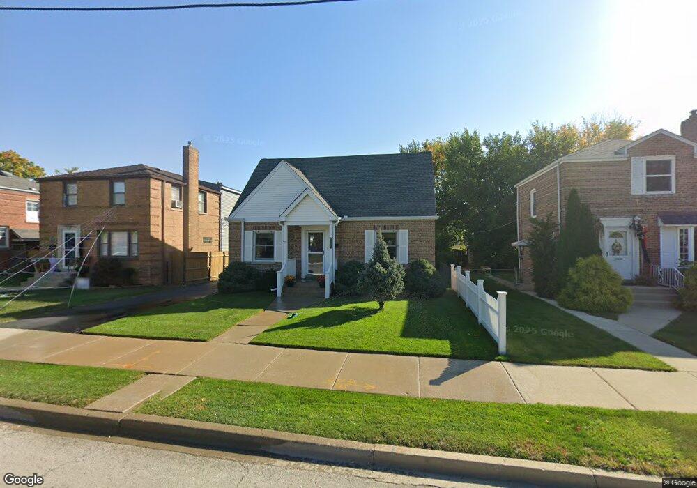
5249 N Canfield Ave Chicago, IL 60656
Norwood Park NeighborhoodEstimated Value: $396,000 - $488,378
4
Beds
3
Baths
1,290
Sq Ft
$346/Sq Ft
Est. Value
About This Home
This home is located at 5249 N Canfield Ave, Chicago, IL 60656 and is currently estimated at $446,845, approximately $346 per square foot. 5249 N Canfield Ave is a home located in Cook County with nearby schools including Oriole Park Elementary School, Taft High School, and St Eugene School.
Ownership History
Date
Name
Owned For
Owner Type
Purchase Details
Closed on
Jul 1, 1999
Sold by
Whitman Robert J and Whitman Penelope K
Bought by
Noble Sean P and Mcdermott Mary T
Current Estimated Value
Home Financials for this Owner
Home Financials are based on the most recent Mortgage that was taken out on this home.
Original Mortgage
$162,400
Outstanding Balance
$45,921
Interest Rate
7.68%
Estimated Equity
$400,924
Create a Home Valuation Report for This Property
The Home Valuation Report is an in-depth analysis detailing your home's value as well as a comparison with similar homes in the area
Home Values in the Area
Average Home Value in this Area
Purchase History
| Date | Buyer | Sale Price | Title Company |
|---|---|---|---|
| Noble Sean P | $203,000 | -- |
Source: Public Records
Mortgage History
| Date | Status | Borrower | Loan Amount |
|---|---|---|---|
| Open | Noble Sean P | $162,400 |
Source: Public Records
Tax History Compared to Growth
Tax History
| Year | Tax Paid | Tax Assessment Tax Assessment Total Assessment is a certain percentage of the fair market value that is determined by local assessors to be the total taxable value of land and additions on the property. | Land | Improvement |
|---|---|---|---|---|
| 2024 | $6,685 | $38,001 | $14,063 | $23,938 |
| 2023 | $6,495 | $35,000 | $11,250 | $23,750 |
| 2022 | $6,495 | $35,000 | $11,250 | $23,750 |
| 2021 | $6,369 | $35,000 | $11,250 | $23,750 |
| 2020 | $5,714 | $28,753 | $7,031 | $21,722 |
| 2019 | $5,659 | $31,597 | $7,031 | $24,566 |
| 2018 | $5,563 | $31,597 | $7,031 | $24,566 |
| 2017 | $5,443 | $28,660 | $6,187 | $22,473 |
| 2016 | $5,240 | $28,660 | $6,187 | $22,473 |
| 2015 | $5,048 | $30,169 | $6,187 | $23,982 |
| 2014 | $4,575 | $27,224 | $5,625 | $21,599 |
| 2013 | $4,473 | $27,224 | $5,625 | $21,599 |
Source: Public Records
Map
Nearby Homes
- 7809 W Farragut Ave
- 7805 W Farragut Ave
- 7817 W Balmoral Ave
- 5161 N Moreland Ave
- 5134 N Mission Dr
- 8021 W Rascher Ave
- 8024 W Charmaine Rd
- 4937 N Ozanam Ave
- 7511 W Foster Ave
- 7636 W Strong St
- 5605 N Overhill Ave
- 7632 W Norridge St
- 8231 W Balmoral Ave
- 7501 W Winnemac Ave
- 7641 W Ainslie St
- 7519 W Argyle St
- 4846 N Crescent Ave
- 7502 W Strong St
- 7754 W Higgins Rd Unit J
- 7650 W Lawrence Ave Unit 201
- 5245 N Canfield Ave
- 5253 N Canfield Ave
- 5241 N Canfield Ave
- 5257 N Canfield Ave
- 7847 W Berwyn Ave
- 5237 N Canfield Ave
- 7848 W Farragut Ave
- 7844 W Farragut Ave
- 7843 W Berwyn Ave
- 7840 W Farragut Ave
- 7911 W Berwyn Ave
- 7912 W Berwyn Ave
- 7839 W Berwyn Ave
- 5301 N Canfield Ave
- 7836 W Farragut Ave
- 5223 N Canfield Ave
- 5307 N Canfield Ave
- 7920 W Berwyn Ave
- 7921 W Berwyn Ave
- 7832 W Farragut Ave