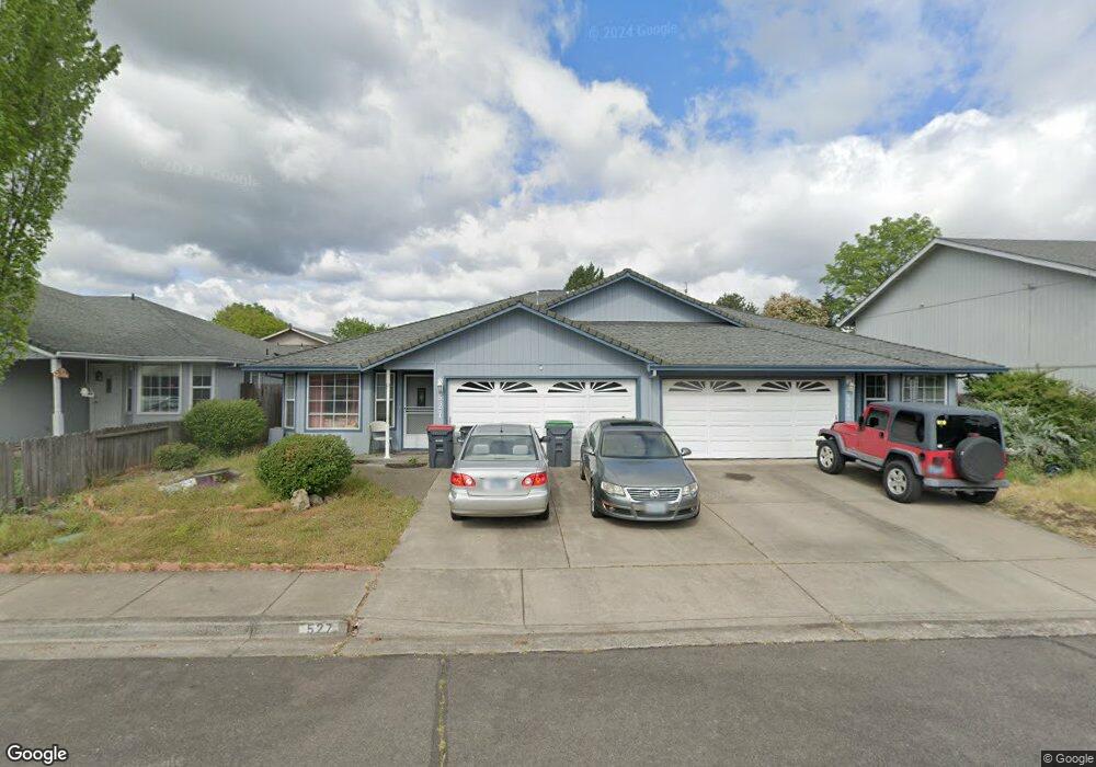
525 Countryside Dr Central Point, OR 97502
Estimated Value: $440,333 - $520,000
4
Beds
4
Baths
2,404
Sq Ft
$200/Sq Ft
Est. Value
About This Home
This home is located at 525 Countryside Dr, Central Point, OR 97502 and is currently estimated at $480,833, approximately $200 per square foot. 525 Countryside Dr is a home located in Jackson County with nearby schools including Central Point Elementary School, Scenic Middle School, and Crater High School.
Ownership History
Date
Name
Owned For
Owner Type
Purchase Details
Closed on
Apr 19, 2022
Sold by
Deluca Revocable Trust and Deluca Ronald L
Bought by
Deluca Revocable Trust and Deluca
Current Estimated Value
Purchase Details
Closed on
Apr 15, 2021
Sold by
Mcgarry Leonard and Mcgarry Debra
Bought by
Deluca Ronald L and Ronald L Deluca Revocable Trus
Create a Home Valuation Report for This Property
The Home Valuation Report is an in-depth analysis detailing your home's value as well as a comparison with similar homes in the area
Home Values in the Area
Average Home Value in this Area
Purchase History
| Date | Buyer | Sale Price | Title Company |
|---|---|---|---|
| Deluca Revocable Trust | -- | Amerititle | |
| Deluca Ronald L | $404,000 | Amerititle |
Source: Public Records
Tax History Compared to Growth
Tax History
| Year | Tax Paid | Tax Assessment Tax Assessment Total Assessment is a certain percentage of the fair market value that is determined by local assessors to be the total taxable value of land and additions on the property. | Land | Improvement |
|---|---|---|---|---|
| 2025 | $4,496 | $270,430 | $70,010 | $200,420 |
| 2024 | $4,496 | $262,560 | $67,970 | $194,590 |
| 2023 | $4,352 | $254,920 | $65,990 | $188,930 |
| 2022 | $4,250 | $254,920 | $65,990 | $188,930 |
| 2021 | $4,129 | $247,500 | $64,070 | $183,430 |
| 2020 | $4,008 | $240,300 | $62,200 | $178,100 |
| 2019 | $3,910 | $226,520 | $58,630 | $167,890 |
| 2018 | $3,790 | $219,930 | $56,920 | $163,010 |
| 2017 | $3,695 | $219,930 | $56,920 | $163,010 |
| 2016 | $3,588 | $207,320 | $53,640 | $153,680 |
| 2015 | $3,437 | $207,320 | $53,640 | $153,680 |
| 2014 | $3,350 | $195,430 | $50,560 | $144,870 |
Source: Public Records
Map
Nearby Homes
- 571 Briarwood Dr
- 851 Juanita Way
- 928 Brandi Way
- 555 Freeman Rd Unit 128
- 555 Freeman Rd Unit 146
- 555 Freeman Rd Unit 105
- 555 Freeman Rd Unit 204
- 555 Freeman Rd Unit 209
- 921 Pittview Ave
- 301 Freeman Rd Unit 100
- 301 Freeman Rd Unit 23
- 301 Freeman Rd Unit 85
- 3364 Bursell Rd
- 1060 Hopkins Rd
- 840 Ash St
- 1017 Fairfield Ave
- 755 S 4th St
- 3358 Bursell Rd
- 1025 Fairfield Ave
- 1065 Edwina Ave
- 531 Countryside Dr
- 532 Briarwood Dr Unit 2
- 532 Briarwood Dr
- 542 Briarwood Dr Unit 544
- 501 Countryside Dr
- 522 Countryside Dr
- 522 Briarwood Dr
- 532 Countryside Dr Unit 534
- 561 Countryside Dr
- 512 Countryside 514 Dr
- 512 Countryside Dr
- 562 Briarwood Dr
- 542 Countryside Dr
- 544 Countryside Dr
- 0 Briarwood Dr
- 52224 Briarwood Dr
- 0 561 563 565 567 Briarwo Unit 7624035-11375221
- 780 Columbine Way
- 782 Columbine Way
- 0 Countryside Dr