525 County Road 297 Gainesville, TX 76240
Estimated Value: $558,000 - $1,048,000
4
Beds
2
Baths
2,117
Sq Ft
$353/Sq Ft
Est. Value
About This Home
This home is located at 525 County Road 297, Gainesville, TX 76240 and is currently estimated at $747,697, approximately $353 per square foot. 525 County Road 297 is a home located in Cooke County with nearby schools including Callisburg Elementary School, Callisburg Middle School, and Callisburg High School.
Ownership History
Date
Name
Owned For
Owner Type
Purchase Details
Closed on
May 13, 2016
Sold by
Carter Michael and Carter Michelle Renee
Bought by
Dwyer Roline Jeffrey Joseph and Dwyer Roline Carla
Current Estimated Value
Purchase Details
Closed on
Jun 17, 2013
Sold by
Pearce Hillis John
Bought by
Carter Michael and Carter Michelle Renee
Home Financials for this Owner
Home Financials are based on the most recent Mortgage that was taken out on this home.
Original Mortgage
$78,625
Interest Rate
4.87%
Mortgage Type
Adjustable Rate Mortgage/ARM
Create a Home Valuation Report for This Property
The Home Valuation Report is an in-depth analysis detailing your home's value as well as a comparison with similar homes in the area
Home Values in the Area
Average Home Value in this Area
Purchase History
| Date | Buyer | Sale Price | Title Company |
|---|---|---|---|
| Dwyer Roline Jeffrey Joseph | -- | None Available | |
| Carter Michael | -- | None Available |
Source: Public Records
Mortgage History
| Date | Status | Borrower | Loan Amount |
|---|---|---|---|
| Previous Owner | Carter Michael | $78,625 |
Source: Public Records
Tax History Compared to Growth
Tax History
| Year | Tax Paid | Tax Assessment Tax Assessment Total Assessment is a certain percentage of the fair market value that is determined by local assessors to be the total taxable value of land and additions on the property. | Land | Improvement |
|---|---|---|---|---|
| 2025 | $5,812 | $619,359 | $247,224 | $372,135 |
| 2024 | $5,812 | $601,012 | $0 | $0 |
| 2023 | $7,126 | $558,123 | $0 | $0 |
| 2022 | $7,785 | $554,834 | $234,897 | $319,937 |
| 2021 | $7,513 | $410,839 | $136,979 | $273,860 |
| 2020 | $7,513 | $385,479 | $136,979 | $248,500 |
| 2019 | $6,395 | $328,243 | $85,780 | $242,463 |
| 2018 | $5,878 | $300,075 | $75,803 | $224,272 |
| 2017 | $5,725 | $289,577 | $73,803 | $215,774 |
| 2015 | $1,761 | $236,728 | $73,803 | $162,925 |
| 2014 | $1,761 | $91,432 | $71,803 | $19,629 |
Source: Public Records
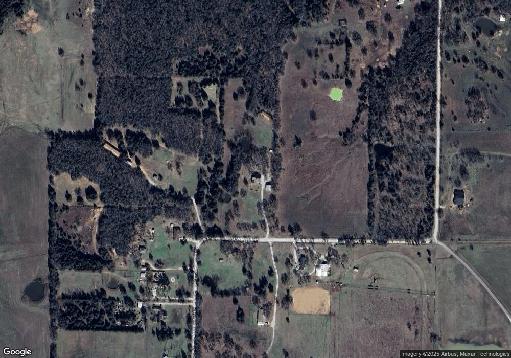
Map
Nearby Homes
- Lot 9 County Road 297
- Lot 6 County Road 297
- Lot 3 County Road 297
- Lot 5 County Road 297
- 460 County Road 2184
- 1337 County Road 211
- 329 Comanche Dr
- 143 Mohave Dr E
- 1125 Kiowa Dr E
- 1321 Kiowa Dr E
- 672 County Road 155
- 1229 Kiowa Dr E
- 1214 Kiowa Dr E
- 122 Comanche Dr
- 1107 Kiowa Dr E
- 200 Cayuga Trail
- 111 Bowie Dr
- 103 Bowie Dr
- 102 Bowie Cove
- 1696 County Road 222
- 494 County Road 297
- 558 County Road 297
- 407 County Road 297
- 439 County Road 297
- 783 County Road 297
- 371 County Road 297
- 457 County Road 297
- 353 County Road 297
- 550 County Road 297
- 6109 County Rd 297
- 299 County Road 297
- 1003 County Road 297
- 73 County Road 297
- 59 County Road 297
- 2645 Fm 3164
- 134 County Road 299
- TBD County Road 297
- TBD 2.4 acres County Road 297
- TBD 2.5 acres County Road 297
- 106 County Road 299