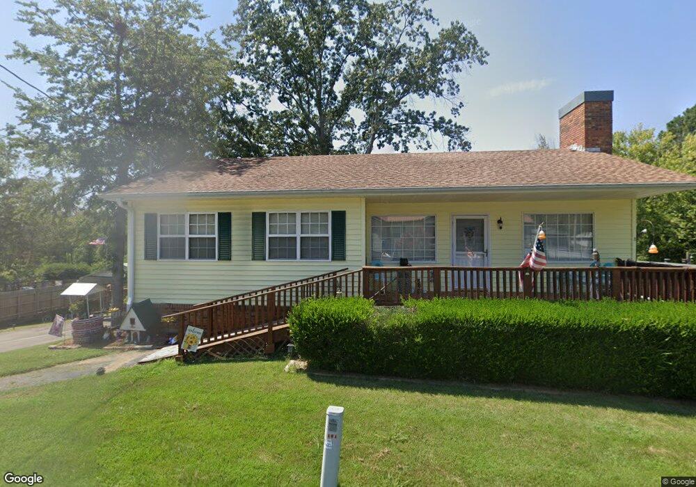
525 Mansard Island Dr Springville, TN 38256
Estimated Value: $191,000 - $253,000
--
Bed
3
Baths
1,140
Sq Ft
$196/Sq Ft
Est. Value
About This Home
This home is located at 525 Mansard Island Dr, Springville, TN 38256 and is currently estimated at $223,390, approximately $195 per square foot. 525 Mansard Island Dr is a home located in Henry County.
Ownership History
Date
Name
Owned For
Owner Type
Purchase Details
Closed on
Apr 4, 2023
Sold by
Jones William Aulden
Bought by
Thompson Deborah Sue
Current Estimated Value
Purchase Details
Closed on
Oct 31, 1987
Bought by
Jones William A and Jones Dorothy M
Purchase Details
Closed on
Mar 18, 1987
Bought by
H & B Properties
Purchase Details
Closed on
Jan 23, 1987
Purchase Details
Closed on
Jul 2, 1985
Bought by
Lankford Clarence M and Lankford Claire
Create a Home Valuation Report for This Property
The Home Valuation Report is an in-depth analysis detailing your home's value as well as a comparison with similar homes in the area
Home Values in the Area
Average Home Value in this Area
Purchase History
| Date | Buyer | Sale Price | Title Company |
|---|---|---|---|
| Thompson Deborah Sue | -- | None Listed On Document | |
| Jones William A | $72,200 | -- | |
| H & B Properties | $5,100 | -- | |
| -- | $5,000 | -- | |
| Lankford Clarence M | -- | -- |
Source: Public Records
Tax History Compared to Growth
Tax History
| Year | Tax Paid | Tax Assessment Tax Assessment Total Assessment is a certain percentage of the fair market value that is determined by local assessors to be the total taxable value of land and additions on the property. | Land | Improvement |
|---|---|---|---|---|
| 2024 | $552 | $28,550 | $4,500 | $24,050 |
| 2023 | $519 | $28,550 | $4,500 | $24,050 |
| 2022 | $519 | $27,425 | $4,500 | $22,925 |
| 2021 | $519 | $27,425 | $4,500 | $22,925 |
| 2020 | $519 | $27,425 | $4,500 | $22,925 |
| 2019 | $535 | $25,575 | $4,500 | $21,075 |
| 2018 | $535 | $25,575 | $4,500 | $21,075 |
| 2017 | $535 | $25,575 | $4,500 | $21,075 |
| 2016 | $527 | $25,575 | $4,500 | $21,075 |
| 2015 | $562 | $25,575 | $4,500 | $21,075 |
| 2014 | $527 | $25,575 | $4,500 | $21,075 |
| 2013 | $527 | $23,974 | $0 | $0 |
Source: Public Records
Map
Nearby Homes
- 620 Mansard Island Dr
- 640 Mansard Island Dr
- 125 Sullivan Dr
- 369 Holiday Acres Dr
- 160 Oden Dr
- 45 Walker Rd
- 00 Lake Dr
- 102 Gibson Dr
- 291 Crattie Dr
- 55 Sumerfield Dr
- 0000 Summerfield Dr
- 160 Trailer Rd
- 172 Hillview Ct
- 428 Pineview Dr
- 00 Russwood Dr
- 238 Russwood Dr
- 533 Russwood Dr
- 90 Links Bend Way
- 485 Russwood Dr
- lot 44 Links Bend Way
- 535 Mansard Island Dr
- 545 Mansard Island Dr
- 75 Blackburn Dr
- 240 Sullivan Dr
- 480 Mansard Island Dr
- 220 Sullivan Dr
- 575 Mansard Island Dr
- 280 Sullivan Dr
- 460 Mansard Island Dr
- 45 Tays Dr
- 35 Blackburn Dr
- 300 Sullivan Dr
- 63 Tays Dr
- 440 Mansard Island Dr
- 170 Sullivan Dr
- 600 Mansard Island Dr
- 330 Sullivan Dr
- 0 Mansard Island Dr
- 32 Tays Dr
- 250 Antioch Cove Rd