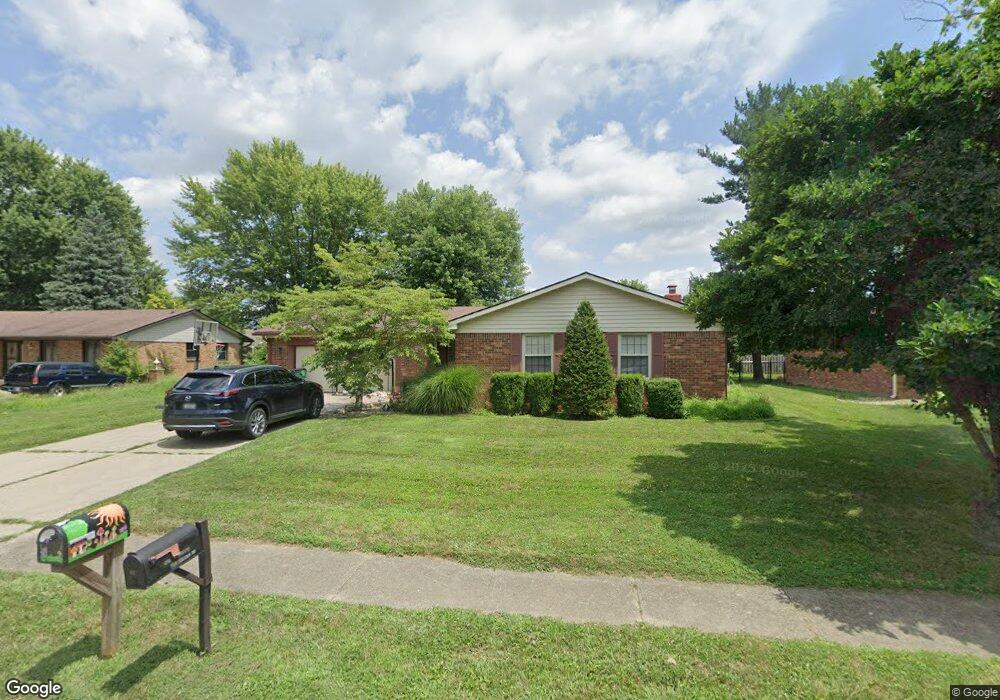
525 Pelenor Dr Franklin, IN 46131
Estimated Value: $241,000 - $276,000
3
Beds
2
Baths
1,189
Sq Ft
$217/Sq Ft
Est. Value
About This Home
This home is located at 525 Pelenor Dr, Franklin, IN 46131 and is currently estimated at $258,180, approximately $217 per square foot. 525 Pelenor Dr is a home located in Johnson County with nearby schools including Northwood Elementary School, Custer Baker Intermediate School, and Franklin Community Middle School.
Ownership History
Date
Name
Owned For
Owner Type
Purchase Details
Closed on
May 30, 2019
Sold by
Burgett Michelle A
Bought by
Flint Jason and Flint Kasie
Current Estimated Value
Home Financials for this Owner
Home Financials are based on the most recent Mortgage that was taken out on this home.
Original Mortgage
$97,400
Outstanding Balance
$85,810
Interest Rate
4.2%
Mortgage Type
New Conventional
Estimated Equity
$172,370
Purchase Details
Closed on
Jun 7, 2013
Sold by
Burgett Scott
Bought by
Burgett Michelle
Create a Home Valuation Report for This Property
The Home Valuation Report is an in-depth analysis detailing your home's value as well as a comparison with similar homes in the area
Home Values in the Area
Average Home Value in this Area
Purchase History
| Date | Buyer | Sale Price | Title Company |
|---|---|---|---|
| Flint Jason | -- | Chicago Title | |
| Burgett Michelle | -- | None Available |
Source: Public Records
Mortgage History
| Date | Status | Borrower | Loan Amount |
|---|---|---|---|
| Open | Flint Jason | $97,400 |
Source: Public Records
Tax History
| Year | Tax Paid | Tax Assessment Tax Assessment Total Assessment is a certain percentage of the fair market value that is determined by local assessors to be the total taxable value of land and additions on the property. | Land | Improvement |
|---|---|---|---|---|
| 2025 | $4,102 | $237,000 | $18,900 | $218,100 |
| 2024 | $4,102 | $185,400 | $18,900 | $166,500 |
| 2023 | $4,059 | $182,400 | $18,900 | $163,500 |
| 2022 | $4,014 | $180,000 | $18,900 | $161,100 |
| 2021 | $3,512 | $157,500 | $18,000 | $139,500 |
| 2020 | $3,249 | $145,700 | $18,000 | $127,700 |
| 2019 | $1,488 | $135,900 | $18,000 | $117,900 |
| 2018 | $1,320 | $132,900 | $18,000 | $114,900 |
| 2017 | $1,300 | $129,000 | $18,000 | $111,000 |
| 2016 | $1,180 | $123,000 | $18,000 | $105,000 |
| 2014 | $1,081 | $108,100 | $21,000 | $87,100 |
| 2013 | $1,081 | $113,900 | $21,000 | $92,900 |
Source: Public Records
Map
Nearby Homes
- 492 Pelenor Dr
- 506 Galahad Dr
- 1238 Atlas Ln
- 925 Mallory Pkwy
- 1286 Murphy Dr
- 1212 Crabapple Rd
- 1455 Cecil Ln
- 1408 Crabapple Rd
- 1424 Crabapple Rd
- 1712 Turning Leaf Dr
- 1664 Woodside Cir
- 1046 Ebony Cir
- 1985 Falcon Ct
- 1996 Acorn Rd Unit 2000
- 2002 Falcon Ct
- 2000 Acorn Rd
- 21 14th St
- 1220 Harvest Ridge Cir
- 1194 Grassy Creek Cir
- 198 W King St
- 505 Pelenor Dr
- 545 Pelenor Dr
- 483 Pelenor Dr
- 565 Pelenor Dr
- 524 Pelenor Dr
- 544 Pelenor Dr
- 564 Pelenor Dr
- 585 Pelenor Dr
- 463 Pelenor Dr
- 1215 Kings Ct
- 472 Pelenor Dr
- 1205 Kings Ct
- 590 Pelenor Dr
- 433 Pelenor Dr
- 1191 Castle Dr
- 465 King Arthur Dr
- 1220 Kings Ct
- 452 Pelenor Dr
- 1227 Castle Dr
- 435 King Arthur Dr
Your Personal Tour Guide
Ask me questions while you tour the home.