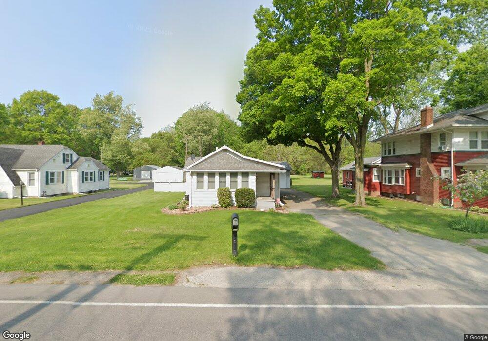
525 S Apple Rd Osceola, IN 46561
Estimated Value: $146,000 - $207,000
1
Bed
2
Baths
1,024
Sq Ft
$166/Sq Ft
Est. Value
About This Home
This home is located at 525 S Apple Rd, Osceola, IN 46561 and is currently estimated at $170,170, approximately $166 per square foot. 525 S Apple Rd is a home located in St. Joseph County with nearby schools including Moran Elementary School, Virgil I. Grissom Middle School, and Penn High School.
Ownership History
Date
Name
Owned For
Owner Type
Purchase Details
Closed on
Oct 8, 2015
Sold by
Folkers Melinda
Bought by
Switalski Brittany
Current Estimated Value
Home Financials for this Owner
Home Financials are based on the most recent Mortgage that was taken out on this home.
Original Mortgage
$83,460
Outstanding Balance
$65,304
Interest Rate
3.88%
Mortgage Type
FHA
Estimated Equity
$104,866
Purchase Details
Closed on
Jun 22, 2007
Sold by
Wallick Dale A and Wallick Belinda K
Bought by
Brock Melinda
Home Financials for this Owner
Home Financials are based on the most recent Mortgage that was taken out on this home.
Original Mortgage
$73,200
Interest Rate
6.26%
Mortgage Type
New Conventional
Create a Home Valuation Report for This Property
The Home Valuation Report is an in-depth analysis detailing your home's value as well as a comparison with similar homes in the area
Home Values in the Area
Average Home Value in this Area
Purchase History
| Date | Buyer | Sale Price | Title Company |
|---|---|---|---|
| Switalski Brittany | -- | Metropolitan Title | |
| Brock Melinda | -- | None Available |
Source: Public Records
Mortgage History
| Date | Status | Borrower | Loan Amount |
|---|---|---|---|
| Open | Switalski Brittany | $83,460 | |
| Previous Owner | Brock Melinda | $73,200 |
Source: Public Records
Tax History Compared to Growth
Tax History
| Year | Tax Paid | Tax Assessment Tax Assessment Total Assessment is a certain percentage of the fair market value that is determined by local assessors to be the total taxable value of land and additions on the property. | Land | Improvement |
|---|---|---|---|---|
| 2024 | $493 | $87,000 | $16,800 | $70,200 |
| 2023 | $483 | $87,200 | $16,800 | $70,400 |
| 2022 | $483 | $87,200 | $16,800 | $70,400 |
| 2021 | $422 | $78,900 | $17,200 | $61,700 |
| 2020 | $417 | $79,100 | $17,200 | $61,900 |
| 2019 | $424 | $79,100 | $17,200 | $61,900 |
| 2018 | $418 | $79,800 | $17,200 | $62,600 |
| 2017 | $361 | $77,800 | $17,200 | $60,600 |
| 2016 | $379 | $78,200 | $17,200 | $61,000 |
| 2014 | $363 | $75,000 | $17,200 | $57,800 |
Source: Public Records
Map
Nearby Homes
- 310 E Adams St
- 502 W Adams St
- 414 W Superior St
- 418 W Superior St
- 603 W Adams St
- 307 E Goshen Rd
- 301 N Olive St
- 58155 Beehler Rd
- 11024 Bayou Ct Unit 276
- 11508 New Trails Dr
- 11211 Idlewood Dr
- 10266 Glenwood Ave
- 56934 Ash Rd
- 10461 Glenwood Ave
- 11249 Hemlock Dr
- 506 N Beech Rd
- 30474 Jaxon Dr
- 10449 Charles St
- 1404 Wilderness Tr
- 56654 Ash Rd