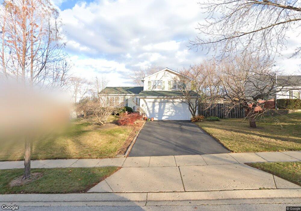
525 Somerset Ct Algonquin, IL 60102
High Hill Farms NeighborhoodEstimated Value: $325,495 - $359,000
3
Beds
2
Baths
1,176
Sq Ft
$295/Sq Ft
Est. Value
About This Home
This home is located at 525 Somerset Ct, Algonquin, IL 60102 and is currently estimated at $346,374, approximately $294 per square foot. 525 Somerset Ct is a home located in McHenry County with nearby schools including Westfield Community School, Kenneth E Neubert Elementary School, and United Junior High School.
Ownership History
Date
Name
Owned For
Owner Type
Purchase Details
Closed on
Jul 10, 1996
Sold by
Salak Michael G and Salak Michelle I
Bought by
Swanson Judith G
Current Estimated Value
Home Financials for this Owner
Home Financials are based on the most recent Mortgage that was taken out on this home.
Original Mortgage
$144,581
Outstanding Balance
$10,537
Interest Rate
8.33%
Mortgage Type
FHA
Estimated Equity
$335,837
Create a Home Valuation Report for This Property
The Home Valuation Report is an in-depth analysis detailing your home's value as well as a comparison with similar homes in the area
Home Values in the Area
Average Home Value in this Area
Purchase History
| Date | Buyer | Sale Price | Title Company |
|---|---|---|---|
| Swanson Judith G | $147,500 | -- |
Source: Public Records
Mortgage History
| Date | Status | Borrower | Loan Amount |
|---|---|---|---|
| Open | Swanson Judith G | $144,581 |
Source: Public Records
Tax History Compared to Growth
Tax History
| Year | Tax Paid | Tax Assessment Tax Assessment Total Assessment is a certain percentage of the fair market value that is determined by local assessors to be the total taxable value of land and additions on the property. | Land | Improvement |
|---|---|---|---|---|
| 2024 | $6,537 | $99,563 | $23,662 | $75,901 |
| 2023 | $6,115 | $89,047 | $21,163 | $67,884 |
| 2022 | $6,088 | $76,995 | $21,044 | $55,951 |
| 2021 | $5,832 | $71,730 | $19,605 | $52,125 |
| 2020 | $5,674 | $69,191 | $18,911 | $50,280 |
| 2019 | $5,530 | $66,224 | $18,100 | $48,124 |
| 2018 | $5,259 | $61,177 | $16,721 | $44,456 |
| 2017 | $5,142 | $57,632 | $15,752 | $41,880 |
| 2016 | $5,053 | $54,054 | $14,774 | $39,280 |
| 2013 | -- | $51,836 | $13,783 | $38,053 |
Source: Public Records
Map
Nearby Homes
- 1235 Fairmont Ct
- 700 Fairfield Ln
- 266 Grandview Ct
- 721 Brentwood Ct
- 16 Brian Ct
- 1820 Crofton Dr
- 909 Roger St
- 741 Regal Ln
- 615 Harper Dr
- 135 Arquilla Dr
- 661 Majestic Dr
- 1 N Hubbard St
- SWC Talaga and Algonquin Rd
- 305 Buckingham Dr
- LOT 3 Blackhawk Dr
- Lots 10 & 11 Ramble Rd
- 807 Menominee Dr
- 809 Menominee Dr
- 900 Windstone Ct
- 937 Mesa Dr
- 515 Somerset Ct
- 535 Somerset Ct
- 520 Amber Wood Ct
- 510 Amber Wood Ct
- 530 Amber Wood Ct
- 520 Somerset Ct
- 530 Somerset Ct Unit 4
- 505 Somerset Ct
- 500 Amber Wood Ct
- 510 Somerset Ct
- 540 Somerset Ct
- 500 Somerset Ct
- 1435 Saddlebrook Cir
- 1445 Saddlebrook Cir
- 1425 Saddlebrook Cir
- 525 W Parkview Terrace
- 515 Amber Wood Ct
- 1330 Cherry Wood Ct
- 535 W Parkview Terrace
- 515 W Parkview Terrace