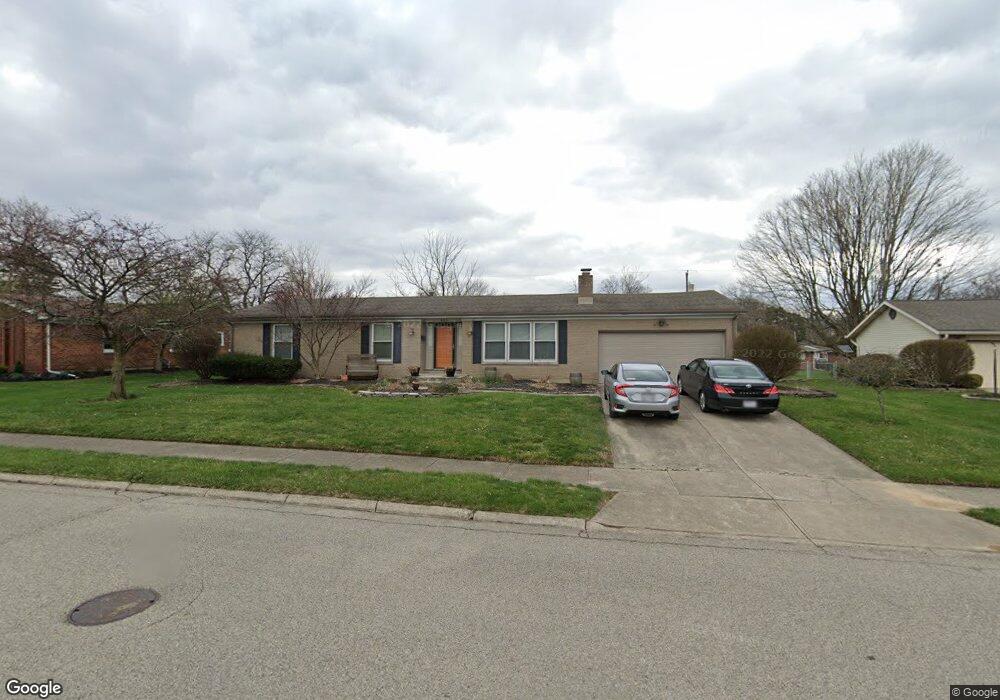
525 Sparta Dr Springfield, OH 45503
Estimated Value: $207,000 - $284,000
3
Beds
3
Baths
1,612
Sq Ft
$152/Sq Ft
Est. Value
About This Home
This home is located at 525 Sparta Dr, Springfield, OH 45503 and is currently estimated at $244,558, approximately $151 per square foot. 525 Sparta Dr is a home located in Clark County with nearby schools including Kenton Elementary School, Roosevelt Middle School, and Springfield High School.
Ownership History
Date
Name
Owned For
Owner Type
Purchase Details
Closed on
Aug 14, 2009
Sold by
Ground Richard S and Ground Richard Scott
Bought by
Ground Karen L and Ground Richard Scott
Current Estimated Value
Purchase Details
Closed on
Nov 12, 1993
Sold by
Runkle Stephen H and Runkle Barbara J
Bought by
Ground Richard Scott and Ground Karen L
Purchase Details
Closed on
Jul 9, 1991
Create a Home Valuation Report for This Property
The Home Valuation Report is an in-depth analysis detailing your home's value as well as a comparison with similar homes in the area
Home Values in the Area
Average Home Value in this Area
Purchase History
| Date | Buyer | Sale Price | Title Company |
|---|---|---|---|
| Ground Karen L | -- | Attorney | |
| Ground Richard Scott | $115,900 | -- | |
| -- | $108,500 | -- |
Source: Public Records
Tax History
| Year | Tax Paid | Tax Assessment Tax Assessment Total Assessment is a certain percentage of the fair market value that is determined by local assessors to be the total taxable value of land and additions on the property. | Land | Improvement |
|---|---|---|---|---|
| 2025 | $2,594 | $80,580 | $15,130 | $65,450 |
| 2024 | $950 | $62,230 | $12,870 | $49,360 |
| 2023 | $2,888 | $62,230 | $12,870 | $49,360 |
| 2022 | $1,245 | $62,230 | $12,870 | $49,360 |
| 2021 | $2,124 | $48,480 | $9,820 | $38,660 |
| 2020 | $2,598 | $48,480 | $9,820 | $38,660 |
| 2019 | $2,604 | $48,480 | $9,820 | $38,660 |
| 2018 | $2,706 | $48,390 | $9,800 | $38,590 |
| 2017 | $2,704 | $50,593 | $9,804 | $40,789 |
| 2016 | $2,708 | $50,593 | $9,804 | $40,789 |
| 2015 | $2,470 | $45,094 | $9,338 | $35,756 |
| 2014 | $2,459 | $45,094 | $9,338 | $35,756 |
| 2013 | $2,433 | $45,094 | $9,338 | $35,756 |
Source: Public Records
Map
Nearby Homes
- 2540 Rebecca Dr
- 366 Northfield Blvd Unit 1C
- 2824 Balsam Dr
- 516 Rensselaer St
- 1046 Fruitland Rd
- 0 E Home Rd
- 141 S Kensington Place
- 958 Torrence Dr
- 154 Floral Ave
- 2002 N Fountain Blvd
- 2553 Derr Rd
- 1810 N Limestone St
- 2951 Archer Ln
- 3021 Argonne Ln N
- 3027 Argonne Ln N Unit 3027
- 110 S Broadmoor Blvd
- 224 Roscommon Dr
- 124 Englewood Rd
- 3153 Argonne Ln N
- 3135 Imperial Blvd
- 519 Sparta Dr
- 533 Sparta Dr
- 528 Cookston Ave
- 536 Cookston Ave
- 520 Cookston Ave
- 526 Sparta Dr
- 509 Sparta Dr
- 543 Sparta Dr
- 544 Cookston Ave
- 534 Sparta Dr
- 514 Cookston Ave
- 602 Cookston Ave
- 542 Sparta Dr
- 506 Cookston Ave
- 506 Sparta Dr
- 2401 Balsam Dr
- 451 Sparta Dr
- 527 Latimer Dr
- 527 Cookston Ave
- 521 Latimer Dr
Your Personal Tour Guide
Ask me questions while you tour the home.