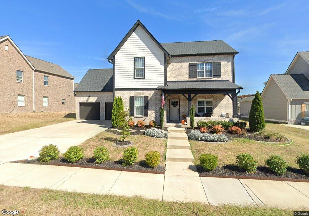
525 Stable St Mount Juliet, TN 37122
Estimated Value: $800,041 - $893,000
--
Bed
3
Baths
3,343
Sq Ft
$255/Sq Ft
Est. Value
About This Home
This home is located at 525 Stable St, Mount Juliet, TN 37122 and is currently estimated at $854,010, approximately $255 per square foot. 525 Stable St is a home located in Wilson County with nearby schools including Stoner Creek Elementary School, West Wilson Middle School, and Mt. Juliet High School.
Ownership History
Date
Name
Owned For
Owner Type
Purchase Details
Closed on
Oct 13, 2020
Sold by
Clark Brandon J and Clark Kayla M
Bought by
Madden Robert J
Current Estimated Value
Home Financials for this Owner
Home Financials are based on the most recent Mortgage that was taken out on this home.
Original Mortgage
$519,332
Outstanding Balance
$461,918
Interest Rate
2.9%
Mortgage Type
FHA
Estimated Equity
$392,092
Purchase Details
Closed on
Sep 14, 2018
Sold by
Jackson Hills Partners Llc
Bought by
Clark Brandon J and Clark Kayla M
Home Financials for this Owner
Home Financials are based on the most recent Mortgage that was taken out on this home.
Original Mortgage
$449,384
Interest Rate
4.5%
Mortgage Type
New Conventional
Create a Home Valuation Report for This Property
The Home Valuation Report is an in-depth analysis detailing your home's value as well as a comparison with similar homes in the area
Home Values in the Area
Average Home Value in this Area
Purchase History
| Date | Buyer | Sale Price | Title Company |
|---|---|---|---|
| Madden Robert J | $564,900 | Dba Warranty Title Ins Co | |
| Clark Brandon J | $473,036 | Windmill Title Llc |
Source: Public Records
Mortgage History
| Date | Status | Borrower | Loan Amount |
|---|---|---|---|
| Open | Madden Robert J | $519,332 | |
| Previous Owner | Clark Brandon J | $449,384 |
Source: Public Records
Tax History Compared to Growth
Tax History
| Year | Tax Paid | Tax Assessment Tax Assessment Total Assessment is a certain percentage of the fair market value that is determined by local assessors to be the total taxable value of land and additions on the property. | Land | Improvement |
|---|---|---|---|---|
| 2024 | $2,532 | $132,625 | $20,000 | $112,625 |
| 2022 | $2,525 | $132,300 | $20,000 | $112,300 |
| 2021 | $2,671 | $132,300 | $20,000 | $112,300 |
| 2020 | $2,851 | $132,300 | $20,000 | $112,300 |
| 2019 | $2,662 | $106,150 | $16,250 | $89,900 |
| 2018 | $2,662 | $105,675 | $16,250 | $89,425 |
Source: Public Records
Map
Nearby Homes
- 27 Yearling Way
- 243 Croft Way
- 247 Croft Way
- 270 Croft Way
- 1012 Zane Dr
- 1010 Zane Dr
- 1019 Zane Dr
- Weston Plan at Bradshaw Farms - Estates
- Ansley Plan at Bradshaw Farms - Estates
- Buchanan Plan at Bradshaw Farms - Estates
- Kingston Plan at Bradshaw Farms - Estates
- Ashford Plan at Bradshaw Farms - Estates
- 309 Croft Way
- 1015 Zane Dr
- 1014 Zane Dr
- 701 Plowson Rd
- 1018 Zane Dr
- 1022 Zane Dr
- 1101 Codah Dr
- 1100 Codah Dr
- 525 Stable St Unit 380
- 525 Stable St
- 523 Stable St
- 524 Stable St Unit 386
- 527 Stable St Unit 381
- 526 Stable St
- 523 Stable St Unit 379
- 523 Stable St
- 528 Stable St Unit 388
- 528 Stable St
- 528 Stable St
- 526 Stable St Unit 387
- 526 Stable St
- 522 Stable St
- 522 Stable St
- 522 Stable St Unit 385
- 522 Stable St
- 529 Stable St Unit 382
- 529 Stable St
- 530 Stable St Unit 389