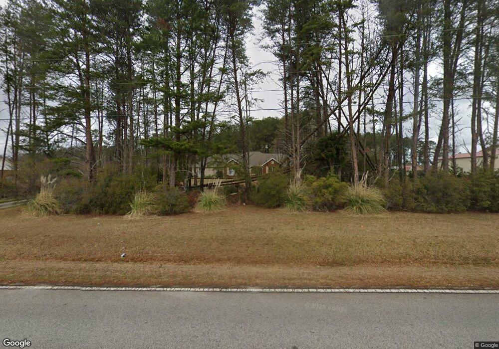
525 Stone Rd McDonough, GA 30253
Estimated Value: $287,000 - $322,132
3
Beds
2
Baths
1,552
Sq Ft
$195/Sq Ft
Est. Value
About This Home
This home is located at 525 Stone Rd, McDonough, GA 30253 and is currently estimated at $303,283, approximately $195 per square foot. 525 Stone Rd is a home located in Henry County with nearby schools including Mount Carmel Elementary School, Hampton Middle School, and Hampton High School.
Ownership History
Date
Name
Owned For
Owner Type
Purchase Details
Closed on
Nov 18, 2010
Sold by
Rainwater James W and Rainwater Mildred L
Bought by
Haunson Rebecca
Current Estimated Value
Purchase Details
Closed on
Aug 26, 2010
Sold by
D & D Investments Llc
Bought by
Rainwater James W and Rainwater Mildred L
Purchase Details
Closed on
Jul 8, 2010
Sold by
Veterans Admn
Bought by
D & D Investments Llc
Purchase Details
Closed on
Apr 6, 2010
Sold by
Wells Fargo Bk Na
Bought by
Veterans Admn
Create a Home Valuation Report for This Property
The Home Valuation Report is an in-depth analysis detailing your home's value as well as a comparison with similar homes in the area
Home Values in the Area
Average Home Value in this Area
Purchase History
| Date | Buyer | Sale Price | Title Company |
|---|---|---|---|
| Haunson Rebecca | -- | -- | |
| Rainwater James W | $120,000 | -- | |
| D & D Investments Llc | $57,000 | -- | |
| Veterans Admn | -- | -- | |
| Wells Fargo Bk Na | $73,060 | -- |
Source: Public Records
Tax History
| Year | Tax Paid | Tax Assessment Tax Assessment Total Assessment is a certain percentage of the fair market value that is determined by local assessors to be the total taxable value of land and additions on the property. | Land | Improvement |
|---|---|---|---|---|
| 2025 | $2,295 | $120,360 | $16,120 | $104,240 |
| 2024 | $2,295 | $120,360 | $14,760 | $105,600 |
| 2023 | $2,399 | $121,600 | $14,200 | $107,400 |
| 2022 | $3,591 | $92,560 | $13,120 | $79,440 |
| 2021 | $1,240 | $78,640 | $11,240 | $67,400 |
| 2020 | $1,042 | $70,240 | $10,600 | $59,640 |
| 2019 | $908 | $64,560 | $10,040 | $54,520 |
| 2018 | $0 | $60,440 | $9,280 | $51,160 |
| 2016 | $575 | $50,480 | $7,160 | $43,320 |
| 2015 | -- | $46,920 | $7,640 | $39,280 |
| 2014 | -- | $38,840 | $7,640 | $31,200 |
Source: Public Records
Map
Nearby Homes
- 1528 Rolling Meadows Dr
- 1533 Rolling Meadows Dr
- 461 Arbor Chase
- 112 Bridget Dr
- 1416 Trellis Ct Unit (LOT 21)
- 1422 Trellis Ct Unit (LOT 22)
- 320 Water Wheel Ct
- 272 Stone Rd
- 400 Savannah Place
- 1495 Empress Dr
- 125 Bridget Dr
- 810 Karie Dr Unit 3
- 1548 Empress Dr
- 2200 Highway 20 W
- 2093 Parador Bend
- 1478 Elena Dr
- 650 New Morn Dr
- 1016 Field View Dr
- 105 N Oakland Cir
- 1580 Blair Rd
- 535 Stone Rd
- 515 Stone Rd
- 500 Oakland Rd
- 490 Oakland Rd
- 607 Oakland Rd
- 1732 Rising View Cir
- 1732 Rising View Cir Unit 1
- 1736 Rising View Cir
- 480 Oakland Rd
- 1740 Rising View Cir
- 1728 Rising View Cir
- 1728 Rising View Cir Unit 45
- 451 Stone Rd
- 1724 Rising View Cir
- 485 Oakland Rd
- 631 Stone Rd
- 1744 Rising View Cir Unit 49
- 1744 Rising View Cir
- 1720 Rising View Cir
- 441 Stone Rd
Your Personal Tour Guide
Ask me questions while you tour the home.