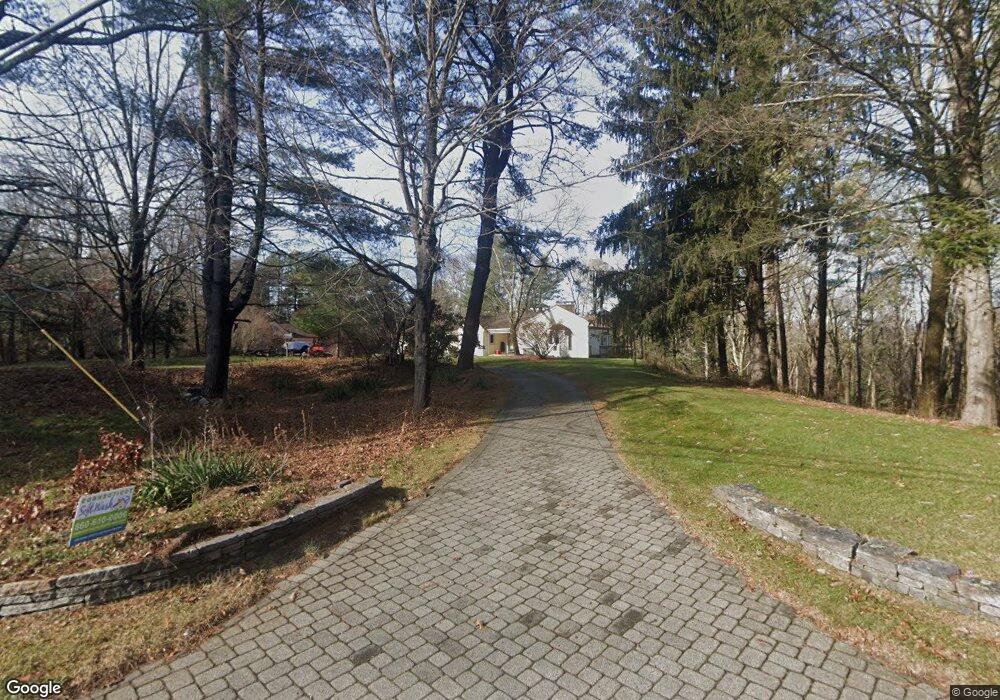
525 Weir St Glastonbury, CT 06033
East Glastonbury NeighborhoodEstimated Value: $605,000 - $627,000
4
Beds
3
Baths
2,517
Sq Ft
$245/Sq Ft
Est. Value
About This Home
This home is located at 525 Weir St, Glastonbury, CT 06033 and is currently estimated at $615,597, approximately $244 per square foot. 525 Weir St is a home located in Hartford County with nearby schools including Gideon Welles School, Hopewell School, and Smith Middle School.
Ownership History
Date
Name
Owned For
Owner Type
Purchase Details
Closed on
Jun 1, 2023
Sold by
Eastman Quentin B
Bought by
Quentin B Eastman Relt B and Quentin Eastman
Current Estimated Value
Purchase Details
Closed on
Mar 28, 2023
Sold by
Eastman Barbara K
Bought by
Eastman Quentin B
Home Financials for this Owner
Home Financials are based on the most recent Mortgage that was taken out on this home.
Original Mortgage
$317,500
Interest Rate
6.5%
Mortgage Type
Stand Alone Refi Refinance Of Original Loan
Purchase Details
Closed on
Aug 26, 2004
Sold by
Osullivan Patricia and Osullivan Timothy
Bought by
Eastman Quentin B and Eastman Barbara K
Home Financials for this Owner
Home Financials are based on the most recent Mortgage that was taken out on this home.
Original Mortgage
$260,000
Interest Rate
6.02%
Mortgage Type
Purchase Money Mortgage
Create a Home Valuation Report for This Property
The Home Valuation Report is an in-depth analysis detailing your home's value as well as a comparison with similar homes in the area
Home Values in the Area
Average Home Value in this Area
Purchase History
| Date | Buyer | Sale Price | Title Company |
|---|---|---|---|
| Quentin B Eastman Relt B | -- | None Available | |
| Quentin B Eastman Relt B | -- | None Available | |
| Eastman Quentin B | -- | None Available | |
| Eastman Quentin B | -- | None Available | |
| Eastman Quentin B | $380,000 | -- | |
| Eastman Quentin B | $380,000 | -- |
Source: Public Records
Mortgage History
| Date | Status | Borrower | Loan Amount |
|---|---|---|---|
| Previous Owner | Eastman Quentin B | $317,500 | |
| Previous Owner | Eastman Quentin B | $230,275 | |
| Previous Owner | Eastman Quentin B | $50,000 | |
| Previous Owner | Eastman Quentin B | $260,000 |
Source: Public Records
Tax History Compared to Growth
Tax History
| Year | Tax Paid | Tax Assessment Tax Assessment Total Assessment is a certain percentage of the fair market value that is determined by local assessors to be the total taxable value of land and additions on the property. | Land | Improvement |
|---|---|---|---|---|
| 2025 | $10,092 | $307,400 | $109,200 | $198,200 |
| 2024 | $9,815 | $307,400 | $109,200 | $198,200 |
| 2023 | $9,532 | $307,400 | $109,200 | $198,200 |
| 2022 | $9,004 | $241,400 | $91,300 | $150,100 |
| 2021 | $9,005 | $241,300 | $91,300 | $150,000 |
| 2020 | $8,904 | $241,300 | $91,300 | $150,000 |
| 2019 | $8,774 | $241,300 | $91,300 | $150,000 |
| 2018 | $8,687 | $241,300 | $91,300 | $150,000 |
| 2017 | $9,183 | $245,200 | $88,800 | $156,400 |
| 2016 | $8,925 | $245,200 | $88,800 | $156,400 |
| 2015 | $8,852 | $245,200 | $88,800 | $156,400 |
| 2014 | $8,741 | $245,200 | $88,800 | $156,400 |
Source: Public Records
Map
Nearby Homes
- 136 Shoddy Mill Rd
- 913 Thompson St
- 57 Francis Dr
- 144 Weir St
- 391 Eastbury Hill Rd
- 96 Crosby Rd
- 97 Crosby Rd
- 105 (Option B) Crosby Rd
- 105 (Option A) Crosby Rd
- 0 Hebron Ave
- 80 Greentree Dr
- 390 Ash Swamp Rd
- 456 Thompson St
- 36 Sand Hill Ln
- 243 Manchester Rd
- 509 Cedar Ridge Dr
- 49 Millstone Rd
- 2788 Hebron Ave
- 318 Three Mile Rd
- 202 High Wood Dr
- 243 Shoddy Mill Rd
- 251 Shoddy Mill Rd
- 241 Shoddy Mill Rd
- 497 Weir St
- 500 Weir St
- 491 Weir St
- 229 Shoddy Mill Rd
- 213 Shoddy Mill Rd
- 520 Weir St
- 543 Weir St
- 505 Weir St
- 203 Shoddy Mill Rd
- 463 Weir St
- 530 Weir St
- 214 Shoddy Mill Rd
- 193 Shoddy Mill Rd
- 480 Weir St
- 447 Weir St
- 579 Weir St
- 200 Shoddy Mill Rd