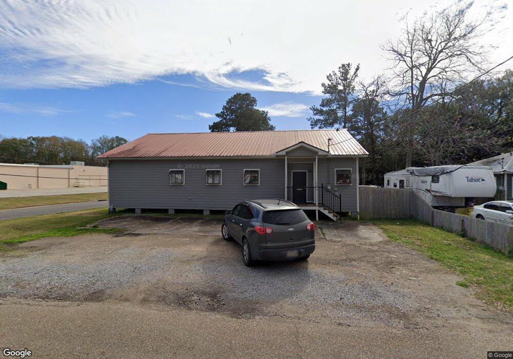
5250 Mae St Zachary, LA 70791
Estimated Value: $171,467
--
Bed
--
Bath
2,200
Sq Ft
$78/Sq Ft
Est. Value
About This Home
This home is located at 5250 Mae St, Zachary, LA 70791 and is currently estimated at $171,467, approximately $77 per square foot. 5250 Mae St is a home located in East Baton Rouge Parish with nearby schools including Rollins Place Elementary School, Northwestern Elementary School, and Zachary Elementary School.
Ownership History
Date
Name
Owned For
Owner Type
Purchase Details
Closed on
Feb 25, 2021
Sold by
Coxe Rebecca Forman
Bought by
Watts Melton Neil and Watts Staci Mchugh
Current Estimated Value
Purchase Details
Closed on
Mar 31, 1998
Sold by
Johnson Donald W
Bought by
Coxe Rebecca Forman
Home Financials for this Owner
Home Financials are based on the most recent Mortgage that was taken out on this home.
Original Mortgage
$36,530
Interest Rate
7.04%
Mortgage Type
Commercial
Create a Home Valuation Report for This Property
The Home Valuation Report is an in-depth analysis detailing your home's value as well as a comparison with similar homes in the area
Home Values in the Area
Average Home Value in this Area
Purchase History
| Date | Buyer | Sale Price | Title Company |
|---|---|---|---|
| Watts Melton Neil | $147,000 | Cypress Title Llc | |
| Coxe Rebecca Forman | $61,500 | -- |
Source: Public Records
Mortgage History
| Date | Status | Borrower | Loan Amount |
|---|---|---|---|
| Previous Owner | Coxe Rebecca Forman | $36,530 |
Source: Public Records
Tax History Compared to Growth
Tax History
| Year | Tax Paid | Tax Assessment Tax Assessment Total Assessment is a certain percentage of the fair market value that is determined by local assessors to be the total taxable value of land and additions on the property. | Land | Improvement |
|---|---|---|---|---|
| 2024 | $2,893 | $22,814 | $451 | $22,363 |
| 2023 | $2,893 | $20,740 | $410 | $20,330 |
| 2022 | $2,601 | $20,740 | $410 | $20,330 |
| 2021 | $2,601 | $20,740 | $410 | $20,330 |
| 2020 | $1,943 | $15,350 | $410 | $14,940 |
| 2019 | $2,075 | $14,900 | $400 | $14,500 |
| 2018 | $2,082 | $14,900 | $400 | $14,500 |
| 2017 | $2,082 | $14,900 | $400 | $14,500 |
| 2016 | $2,038 | $14,900 | $400 | $14,500 |
| 2015 | $1,996 | $14,850 | $350 | $14,500 |
| 2014 | $1,990 | $14,850 | $350 | $14,500 |
| 2013 | -- | $14,850 | $350 | $14,500 |
Source: Public Records
Map
Nearby Homes
- 4311 Locke St
- 4848 Lois Dr
- 4904 Bob Odom Dr Unit B1
- 4906 Bob Odom Dr Unit C2
- 4908 Bob Odom Dr Unit B2
- 5325 Lower Zachary Rd
- 5081 Kennedy Dr
- 5417 Greenridge Ln
- 5633 Emmie Dr Unit C2
- 5635 Emmie Dr Unit B1
- 5629 Emmie Dr Unit A2
- 5631 Emmie Dr Unit B2
- 5420 Greenridge Ln
- 5702 Blvd
- 5708 Montegudo Blvd
- 5710 Montegudo Blvd
- 5704 Montegudo Blvd
- 5706 Montegudo Blvd
- 5125 Harlem St
- 4464 New Weis Rd
- 5236 Mae St
- 4317 Old Weis Rd
- 4385 Old Weis Rd
- 5204 Main St
- 4320 Louisiana 19
- 4320 Highway 19
- 5249 Main St
- 5233 Main St Unit E
- 5233 Main St
- Lot 1 Louisiana 19
- I1 Louisiana 19
- TBD Louisiana 19
- 5832 Louisiana 19
- 4548 Old Slaughter Rd
- 0 Old Weis Rd Unit 201006674
- 0 Old Weis Rd Unit BR2007155600
- 0 Old Weis Rd Unit BR200460631
- 5465 Main St
- 5266 Church St
- 4648 Old Slaughter Rd