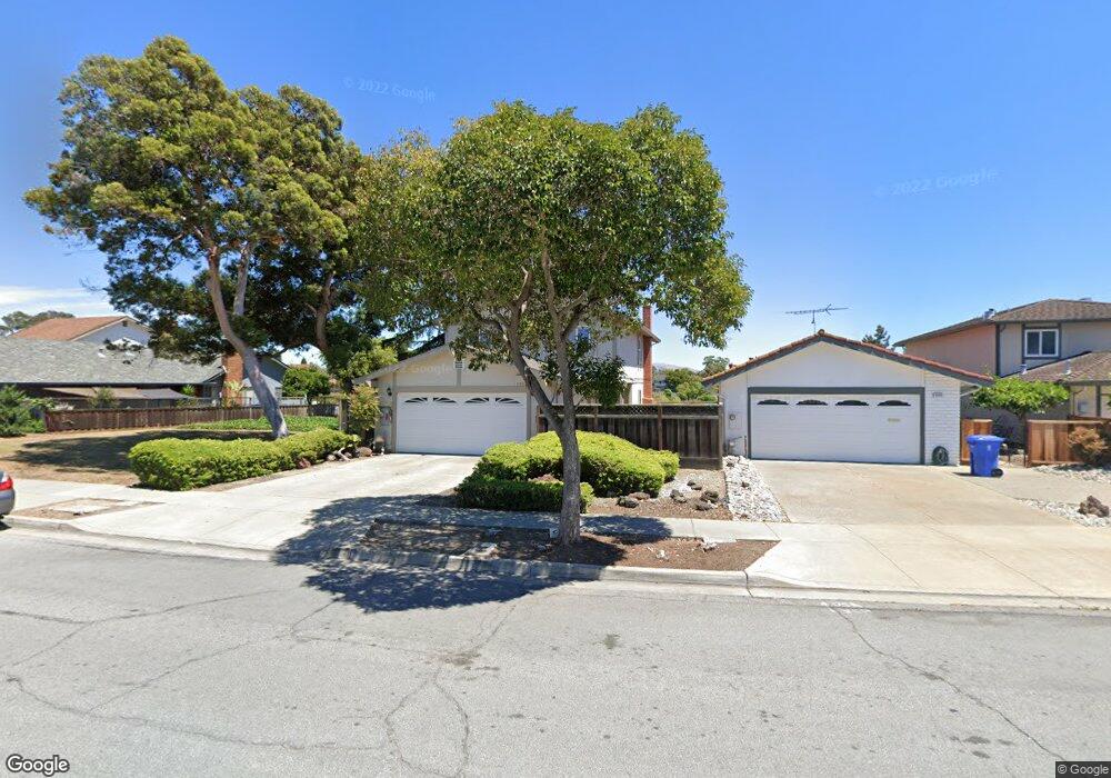
5250 Ramsgate Dr Newark, CA 94560
Newark AreaEstimated Value: $1,640,000 - $1,696,825
About This Home
This home is located at 5250 Ramsgate Dr, Newark, CA 94560 and is currently estimated at $1,659,206, approximately $860 per square foot. 5250 Ramsgate Dr is a home located in Alameda County with nearby schools including John F. Kennedy Elementary School, Newark Junior High School, and Newark Memorial High School.
Ownership History
We collect this data history from publicly available records. To have your information removed, we recommend requesting removal directly through your county’s website.
Purchase Details
Purchase Details
Home Financials for this Owner
Home Financials are based on the most recent Mortgage that was taken out on this home.Purchase Details
Home Financials for this Owner
Home Financials are based on the most recent Mortgage that was taken out on this home.Home Values in the Area
Average Home Value in this Area
Purchase History
We collect this data history from publicly available records. To have your information removed, we recommend requesting removal directly through your county’s website.
| Date | Buyer | Sale Price | Title Company |
|---|---|---|---|
| -- | None Available | ||
| $711,000 | Old Republic Title Company | ||
| $500,000 | North American Title Co |
Mortgage History
We collect this data history from publicly available records. To have your information removed, we recommend requesting removal directly through your county’s website.
| Date | Status | Borrower | Loan Amount |
|---|---|---|---|
| Open | $898,700 | ||
| Closed | $896,893 | ||
| Closed | $662,882 | ||
| Closed | $666,818 | ||
| Closed | $709,485 | ||
| Closed | $700,015 | ||
| Previous Owner | $85,600 | ||
| Previous Owner | $630,000 | ||
| Previous Owner | $527,200 | ||
| Previous Owner | $100,000 | ||
| Previous Owner | $428,000 | ||
| Previous Owner | $93,000 | ||
| Previous Owner | $375,000 | ||
| Previous Owner | $375,000 |
Tax History
We collect this data history from publicly available records. To have your information removed, we recommend requesting removal directly through your county’s website.
| Year | Tax Paid | Tax Assessment Tax Assessment Total Assessment is a certain percentage of the fair market value that is determined by local assessors to be the total taxable value of land and additions on the property. | Land | Improvement |
|---|---|---|---|---|
| 2025 | $11,136 | $915,533 | $274,660 | $640,873 |
| 2024 | $11,136 | $897,587 | $269,276 | $628,311 |
| 2023 | $10,843 | $879,990 | $263,997 | $615,993 |
| 2022 | $10,715 | $862,741 | $258,822 | $603,919 |
| 2021 | $10,446 | $845,826 | $253,748 | $592,078 |
| 2020 | $10,339 | $837,158 | $251,147 | $586,011 |
| 2019 | $10,190 | $820,748 | $246,224 | $574,524 |
| 2018 | $10,042 | $804,660 | $241,398 | $563,262 |
| 2017 | $9,789 | $788,882 | $236,664 | $552,218 |
| 2016 | $9,699 | $773,418 | $232,025 | $541,393 |
| 2015 | $9,668 | $761,807 | $228,542 | $533,265 |
| 2014 | $8,302 | $654,000 | $196,200 | $457,800 |
Map
- 35345 Cheviot Ct
- 35611 Sheridan Ct
- 35415 Blackburn Dr
- 35791 Scarborough Dr
- 36088 Salisbury Dr
- 5613 Abington Ct
- 4815 Windermere Dr
- 36202 Worthing Dr
- 35512 Cabral Dr
- 36276 Cedar Blvd
- 36288 Tudor Place
- 36234 Worthing Dr
- 4635 Capitan Dr
- 36262 San Pedro Dr
- 35214 Lido Blvd Unit B
- 5582 Jonathan Dr
- 36122 Magellan Dr
- 34736 Beret Terrace Unit 78
- 5246 Tacoma Common Unit 51
- 36436 Reina Place
- 5258 Ramsgate Dr
- 5266 Ramsgate Dr
- 5238 Ramsgate Dr
- 5274 Ramsgate Dr
- 5230 Ramsgate Dr
- 35383 Rutland Ct
- 5282 Ramsgate Dr
- 5222 Ramsgate Dr
- 35438 Lake Blvd
- 35380 Rutland Ct
- 5214 Ramsgate Dr
- 35359 Rutland Ct
- 35420 Lake Blvd
- 5206 Ramsgate Dr
- 35368 Rutland Ct
- 35385 Cheviot Ct
- 5237 Orkney Ct
- 35355 Rutland Ct
- 35402 Lake Blvd
- 5221 Orkney Ct
Ask me questions while you tour the home.