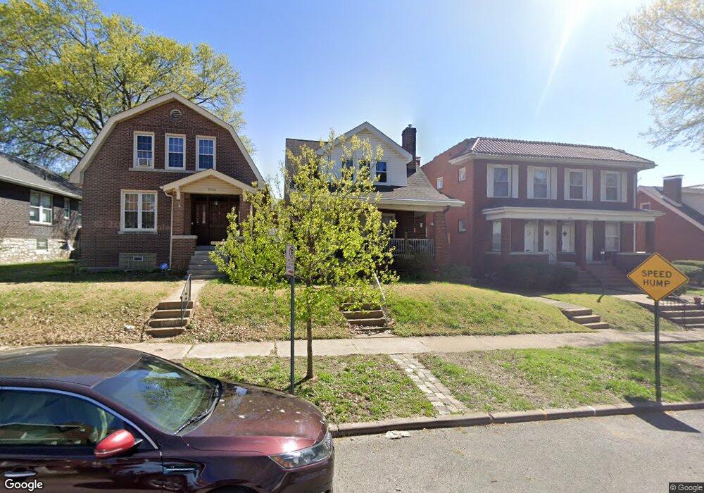
5254 Sutherland Ave Saint Louis, MO 63109
Southampton NeighborhoodEstimated Value: $163,424 - $330,000
Studio
1
Bath
1,288
Sq Ft
$186/Sq Ft
Est. Value
About This Home
This home is located at 5254 Sutherland Ave, Saint Louis, MO 63109 and is currently estimated at $239,606, approximately $186 per square foot. 5254 Sutherland Ave is a home located in St. Louis City with nearby schools including Buder Elementary School, Long International Middle School, and Roosevelt High School.
Ownership History
Date
Name
Owned For
Owner Type
Purchase Details
Closed on
May 25, 2007
Sold by
Wilcut James M and Wilcut Daphne L
Bought by
Wilcut James M and Wilcut Daphne L
Current Estimated Value
Home Financials for this Owner
Home Financials are based on the most recent Mortgage that was taken out on this home.
Original Mortgage
$121,500
Interest Rate
5.92%
Mortgage Type
Stand Alone Refi Refinance Of Original Loan
Create a Home Valuation Report for This Property
The Home Valuation Report is an in-depth analysis detailing your home's value as well as a comparison with similar homes in the area
Home Values in the Area
Average Home Value in this Area
Purchase History
| Date | Buyer | Sale Price | Title Company |
|---|---|---|---|
| Wilcut James M | -- | U S Title |
Source: Public Records
Mortgage History
| Date | Status | Borrower | Loan Amount |
|---|---|---|---|
| Closed | Wilcut James M | $121,500 |
Source: Public Records
Tax History
| Year | Tax Paid | Tax Assessment Tax Assessment Total Assessment is a certain percentage of the fair market value that is determined by local assessors to be the total taxable value of land and additions on the property. | Land | Improvement |
|---|---|---|---|---|
| 2025 | $2,310 | $31,000 | $2,280 | $28,720 |
| 2024 | $2,198 | $27,260 | $2,280 | $24,980 |
| 2023 | $2,198 | $27,260 | $2,280 | $24,980 |
| 2022 | $2,128 | $25,410 | $2,280 | $23,130 |
| 2021 | $2,125 | $25,410 | $2,280 | $23,130 |
| 2020 | $1,968 | $23,690 | $2,280 | $21,410 |
| 2019 | $1,962 | $23,690 | $2,280 | $21,410 |
| 2018 | $1,745 | $20,390 | $2,150 | $18,240 |
| 2017 | $1,715 | $20,390 | $2,150 | $18,240 |
| 2016 | $1,516 | $17,750 | $2,150 | $15,600 |
| 2015 | $1,375 | $17,750 | $2,150 | $15,600 |
| 2014 | $1,364 | $17,750 | $2,150 | $15,600 |
| 2013 | -- | $17,620 | $2,150 | $15,470 |
Source: Public Records
Map
Nearby Homes
- 5339 Murdoch Ave
- 5033 Bancroft Ave
- 5563 Devonshire Ave
- 5462 Nottingham Ave
- 5026-5028 Chippewa St
- 5241 Lindenwood Ave
- 4926 Murdoch Ave
- 5056 Lindenwood Ave
- 4908 Devonshire Ave
- 5006 - 5008 Chippewa
- 5615 Lansdowne Ave
- 5500 Lindenwood Ave
- 5045 Lindenwood Ave
- 5614 Bancroft Ave
- 4978 Chippewa St
- 5011 Lindenwood Ave
- 4961 Delor St
- 5638 Murdoch Ave
- 5644 Murdoch Ave
- 5705 Devonshire Ave
- 5250 Sutherland Ave
- 5302 Sutherland Ave Unit A
- 5300 Sutherland Ave
- 5246 Sutherland Ave
- 5306 Sutherland Ave
- 5242 Sutherland Ave
- 5310 Sutherland Ave
- 5253 Lansdowne Ave
- 5238 Sutherland Ave
- 5303 Lansdowne Ave
- 5312 Sutherland Ave
- 5245 Lansdowne Ave
- 5307 Lansdowne Ave
- 5255 A Sutherland
- 5243 Lansdowne Ave
- 5234 Sutherland Ave
- 5253 Sutherland Ave
- 5255 Sutherland Ave
- 5255 Sutherland Ave Unit A
- 5249 Sutherland Ave
Your Personal Tour Guide
Ask me questions while you tour the home.