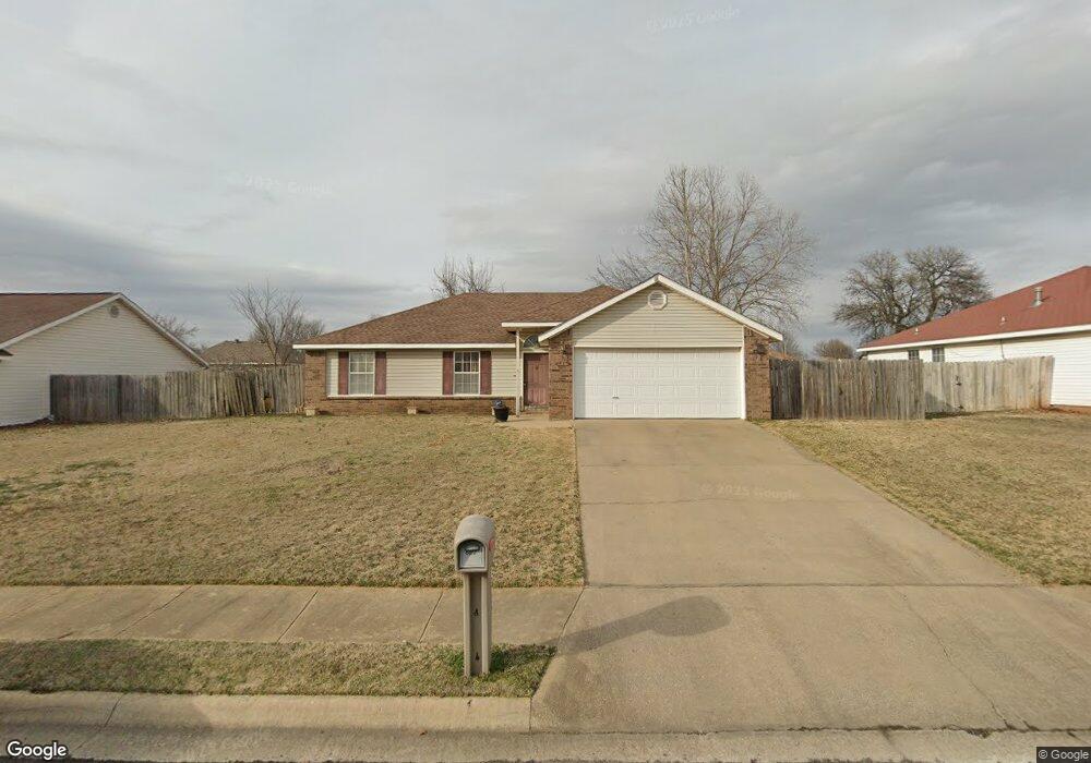
526 Ane Ave Lowell, AR 72745
Estimated Value: $247,275 - $275,000
Studio
2
Baths
1,240
Sq Ft
$209/Sq Ft
Est. Value
About This Home
This home is located at 526 Ane Ave, Lowell, AR 72745 and is currently estimated at $259,569, approximately $209 per square foot. 526 Ane Ave is a home located in Benton County with nearby schools including Lowell Elementary School, Kirksey Middle School, and Rogers High School.
Ownership History
Date
Name
Owned For
Owner Type
Purchase Details
Closed on
Apr 5, 2005
Sold by
Torres Rosa and Torres Sebastian
Bought by
Torres Jose I
Current Estimated Value
Home Financials for this Owner
Home Financials are based on the most recent Mortgage that was taken out on this home.
Original Mortgage
$65,459
Interest Rate
5.89%
Mortgage Type
New Conventional
Purchase Details
Closed on
Feb 9, 1999
Bought by
Torres and Torres Torres
Purchase Details
Closed on
May 28, 1998
Bought by
Easterling
Create a Home Valuation Report for This Property
The Home Valuation Report is an in-depth analysis detailing your home's value as well as a comparison with similar homes in the area
Home Values in the Area
Average Home Value in this Area
Purchase History
| Date | Buyer | Sale Price | Title Company |
|---|---|---|---|
| Torres Jose I | -- | Heritage Land Title Of Arkan | |
| Torres | $74,000 | -- | |
| Easterling | $30,000 | -- |
Source: Public Records
Mortgage History
| Date | Status | Borrower | Loan Amount |
|---|---|---|---|
| Closed | Torres Jose I | $65,459 |
Source: Public Records
Tax History
| Year | Tax Paid | Tax Assessment Tax Assessment Total Assessment is a certain percentage of the fair market value that is determined by local assessors to be the total taxable value of land and additions on the property. | Land | Improvement |
|---|---|---|---|---|
| 2025 | $1,595 | $46,064 | $15,200 | $30,864 |
| 2024 | $1,411 | $46,064 | $15,200 | $30,864 |
| 2023 | $1,344 | $29,250 | $7,200 | $22,050 |
| 2022 | $1,034 | $29,250 | $7,200 | $22,050 |
| 2021 | $964 | $29,250 | $7,200 | $22,050 |
| 2020 | $903 | $21,960 | $4,000 | $17,960 |
| 2019 | $870 | $21,960 | $4,000 | $17,960 |
| 2018 | $895 | $21,960 | $4,000 | $17,960 |
| 2017 | $816 | $21,960 | $4,000 | $17,960 |
| 2016 | $816 | $21,960 | $4,000 | $17,960 |
| 2015 | $1,092 | $20,520 | $4,400 | $16,120 |
| 2014 | $742 | $20,520 | $4,400 | $16,120 |
Source: Public Records
Map
Nearby Homes
- 615 Knight Ave
- 0 Presidential Dr Unit 1317772
- 704 Mcclure Ave
- 423 Mayflower Ave
- 206 N Old Wire Rd
- 1105 Maclaren Ave
- 1101 Maclaren Ave
- 1103 Maclaren Ave
- 1116 Maclaren Ave
- 1102 Maclaren Ave
- 1101 Calla Lily Ave
- 512 Lemon St
- 514 Lemon St
- 510 Lemon St
- 1106 Calla Lily Ave
- 1114 Calla Lily Ave
- 1108 Calla Lily Ave
- 1107 Calla Lily Ave
- 1117 Calla Lily Ave
- 1105 Daylily Ave
Your Personal Tour Guide
Ask me questions while you tour the home.