526 Calavant Hill Rd Charlestown, NH 03603
Estimated Value: $403,000 - $492,821
3
Beds
2
Baths
1,184
Sq Ft
$370/Sq Ft
Est. Value
About This Home
This home is located at 526 Calavant Hill Rd, Charlestown, NH 03603 and is currently estimated at $437,705, approximately $369 per square foot. 526 Calavant Hill Rd is a home located in Sullivan County with nearby schools including North Charlestown Community School, Charlestown Middle School, and Fall Mountain Regional High School.
Ownership History
Date
Name
Owned For
Owner Type
Purchase Details
Closed on
Aug 21, 2007
Sold by
Waryas Stanley W and Waryas Linda C
Bought by
Craig James T
Current Estimated Value
Home Financials for this Owner
Home Financials are based on the most recent Mortgage that was taken out on this home.
Original Mortgage
$178,415
Interest Rate
6.67%
Mortgage Type
Purchase Money Mortgage
Create a Home Valuation Report for This Property
The Home Valuation Report is an in-depth analysis detailing your home's value as well as a comparison with similar homes in the area
Home Values in the Area
Average Home Value in this Area
Purchase History
| Date | Buyer | Sale Price | Title Company |
|---|---|---|---|
| Craig James T | $209,900 | -- |
Source: Public Records
Mortgage History
| Date | Status | Borrower | Loan Amount |
|---|---|---|---|
| Open | Craig James T | $184,500 | |
| Closed | Craig James T | $178,415 |
Source: Public Records
Tax History Compared to Growth
Tax History
| Year | Tax Paid | Tax Assessment Tax Assessment Total Assessment is a certain percentage of the fair market value that is determined by local assessors to be the total taxable value of land and additions on the property. | Land | Improvement |
|---|---|---|---|---|
| 2024 | $10,315 | $283,702 | $43,802 | $239,900 |
| 2023 | $8,197 | $238,902 | $43,802 | $195,100 |
| 2022 | $7,709 | $238,902 | $43,802 | $195,100 |
| 2021 | $6,578 | $208,102 | $43,802 | $164,300 |
| 2020 | $7,074 | $183,027 | $33,427 | $149,600 |
| 2019 | $5,932 | $151,672 | $33,872 | $117,800 |
| 2017 | $5,415 | $148,349 | $34,149 | $114,200 |
| 2016 | $5,200 | $148,349 | $34,149 | $114,200 |
| 2015 | $5,229 | $162,449 | $35,949 | $126,500 |
| 2014 | $5,114 | $162,402 | $35,902 | $126,500 |
| 2013 | $5,074 | $157,181 | $35,881 | $121,300 |
Source: Public Records
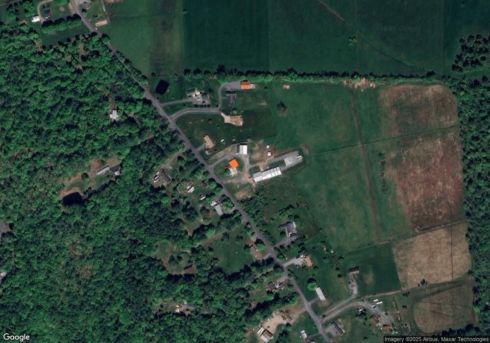
Map
Nearby Homes
- 3507 Claremont Rd
- 3910 Claremont Rd
- 145 Grissom Ln
- 0 Peperes Rd Unit 24.10
- 0 Peperes Rd Unit 93
- 1254 U S 5
- 3 Treeline Dr
- 81 River Rd
- 16 Cherry Hill Rd
- 17 Pappas Rd
- 249 Maple Ave
- 272 Maple Ave
- 10 Acer Heights Rd
- 320 Old Bow Rd
- 37 Maple Ave
- 22 Bible Hill Rd
- 62 Ridge Ave
- 2 Birchwood Rd
- 46 Ridge Ave
- 278 Pleasant St
- 499 Calavant Hill Rd
- 525 Calavant Hill Rd
- 566 Calavant Hill Rd
- 468 Calavant Hill Rd
- 543 Calavant Hill Rd
- 467 Calavant Hill Rd
- 568 Calavant Hill Rd
- 456 Calavant Hill Rd
- 578 Calavant Hill Rd
- 449 Calavant Hill Rd
- 491 Calavant Hill Rd
- 430 Calavant Hill Rd
- 420 Calavant Hill Rd
- 342 Calavant Hill Rd
- 0 Calavant Hill Rd
- 412 Calavant Hill Rd
- 411 Calavant Hill Rd
- 418 Calavant Hill Rd
- 393 Calavant Hill Rd
- 11 Cardinal Ln