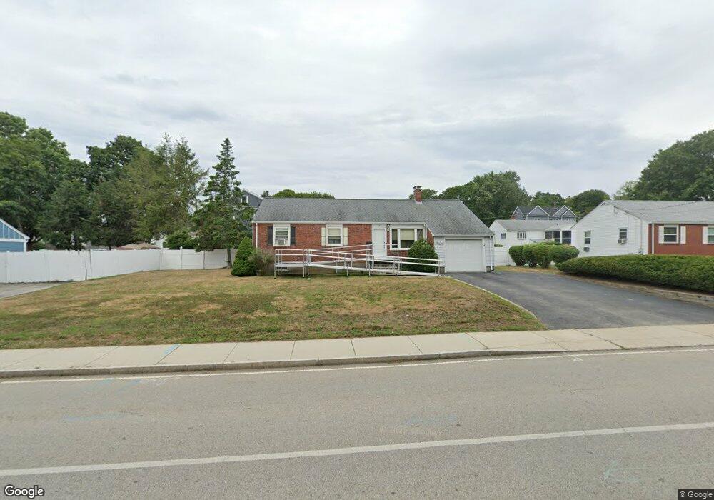
526 Trapelo Rd Waltham, MA 02452
North Waltham NeighborhoodEstimated Value: $645,000 - $817,000
3
Beds
1
Bath
1,200
Sq Ft
$632/Sq Ft
Est. Value
About This Home
This home is located at 526 Trapelo Rd, Waltham, MA 02452 and is currently estimated at $758,624, approximately $632 per square foot. 526 Trapelo Rd is a home located in Middlesex County with nearby schools including Northeast Elementary School, John F Kennedy Middle School, and Waltham Sr High School.
Ownership History
Date
Name
Owned For
Owner Type
Purchase Details
Closed on
Jan 5, 2010
Sold by
Calnan Frank and Calnan Francis
Bought by
Adams Natalie
Current Estimated Value
Home Financials for this Owner
Home Financials are based on the most recent Mortgage that was taken out on this home.
Original Mortgage
$163,000
Outstanding Balance
$106,475
Interest Rate
4.85%
Mortgage Type
Purchase Money Mortgage
Estimated Equity
$652,149
Purchase Details
Closed on
Jul 27, 2006
Sold by
Margosian Alfred A and Margosian Mary D
Bought by
Calnan Frank
Purchase Details
Closed on
Aug 28, 2000
Sold by
Smith Martha M and Smith William F
Bought by
Margosian Alfred A
Home Financials for this Owner
Home Financials are based on the most recent Mortgage that was taken out on this home.
Original Mortgage
$132,000
Interest Rate
8.06%
Mortgage Type
Purchase Money Mortgage
Create a Home Valuation Report for This Property
The Home Valuation Report is an in-depth analysis detailing your home's value as well as a comparison with similar homes in the area
Home Values in the Area
Average Home Value in this Area
Purchase History
| Date | Buyer | Sale Price | Title Company |
|---|---|---|---|
| Adams Natalie | $363,000 | -- | |
| Calnan Frank | $310,000 | -- | |
| Margosian Alfred A | $282,000 | -- |
Source: Public Records
Mortgage History
| Date | Status | Borrower | Loan Amount |
|---|---|---|---|
| Open | Adams Natalie | $163,000 | |
| Previous Owner | Margosian Alfred A | $132,000 | |
| Previous Owner | Margosian Alfred A | $40,000 | |
| Previous Owner | Margosian Alfred A | $25,000 |
Source: Public Records
Tax History
| Year | Tax Paid | Tax Assessment Tax Assessment Total Assessment is a certain percentage of the fair market value that is determined by local assessors to be the total taxable value of land and additions on the property. | Land | Improvement |
|---|---|---|---|---|
| 2025 | $6,462 | $658,000 | $441,100 | $216,900 |
| 2024 | $6,136 | $636,500 | $421,600 | $214,900 |
| 2023 | $6,065 | $587,700 | $382,500 | $205,200 |
| 2022 | $6,021 | $540,500 | $343,500 | $197,000 |
| 2021 | $4,171 | $530,200 | $343,500 | $186,700 |
| 2020 | $5,873 | $491,500 | $320,100 | $171,400 |
| 2019 | $5,877 | $464,200 | $316,200 | $148,000 |
| 2018 | $3,790 | $423,200 | $292,800 | $130,400 |
| 2017 | $4,971 | $395,800 | $265,400 | $130,400 |
| 2016 | $4,654 | $380,200 | $249,800 | $130,400 |
| 2015 | $4,476 | $340,900 | $218,600 | $122,300 |
Source: Public Records
Map
Nearby Homes
- 345 Bishops Forest Dr
- 100 Shirley Rd
- 1105 Lexington St Unit 6-4
- 86 Indian Rd
- 14 Piedmont Ave
- 43 S Cottage Rd Unit 43
- 501 Lexington St Unit 11
- 203 College Farm Rd
- 12 Wellington Lane Ave
- 353 Concord Ave
- 12 Curve St
- 49 Lincoln St
- 135 Marsh St
- 60 Agassiz Ave
- 32 Moon Hill Rd
- 15 Spring Valley Rd
- 89 Hardy Pond Rd
- 20 Homer Rd
- 9 April Ln Unit 9
- 45 Beaver St
Your Personal Tour Guide
Ask me questions while you tour the home.