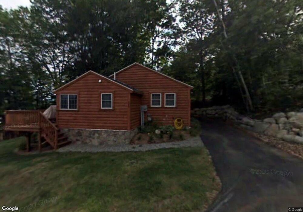
526 Wulamat Rd Bristol, NH 03222
Estimated Value: $612,637 - $1,116,000
3
Beds
1
Bath
838
Sq Ft
$1,037/Sq Ft
Est. Value
About This Home
This home is located at 526 Wulamat Rd, Bristol, NH 03222 and is currently estimated at $868,659, approximately $1,036 per square foot. 526 Wulamat Rd is a home located in Grafton County with nearby schools including Bristol Elementary School.
Ownership History
Date
Name
Owned For
Owner Type
Purchase Details
Closed on
Aug 18, 2008
Sold by
Next Phase Llc
Bought by
Nassar William M and Nassar Ermelinda A
Current Estimated Value
Home Financials for this Owner
Home Financials are based on the most recent Mortgage that was taken out on this home.
Original Mortgage
$248,000
Interest Rate
6.4%
Create a Home Valuation Report for This Property
The Home Valuation Report is an in-depth analysis detailing your home's value as well as a comparison with similar homes in the area
Home Values in the Area
Average Home Value in this Area
Purchase History
| Date | Buyer | Sale Price | Title Company |
|---|---|---|---|
| Nassar William M | $310,000 | -- |
Source: Public Records
Mortgage History
| Date | Status | Borrower | Loan Amount |
|---|---|---|---|
| Open | Nassar William M | $224,500 | |
| Closed | Nassar William M | $248,000 |
Source: Public Records
Tax History Compared to Growth
Tax History
| Year | Tax Paid | Tax Assessment Tax Assessment Total Assessment is a certain percentage of the fair market value that is determined by local assessors to be the total taxable value of land and additions on the property. | Land | Improvement |
|---|---|---|---|---|
| 2024 | $7,851 | $332,400 | $0 | $332,400 |
| 2023 | $7,562 | $332,400 | $0 | $332,400 |
| 2022 | $6,977 | $332,400 | $0 | $332,400 |
| 2021 | $6,718 | $332,400 | $0 | $332,400 |
| 2020 | $6,877 | $332,400 | $0 | $332,400 |
| 2019 | $6,788 | $297,700 | $0 | $297,700 |
| 2018 | $6,054 | $277,700 | $0 | $277,700 |
| 2017 | $6,061 | $273,900 | $0 | $273,900 |
| 2016 | $5,551 | $269,200 | $0 | $269,200 |
| 2015 | $5,063 | $251,500 | $0 | $251,500 |
| 2014 | $5,063 | $251,500 | $0 | $251,500 |
| 2013 | $5,075 | $251,500 | $0 | $251,500 |
Source: Public Records
Map
Nearby Homes
- 420 Wulamat Rd
- 400 Wulamat Rd
- 383 Wulamat Rd
- 35 Manor Estates Dr Unit 14
- 199 Cottage City Rd
- 40 Adams Rd
- 26 Don Gerry Rd
- 17 Village Dr W Unit 11
- 29 Pasquaney Ln Unit 10
- 10 & 20 North Rd
- 711 W Shore Rd
- 114 Ledgewood Terrace
- 275 Shore Dr N
- 80 Ridge Rd
- 94 Mandi Ln
- 125 Verrill Rd
- 29 Mollie Rd
- 10 North Rd
- Lot 7 Hall Rd
- Lots 1 & 2 Hall Rd
- 526 Wulamat Rd Unit 526
- 520 Wulamat Rd
- 520 Wulamat Rd Unit 6
- 30 Gareth Ln
- 521 Wulamat Rd
- 521 Wulamat Rd Unit 521
- 518 Wulamat Rd #7
- 518 Wulamat Rd Unit 7
- 518 Wulamat Road #7 Unit 7
- 527 Wulamat Rd Unit 527
- 527 Wulamat Rd
- 161 Gallahad Ln
- 519 Wulamat Rd Unit 519
- 519 Wulamat Rd Unit 2
- 519 Wulamat Rd
- 514 Wulamat Rd
- 20 Gareth Ln
- 510 Wulamat Rd
- 510 Wulamat Rd Unit 8
- 511 Wulamat Rd Unit 511