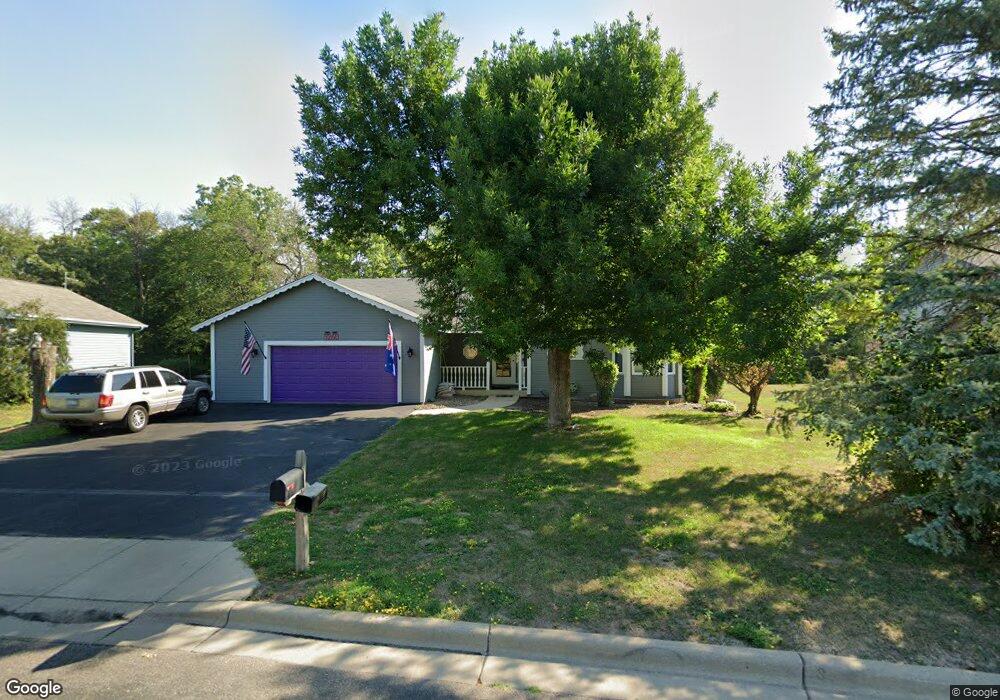
5260 W 132nd St Savage, MN 55378
Estimated Value: $388,000 - $442,024
4
Beds
3
Baths
2,880
Sq Ft
$143/Sq Ft
Est. Value
About This Home
This home is located at 5260 W 132nd St, Savage, MN 55378 and is currently estimated at $412,506, approximately $143 per square foot. 5260 W 132nd St is a home located in Scott County with nearby schools including Eagle Ridge Middle School, Burnsville High School, and St. John the Baptist Catholic School and Preschool.
Ownership History
Date
Name
Owned For
Owner Type
Purchase Details
Closed on
Jun 15, 2020
Sold by
Open Roads Llc
Bought by
Sabbagh Mohamed El and El Sabbagh Mohamed
Current Estimated Value
Home Financials for this Owner
Home Financials are based on the most recent Mortgage that was taken out on this home.
Original Mortgage
$298,418
Interest Rate
3.2%
Mortgage Type
FHA
Create a Home Valuation Report for This Property
The Home Valuation Report is an in-depth analysis detailing your home's value as well as a comparison with similar homes in the area
Home Values in the Area
Average Home Value in this Area
Purchase History
| Date | Buyer | Sale Price | Title Company |
|---|---|---|---|
| Sabbagh Mohamed El | $270,000 | None Available |
Source: Public Records
Mortgage History
| Date | Status | Borrower | Loan Amount |
|---|---|---|---|
| Closed | Sabbagh Mohamed El | $298,418 |
Source: Public Records
Tax History
| Year | Tax Paid | Tax Assessment Tax Assessment Total Assessment is a certain percentage of the fair market value that is determined by local assessors to be the total taxable value of land and additions on the property. | Land | Improvement |
|---|---|---|---|---|
| 2025 | $4,742 | $414,700 | $202,600 | $212,100 |
| 2024 | $4,618 | $434,400 | $221,100 | $213,300 |
| 2023 | $4,832 | $423,100 | $214,700 | $208,400 |
| 2022 | $4,174 | $443,100 | $214,700 | $228,400 |
| 2021 | $4,338 | $364,800 | $170,600 | $194,200 |
| 2020 | $5,146 | $355,400 | $163,400 | $192,000 |
| 2019 | $4,784 | $339,800 | $151,300 | $188,500 |
| 2018 | $4,082 | $0 | $0 | $0 |
| 2016 | $4,024 | $0 | $0 | $0 |
| 2014 | -- | $0 | $0 | $0 |
Source: Public Records
Map
Nearby Homes
- 13063 Vernon Ave
- 13632 Princeton Cir
- 4731 W 129th St
- 4430 McColl Dr
- 5935 W 136th St
- 6056 W 137th St
- 6436 132nd Ln W
- 12632 Natchez Ave
- 13475 Glenhurst Ave
- 12719 Huntington Ave
- 4318 & 4320 W 126th St
- 12634 Inglewood Ave S
- 4029 127th Trail
- 13742 Inglewood Ave
- 4326 W 126th St
- 4721 W 124th St
- 13542 Kentucky Ave
- 5583 W 140th St
- 4845 W 123rd St Unit 203
- 13956 Brunswick Ave S
- 5246 W 132nd St
- 5288 W 132nd St
- 5309 W 132nd St
- 5320 W 132nd St
- 5327 W 132nd St
- 5300 132nd Ln
- 5300 132nd Ln W
- 5225 132nd Ln
- 5353 W 132nd St
- 5342 W 132nd St
- 5312 132nd Ln
- 5312 132nd Ln W
- 5340 132nd Ln
- 5371 W 132nd St
- 5231 132nd Ln
- 5364 W 132nd St
- 5366 132nd Ln
- 13175 Utica Ave
- 13195 Utica Ave
- 5395 W 132nd St
Your Personal Tour Guide
Ask me questions while you tour the home.