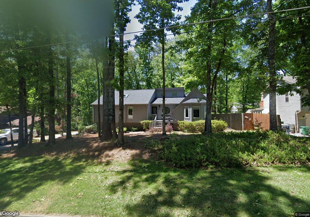
5262 Walker Rd Unit 2 Stone Mountain, GA 30088
Estimated Value: $244,924 - $258,000
3
Beds
2
Baths
1,728
Sq Ft
$144/Sq Ft
Est. Value
About This Home
This home is located at 5262 Walker Rd Unit 2, Stone Mountain, GA 30088 and is currently estimated at $248,481, approximately $143 per square foot. 5262 Walker Rd Unit 2 is a home located in DeKalb County with nearby schools including Eldridge L. Miller Elementary School, Redan Middle School, and Redan High School.
Ownership History
Date
Name
Owned For
Owner Type
Purchase Details
Closed on
Sep 9, 2010
Sold by
Arnold Richard C
Bought by
Arnold Richard C and Arnold Cynthia A
Current Estimated Value
Purchase Details
Closed on
May 16, 1994
Sold by
Satterfield Mark E Karen B
Bought by
Arnold Richard C
Home Financials for this Owner
Home Financials are based on the most recent Mortgage that was taken out on this home.
Original Mortgage
$90,200
Interest Rate
8.48%
Mortgage Type
FHA
Create a Home Valuation Report for This Property
The Home Valuation Report is an in-depth analysis detailing your home's value as well as a comparison with similar homes in the area
Home Values in the Area
Average Home Value in this Area
Purchase History
| Date | Buyer | Sale Price | Title Company |
|---|---|---|---|
| Arnold Richard C | -- | -- | |
| Arnold Richard C | $92,400 | -- |
Source: Public Records
Mortgage History
| Date | Status | Borrower | Loan Amount |
|---|---|---|---|
| Previous Owner | Arnold Richard C | $90,200 |
Source: Public Records
Tax History
| Year | Tax Paid | Tax Assessment Tax Assessment Total Assessment is a certain percentage of the fair market value that is determined by local assessors to be the total taxable value of land and additions on the property. | Land | Improvement |
|---|---|---|---|---|
| 2025 | $2,976 | $104,720 | $14,000 | $90,720 |
| 2024 | $3,129 | $108,360 | $14,000 | $94,360 |
| 2023 | $3,129 | $100,680 | $14,000 | $86,680 |
| 2022 | $2,469 | $82,680 | $10,040 | $72,640 |
| 2021 | $1,897 | $57,880 | $10,040 | $47,840 |
| 2020 | $1,657 | $57,880 | $10,040 | $47,840 |
| 2019 | $890 | $49,120 | $10,040 | $39,080 |
| 2018 | $1,108 | $27,080 | $10,000 | $17,080 |
| 2017 | $1,377 | $40,160 | $10,040 | $30,120 |
| 2016 | $1,137 | $40,480 | $10,040 | $30,440 |
| 2014 | $944 | $28,480 | $10,040 | $18,440 |
Source: Public Records
Map
Nearby Homes
- 5257 Post Ridge Ct
- 767 Forest Path
- 854 Greenhedge Dr
- 800 Post Road Cir
- 826 Greenhedge Way Unit 2
- 5175 Walker Rd
- 868 Greenhedge Dr Unit 2
- 708 Greenhedge Dr Unit 3A
- 703 Kingsgate Ridge
- 5268 Fox Path
- 879 Lost Creek Cir
- 884 Forest Path
- 5208 Mainstreet Park Dr
- 759 Greenhedge Dr
- 5450 Fox Haven Trail
- 5343 Martins Crossing Rd
- 5215 Mainstreet Park Dr
- 922 Fox Valley Ct
- 5192 Mainstreet Park Dr
- 5242 McCarter Station
- 5254 Walker Rd Unit 2
- 5270 Walker Rd Unit 2
- 930 Post Road Cir
- 922 Post Road Cir
- 938 Post Road Cir
- 5246 Walker Rd
- 5278 Walker Rd
- 5302 Walker Ct
- 914 Post Road Cir
- 5271 Walker Rd
- 5249 Walker Rd
- 946 Post Road Cir
- 5238 Walker Rd Unit 2
- 5286 Walker Rd
- 5341 Post Road Pass
- 906 Post Road Cir
- 5349 Post Road Pass
- 5310 Walker Ct
- 915 Post Road Cir Unit I
- 5266 Post Ridge Ct
Your Personal Tour Guide
Ask me questions while you tour the home.