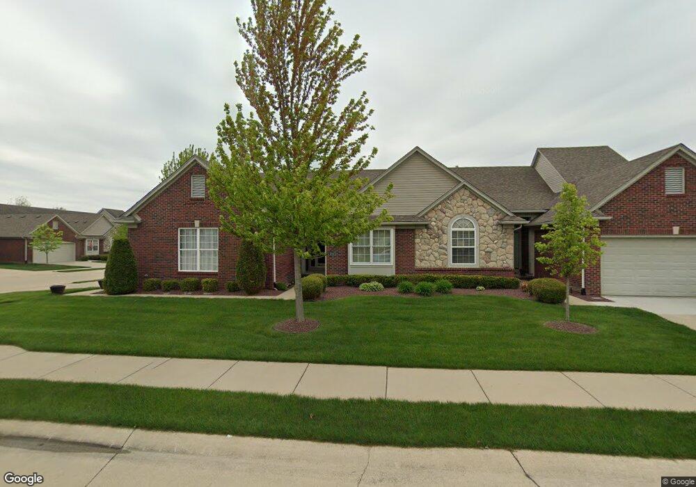
52631 Sable Dr Unit 45 Macomb, MI 48042
Estimated Value: $337,000 - $375,000
Studio
1
Bath
1,685
Sq Ft
$210/Sq Ft
Est. Value
About This Home
This home is located at 52631 Sable Dr Unit 45, Macomb, MI 48042 and is currently estimated at $353,726, approximately $209 per square foot. 52631 Sable Dr Unit 45 is a home located in Macomb County with nearby schools including Richard J. Duncan Elementary, Shelby Junior High School, and Eisenhower High School.
Ownership History
Date
Name
Owned For
Owner Type
Purchase Details
Closed on
Apr 16, 2021
Sold by
Lalonde Nancy J and Nancy J Lalonde Revocable Trus
Bought by
Lalonde Nancy J
Current Estimated Value
Home Financials for this Owner
Home Financials are based on the most recent Mortgage that was taken out on this home.
Original Mortgage
$100,000
Outstanding Balance
$75,209
Interest Rate
3.1%
Mortgage Type
New Conventional
Estimated Equity
$278,517
Purchase Details
Closed on
Oct 9, 2012
Sold by
Lalonde Nancy J
Bought by
Lalonde Nancy J and Nancy J Lalonde Revocable Trust
Purchase Details
Closed on
Sep 21, 2010
Sold by
Lalonde Nancy J
Bought by
Lalonde Nancy J and The Nancy J Lalonde Revocable Trust
Purchase Details
Closed on
Oct 20, 2006
Sold by
Silver Pines Lp
Bought by
Lalonde Nancy J
Create a Home Valuation Report for This Property
The Home Valuation Report is an in-depth analysis detailing your home's value as well as a comparison with similar homes in the area
Home Values in the Area
Average Home Value in this Area
Purchase History
| Date | Buyer | Sale Price | Title Company |
|---|---|---|---|
| Lalonde Nancy J | -- | First American Title | |
| Lalonde Nancy J | -- | Abstract Title Agency | |
| Lalonde Nancy L | -- | Abstract Title Agency | |
| Lalonde Nancy J | -- | None Available | |
| Lalonde Nancy J | $320,000 | Greco |
Source: Public Records
Mortgage History
| Date | Status | Borrower | Loan Amount |
|---|---|---|---|
| Open | Lalonde Nancy J | $100,000 |
Source: Public Records
Tax History
| Year | Tax Paid | Tax Assessment Tax Assessment Total Assessment is a certain percentage of the fair market value that is determined by local assessors to be the total taxable value of land and additions on the property. | Land | Improvement |
|---|---|---|---|---|
| 2025 | $2,005 | $171,300 | $0 | $0 |
| 2024 | $20 | $171,100 | $0 | $0 |
| 2023 | $1,848 | $150,600 | $0 | $0 |
| 2022 | $2,669 | $149,800 | $0 | $0 |
| 2021 | $2,600 | $147,400 | $0 | $0 |
| 2020 | $1,701 | $139,400 | $0 | $0 |
| 2019 | $2,384 | $123,400 | $0 | $0 |
| 2018 | $2,349 | $120,200 | $0 | $0 |
| 2017 | $2,318 | $100,650 | $21,000 | $79,650 |
| 2016 | $2,181 | $100,680 | $0 | $0 |
| 2015 | $2,154 | $96,670 | $0 | $0 |
| 2014 | $2,154 | $84,840 | $15,000 | $69,840 |
| 2011 | $649 | $82,250 | $13,000 | $69,250 |
Source: Public Records
Map
Nearby Homes
- 52210 Gabriella Ln Unit 39
- 16767 Cobblestone West Blvd
- 52192 Southview Ridge
- 17437 Westgrove Dr
- 52244 Stoneridge Unit 121
- 18011 Humber Bridge Dr Unit 61
- 52163 Heatherstone Ave
- 53650 Romeo Plank Rd
- 53428 Gregory Dr
- 16448 Trailway Dr
- 17796 Crystal River Dr
- 52204 Antler Dr
- 52361 Wellington Valley Dr
- 52169 Wellington Valley Dr
- 52937 Wellington Valley Dr
- 52137 Wellington Valley Dr
- 52105 Wellington Valley Dr
- 51684 Eva Dr
- 52009 Wellington Valley Dr
- 18873 Johannes St Unit 6
- 52647 Sable Dr Unit 46
- 52679 Sable Dr Unit 48
- 52663 Sable Dr Unit 47
- 52656 Sable Dr Unit 14
- 52640 Sable Dr
- 52640 Sable Dr Unit 7 13
- 52640 Sable Dr Unit 13
- 17631 Silver Pines Blvd Unit 12
- 17639 Silver Pines Blvd Unit 11
- 52711 Sable Dr Unit 50
- 52695 Sable Dr Unit 49
- 52688 Sable Dr Unit 16
- 52672 Sable Dr Unit 15
- 17636 Silver Pines Blvd Unit 10
- 52720 Sable Dr Unit 18
- 52704 Sable Dr Unit 17
- 52650 Wildwood Dr Unit 56
- 52668 Wildwood Dr Unit 55
- 52618 Wildwood Dr Unit 58
- 52634 Wildwood Dr Unit 57
Your Personal Tour Guide
Ask me questions while you tour the home.