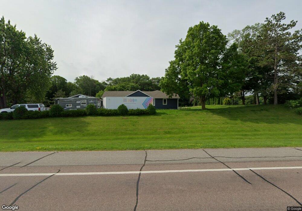
5265 20th St NE Buffalo, MN 55313
Estimated Value: $576,000 - $655,000
5
Beds
2
Baths
1,884
Sq Ft
$322/Sq Ft
Est. Value
About This Home
This home is located at 5265 20th St NE, Buffalo, MN 55313 and is currently estimated at $607,526, approximately $322 per square foot. 5265 20th St NE is a home located in Wright County with nearby schools including Parkside Elementary School, Buffalo Community Middle School, and Buffalo Senior High School.
Ownership History
Date
Name
Owned For
Owner Type
Purchase Details
Closed on
Nov 19, 2004
Sold by
Federal National Mortgage Association
Bought by
Not Provided
Current Estimated Value
Purchase Details
Closed on
Nov 8, 2004
Sold by
Federal National Mortgage Association
Bought by
Not Provided
Purchase Details
Closed on
Sep 21, 2001
Sold by
Pittman Dale A and Pittman Barbara J
Bought by
Alama Martin W
Create a Home Valuation Report for This Property
The Home Valuation Report is an in-depth analysis detailing your home's value as well as a comparison with similar homes in the area
Home Values in the Area
Average Home Value in this Area
Purchase History
| Date | Buyer | Sale Price | Title Company |
|---|---|---|---|
| Not Provided | $257,000 | -- | |
| Not Provided | $257,000 | -- | |
| Alama Martin W | $240,000 | -- |
Source: Public Records
Tax History Compared to Growth
Tax History
| Year | Tax Paid | Tax Assessment Tax Assessment Total Assessment is a certain percentage of the fair market value that is determined by local assessors to be the total taxable value of land and additions on the property. | Land | Improvement |
|---|---|---|---|---|
| 2025 | $4,974 | $558,800 | $177,000 | $381,800 |
| 2024 | $4,664 | $525,700 | $167,000 | $358,700 |
| 2023 | $4,538 | $508,400 | $153,000 | $355,400 |
| 2022 | $4,586 | $453,000 | $134,200 | $318,800 |
| 2021 | $4,180 | $398,800 | $112,100 | $286,700 |
| 2020 | $4,072 | $352,000 | $80,000 | $272,000 |
| 2019 | $3,210 | $293,200 | $0 | $0 |
| 2018 | $3,020 | $296,000 | $0 | $0 |
| 2017 | $2,880 | $281,500 | $0 | $0 |
| 2016 | $2,882 | $0 | $0 | $0 |
| 2015 | $2,812 | $0 | $0 | $0 |
| 2014 | -- | $0 | $0 | $0 |
Source: Public Records
Map
Nearby Homes
- 5000 10th St NE
- 68 Gillard Ave SE
- 103 Lilac Ct
- 2441 Greenbriar Ln
- 2458 Greenbriar Ln
- 2456 Greenbriar Ln
- 2454 Greenbriar Ln
- The Ashton Plan at Greenbriar Hills - Single Family
- The Barret Plan at Greenbriar Hills - Liberty Series
- The Foster Plan at Greenbriar Hills - Single Family
- The Primrose Plan at Greenbriar Hills - Single Family
- The Becker Plan at Greenbriar Hills - Liberty Series
- The Brookston Plan at Greenbriar Hills - Liberty Series
- The Waverly Plan at Greenbriar Hills - Single Family
- The Mulbery Plan at Greenbriar Hills - Single Family
- The Biscay Plan at Greenbriar Hills - Liberty Series
- The Cheyenne Plan at Greenbriar Hills - Single Family
- The Rockport Plan at Greenbriar Hills - Single Family
- 1878 Aster Ct
- 1876 Aster Ct
- 5409 20th St NE
- 5166 20th St NE
- 1961 Edmonson Ave NE
- 2027 Edmonson Ave NE
- 2040 Fenning Ave NE
- 5505 20th St NE
- 2063 Fenning Ave NE
- 2228 Edmonson Ave NE
- 1743 Edmonson Ave NE
- 2122 Fenning Ave NE
- 2262 Edmonson Ave NE
- 1701 Edmonson Ave NE
- 1801 Edmonson Ave NE
- 2198 Fenning Ave NE
- 2331 Edmonson Ave NE
- 1444 Edmonson Ave NE
- 1497 Edmonson Ave NE
- 2457 Edmonson Ave NE
- 2286 Fenning Ave NE
- 5951 23rd St NE
