5266 Durfee Rd Unit 1 Eaton Rapids, MI 48827
Estimated Value: $299,000 - $370,200
3
Beds
2
Baths
1,369
Sq Ft
$244/Sq Ft
Est. Value
About This Home
This home is located at 5266 Durfee Rd Unit 1, Eaton Rapids, MI 48827 and is currently estimated at $333,800, approximately $243 per square foot. 5266 Durfee Rd Unit 1 is a home located in Eaton County with nearby schools including Lockwood Elementary School, Greyhound Intermediate School, and Eaton Rapids Middle School.
Ownership History
Date
Name
Owned For
Owner Type
Purchase Details
Closed on
Jul 11, 2019
Sold by
Wells Ronald H and Wells Mary R
Bought by
Mccllntic Peggy E and Wells Samuel E
Current Estimated Value
Purchase Details
Closed on
Jul 1, 2003
Sold by
Collins Robert C
Bought by
Wells Ronald H and Wells Mary R
Home Financials for this Owner
Home Financials are based on the most recent Mortgage that was taken out on this home.
Original Mortgage
$84,000
Interest Rate
6.49%
Mortgage Type
Unknown
Create a Home Valuation Report for This Property
The Home Valuation Report is an in-depth analysis detailing your home's value as well as a comparison with similar homes in the area
Home Values in the Area
Average Home Value in this Area
Purchase History
| Date | Buyer | Sale Price | Title Company |
|---|---|---|---|
| Mccllntic Peggy E | -- | None Available | |
| Wells Ronald H | $154,000 | Metropolitan Title Okemos |
Source: Public Records
Mortgage History
| Date | Status | Borrower | Loan Amount |
|---|---|---|---|
| Previous Owner | Wells Ronald H | $84,000 |
Source: Public Records
Tax History Compared to Growth
Tax History
| Year | Tax Paid | Tax Assessment Tax Assessment Total Assessment is a certain percentage of the fair market value that is determined by local assessors to be the total taxable value of land and additions on the property. | Land | Improvement |
|---|---|---|---|---|
| 2025 | $2,719 | $131,600 | $0 | $0 |
| 2024 | $985 | $127,200 | $0 | $0 |
| 2023 | $938 | $110,100 | $0 | $0 |
| 2022 | $2,409 | $99,400 | $0 | $0 |
| 2021 | $2,283 | $93,900 | $0 | $0 |
| 2020 | $2,254 | $88,300 | $0 | $0 |
| 2019 | $2,223 | $84,500 | $0 | $0 |
| 2018 | $2,173 | $81,857 | $0 | $0 |
| 2017 | $2,132 | $76,379 | $0 | $0 |
| 2016 | -- | $72,704 | $0 | $0 |
| 2015 | -- | $72,666 | $0 | $0 |
| 2014 | -- | $68,778 | $0 | $0 |
| 2013 | -- | $67,695 | $0 | $0 |
Source: Public Records
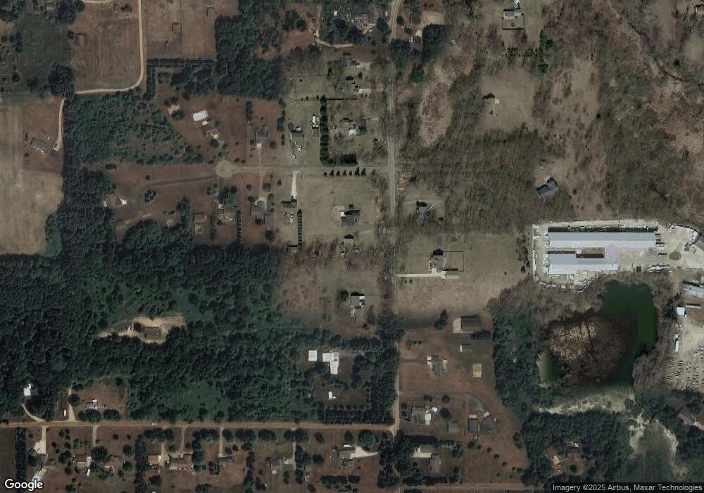
Map
Nearby Homes
- 5399 Durfee Rd
- 0 S Clinton Trail Unit 20018035
- 315 Hamman Dr
- 306 Grand St
- 645 N Gallery Dr Unit 98
- 539 Harwood Ct Unit 134
- 933 Tyler Dr
- 7565 E Spicerville Hwy
- V/L Chester St
- 201 W Broad St
- 500 King St
- 502 S Main St
- 9912 Kinneville Rd
- 5710 Houston Rd
- 208 Dutton St
- 502 S East St
- 716 Cumberland Dr
- 220 S River St
- 329 W Knight St
- 100 S Center St
- 5244 Durfee Rd Unit 2
- 0 Durfee Rd
- 5306 Durfee Rd
- 8674 Katelin Dr
- 5201 Durfee Rd
- 5285 Durfee Rd
- 8648 Katelin Dr
- 5160 Durfee Rd
- 5356 Durfee Rd
- 8671 Katelin Dr
- 8616 Katelin Dr
- 5331 Durfee Rd
- 5349 Durfee Rd
- 5116 Durfee Rd Unit 5
- 8619 Katelin Dr
- 5103 Durfee Rd
- 5195 Durfee Rd
- 5197 Durfee Rd
- 5420 Durfee Rd