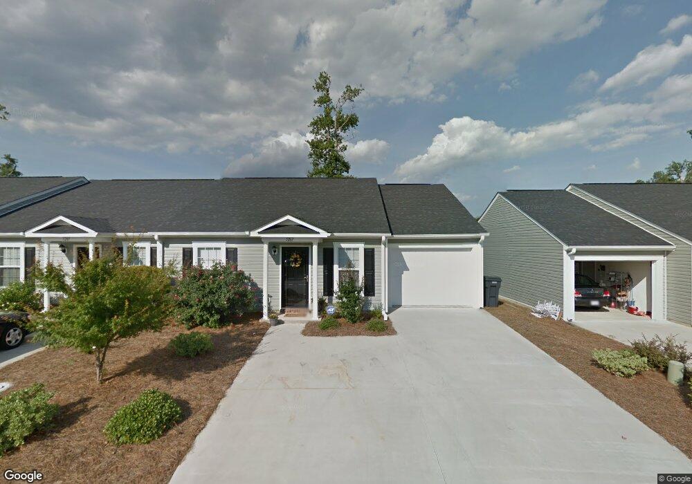
5267 Aruba Cir Augusta, GA 30909
Belair NeighborhoodEstimated Value: $196,483 - $211,000
2
Beds
2
Baths
1,298
Sq Ft
$157/Sq Ft
Est. Value
About This Home
This home is located at 5267 Aruba Cir, Augusta, GA 30909 and is currently estimated at $204,121, approximately $157 per square foot. 5267 Aruba Cir is a home located in Richmond County with nearby schools including Sue Reynolds Elementary School, Langford Middle School, and Johnson Magnet.
Ownership History
Date
Name
Owned For
Owner Type
Purchase Details
Closed on
Aug 12, 2020
Sold by
Williams Norma Roberta
Bought by
Cain Norma Roberta
Current Estimated Value
Purchase Details
Closed on
Jul 31, 2009
Sold by
St Kitts Llc
Bought by
Williams Norma R
Home Financials for this Owner
Home Financials are based on the most recent Mortgage that was taken out on this home.
Original Mortgage
$86,320
Interest Rate
5.36%
Mortgage Type
New Conventional
Create a Home Valuation Report for This Property
The Home Valuation Report is an in-depth analysis detailing your home's value as well as a comparison with similar homes in the area
Home Values in the Area
Average Home Value in this Area
Purchase History
| Date | Buyer | Sale Price | Title Company |
|---|---|---|---|
| Cain Norma Roberta | -- | -- | |
| Williams Norma R | $107,900 | -- |
Source: Public Records
Mortgage History
| Date | Status | Borrower | Loan Amount |
|---|---|---|---|
| Previous Owner | Williams Norma R | $86,320 |
Source: Public Records
Tax History Compared to Growth
Tax History
| Year | Tax Paid | Tax Assessment Tax Assessment Total Assessment is a certain percentage of the fair market value that is determined by local assessors to be the total taxable value of land and additions on the property. | Land | Improvement |
|---|---|---|---|---|
| 2024 | $935 | $78,344 | $10,800 | $67,544 |
| 2023 | $935 | $70,568 | $10,800 | $59,768 |
| 2022 | $888 | $60,730 | $10,800 | $49,930 |
| 2021 | $795 | $46,685 | $8,400 | $38,285 |
| 2020 | $800 | $46,685 | $8,400 | $38,285 |
| 2019 | $1,373 | $37,850 | $8,400 | $29,450 |
| 2018 | $1,382 | $37,850 | $8,400 | $29,450 |
| 2017 | $1,376 | $37,850 | $8,400 | $29,450 |
| 2016 | $1,377 | $37,850 | $8,400 | $29,450 |
| 2015 | $1,427 | $39,090 | $8,400 | $30,690 |
| 2014 | $1,546 | $38,892 | $8,400 | $30,492 |
Source: Public Records
Map
Nearby Homes
- 5149 Wheeler Lake Rd
- 5129 Wheeler Lake Rd
- 1215 Brookstone Way
- 5226 Aruba Cir
- 3106 Clarendon Ct
- 1133 Brookstone Way
- 1125 Brookstone Way
- 1404 Feldspar Ct
- 5034 Wheeler Lake Rd
- 3605 Wrightsboro Rd
- 2631 Chaucer Dr
- 2949 Hillcreek Dr
- 1402 Marks Church Rd
- 113 Barts Dr
- 107 Barts Dr
- 4005 Calypso Dr
- 308 Nevis Dr
- 4019 Calypso Dr
- 300 Nevis Dr
- 3023 Abba Dr
- 5269 Aruba Cir
- 5265 Aruba Cir
- 5271 Aruba Cir
- 5263 Aruba Cir
- 5273 Aruba Cir
- 1175 Brookstone Way Unit P/ 3
- 5266 Aruba Cir
- 5264 Aruba Cir
- 5268 Aruba Cir
- 5262 Aruba Cir
- 5275 Aruba Cir
- 5259 Aruba Cir
- 5260 Aruba Cir
- 1179 Brookstone Way Unit P/ 4
- 5258 Aruba Cir
- 5257 Aruba Cir
- 5317 Grenada Ln
- 1173 Brookstone Way Unit P/2
- 5256 Aruba Cir